Summary
As the fourth highest summit in the state, it reaches an impressive elevation of 14,351 feet (4,374 meters). Its prominence and grandeur make it a popular destination for mountaineers and hikers alike. Blanca Peak is also part of the Sangre de Cristo Range, extending from southern Colorado into northern New Mexico.
During the winter season, Blanca Peak experiences a wide range of snowpack conditions. The mountain's high elevation and exposure to frequent winter storms contribute to substantial snow accumulation. Snowpack depths on the peak can range from several feet to over 15 feet (4.5 meters) in some areas. The snowpack creates excellent opportunities for winter mountaineering and backcountry skiing, attracting outdoor enthusiasts seeking thrilling adventures.
Blanca Peak's melting snowpack feeds into several significant creeks and rivers, including the Rio Grande and its tributaries. These waterways benefit from the mountain's runoff, providing a crucial water source for the surrounding ecosystems and communities downstream. This hydrological connection further highlights the importance of Blanca Peak's geographical location within the Rocky Mountains.
The name "Blanca" originates from the Spanish word for "white," which aptly describes the peak's snow-covered appearance. The mountain holds special significance for the indigenous people of the region, who have long revered it as a sacred site. It is said that the peak was a home to powerful spirits and served as a place of spiritual retreat for Native American tribes. Many legends and stories surround Blanca Peak, adding to its mystique and allure.
In conclusion, Blanca Peak's towering height, extensive snowpack during winter, and its influence on the region's water systems make it a prominent landmark in the Rocky Mountains. Its rich history and cultural significance further enhance its appeal, attracting adventurers and nature enthusiasts from around the world.
°F
°F
mph
Wind
%
Humidity
15-Day Weather Outlook
5-Day Hourly Forecast Detail
Regional Streamflow Levels
13
Cubic Feet Per Second
92
Cubic Feet Per Second
6
Cubic Feet Per Second
-999
Cubic Feet Per Second
Area Campgrounds
| Location | Reservations | Toilets |
|---|---|---|
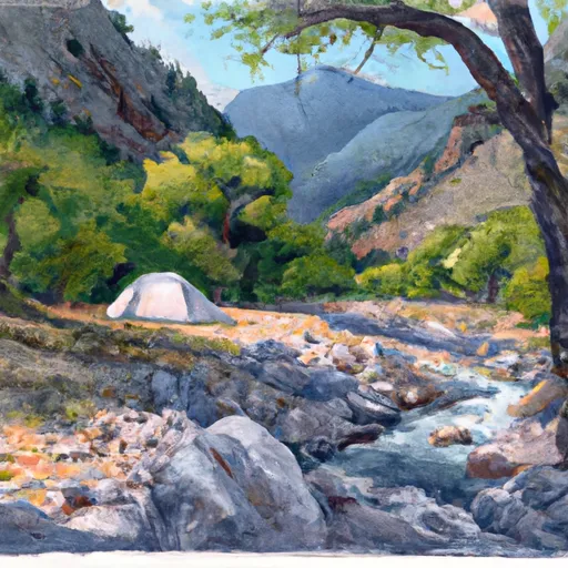 Zapata Falls Site 19
|
||
 Zapata Falls Site 18
|
||
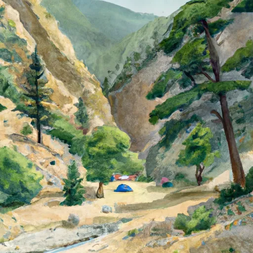 Zapata Falls Site 17
|
||
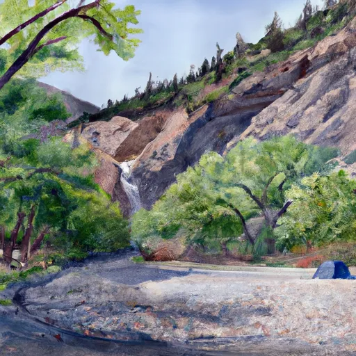 Zapata Falls Site 20
|
||
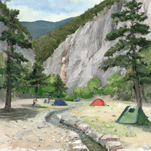 Zapata Falls Site 11
|
||
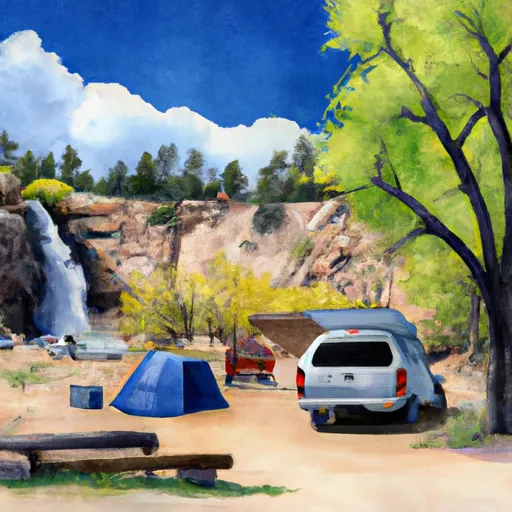 Zapata Falls Site 16
|
