Summary
With its summit reaching an elevation of approximately 12,622 feet, it is one of the highest and most recognizable peaks in the area. This majestic mountain offers breathtaking panoramic views of the surrounding landscape, making it a popular destination for mountaineers and hikers alike.
During the winter season, Santa Fe Baldy receives a substantial amount of snowpack. The snowpack range varies depending on the year and weather conditions, with an average snow depth of around 60-80 inches. This makes it an ideal location for winter sports enthusiasts, such as backcountry skiing and snowshoeing.
Several creeks and rivers in the region benefit from the mountain's runoff. The Rio Nambe, Rio En Medio, and Rio Quemado all originate from Santa Fe Baldy, providing a vital water source for both wildlife and nearby communities. The pristine waters flowing from the mountain create an ideal habitat for trout fishing and contribute to the overall biodiversity of the area.
Santa Fe Baldy gets its name from the city of Santa Fe, located to the southeast. The term "baldy" refers to the treeless summit of the mountain, which offers unobstructed panoramic views. The name reflects the Spanish influence in the region, as Santa Fe means "holy faith" in Spanish. The mountain holds a significant place in the folklore and legends of the local Pueblo tribes, who consider it a sacred site. Mountaineers and adventurers can not only enjoy the physical challenges of scaling Santa Fe Baldy but also immerse themselves in the rich cultural and natural history that surrounds this magnificent peak.
°F
°F
mph
Wind
%
Humidity
15-Day Weather Outlook
5-Day Hourly Forecast Detail
Regional Streamflow Levels
4
Cubic Feet Per Second
3
Cubic Feet Per Second
1
Cubic Feet Per Second
263
Cubic Feet Per Second
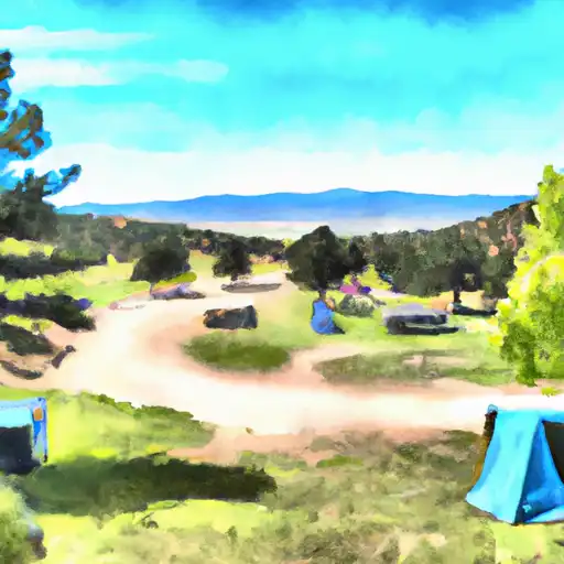
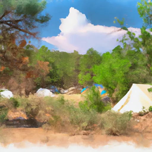
Area Campgrounds
| Location | Reservations | Toilets |
|---|---|---|
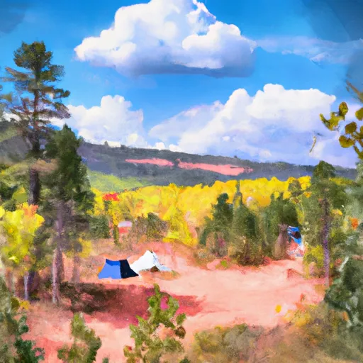 Aspen Basin
|
||
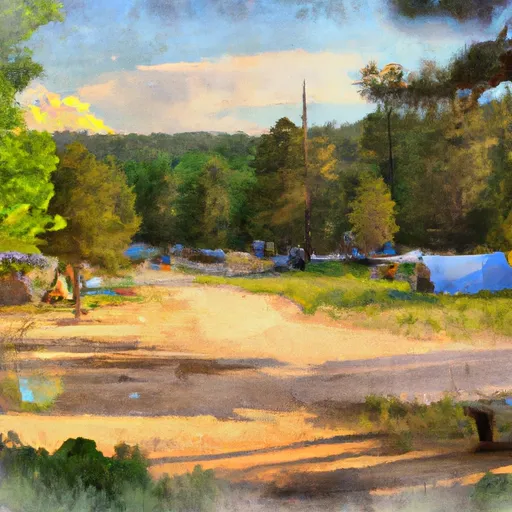 Aspen Basin Campground
|
||
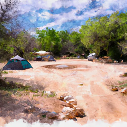 Windsor Creek Campground
|
||
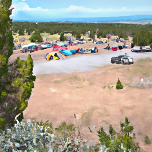 Holy Ghost Group Campground
|
||
 Holy Ghost
|
||
 Big Tesuque
|
