Across the Nation
Published December 21 2024
As winter grips the nation, snow and avalanche conditions across various regions are being closely monitored. The current status of snowfall, snowpack stability, and reservoir levels offers a mixed bag of conditions for outdoor enthusiasts and water resource managers alike.
In terms of snowfall, the Central Rockies and the Northern Cascades are experiencing significant snow accumulation, with forecasts predicting continued snowfall. This bodes well for ski areas like Vail in Colorado and Mount Baker in Washington, promising fresh powder for skiers and snowboarders. However, the abundance of snow raises concerns for potential avalanches. The Colorado Avalanche Information Center has reported low to moderate danger levels, advising caution in specific terrain features. Meanwhile, the Northwest Avalanche Center in Washington states moderate danger, signaling that careful evaluation of snow and terrain is necessary to identify risky areas.
Water storage levels in reservoirs show varied readings. For instance, Lake Winnipesaukee in New Hampshire is currently at a gage height of 3 feet, below its average of 3.77 feet, possibly indicating lower water availability for the area. Conversely, General Edgar Jadwin Reservoir in Pennsylvania stands at 990 feet, slightly above its average, hinting at healthy water reserves. These snapshots of reservoir data are critical for managing water supply and anticipating flood risks, especially in areas where snowmelt contributes significantly to water levels. The Maurice R at Union Lake Dam in New Jersey shows a current streamflow of 192 cubic feet per second, well below its average of 296.72, which could affect local ecosystems and water availability.
Overall, the nation's winter conditions present both opportunities for recreational activities and challenges for water management. As snow continues to fall and temperatures fluctuate, it's essential for local communities and authorities to stay informed about the latest conditions to ensure safety and efficient resource utilization.


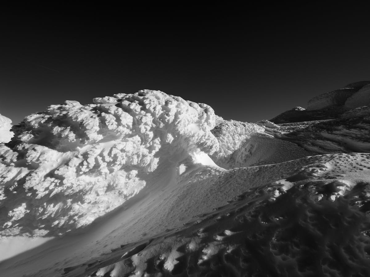 As winter sports enthusiasts flock to the nation's majestic mountains, the latest avalanche warnings paint a picture of varied conditions across the country's alpine regions. In California, both the Central Sierra and Bridgeport Avalanche Centers have reported moderate danger levels, urging snow-goers to exercise caution on certain terrain features. The same advice comes from Oregon's Central Cascades, where recent snowfall has heightened avalanche risks in specific areas. Conversely, the Eastern Sierra Avalanche Center indicates generally safe conditions, with only isolated ...
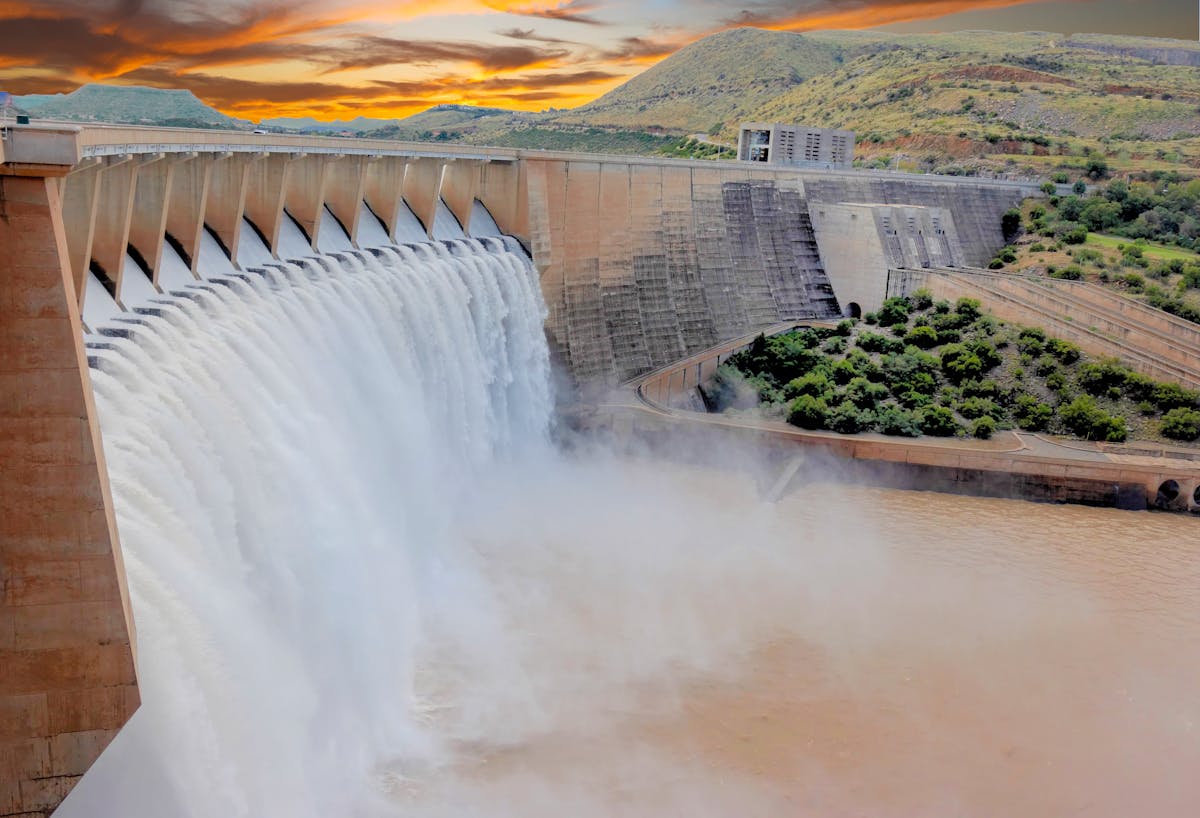 As the latest observations reveal, the nation's dams and reservoirs are experiencing a wide range of storage levels that reflect diverse hydrological conditions across different regions. While some reservoirs are currently facing surpluses, others are grappling with below-average water levels, which could lead to concerns about water supply and management challenges.
 Recent observations of river conditions across the United States indicate a mix of above-average streamflows and extreme conditions in several watersheds and rivers, posing varying impacts on different regions. Notably, the Columbia River at Beaver Army Terminal near Quincy, Oregon, is experiencing high streamflows, with a report of 354,000 cubic feet per second (cfs) amid a forecast of rain. Similarly, the Ohio River at multiple gauges, including Old Shawneetown, IL-KY, and Cannelton Dam at Cannelton, IN, is showing significant streamflow ...
 As winter enthusiasts revel in the fresh snowfall, the latest weather data brings exhilarating news for snow seekers. Over the past 24 hours, a cascade of new snow has blanketed several areas, setting the stage for a winter wonderland. With forecasts predicting even more snow in the coming 24-48 hours, ski-resorts and cities in Idaho and Wyoming are bracing for an abundance of fresh powder, promising excellent conditions for winter sports and activities.
 Severe flooding has gripped several regions across the nation, with particular areas facing dangerous levels of rising water and heightened emergency alerts. The Upper White-Village area has seen streamflows at a staggering 153.64% of their normal levels, resulting in rapid inundations in nearby communities. The Middle Pearl-Strong region is experiencing catastrophic flooding as well, with river measurements indicating a 917.22% increase over typical flow rates. Additionally, the Nolichucky and Pigeon rivers are exceeding normal flows by over 1600%, posing a ...
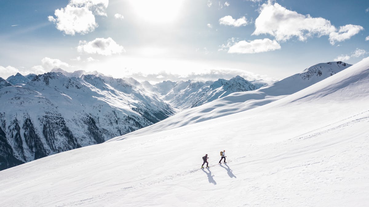 As we head into a fresh week of winter sports, ski enthusiasts can look forward to significant snowfall across select resorts in the nation, particularly in Idaho, where the resorts are gearing up for a substantial snow boost. Starting with Idaho, the Cool Creek sensor is signaling a winter wonderland with a hefty 16 inches of new snow on the horizon, and a base of 49 inches. Skiers and snowboarders can expect a mix of rain and snow, which could ...
