Summary
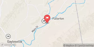
The ideal streamflow range for this segment is between 500-2000 cfs. The segment mileage is approximately 4.3 miles, starting at the Al 35 Bridge and ending one mile upstream from the Al 273 Bridge.
This section of the river is rated Class III-IV, with rapids such as Greyhound, The Chute, Pinball, and Can Opener. These rapids offer exciting challenges for experienced paddlers. However, beginners should not attempt this section of the river.
There are specific regulations to the area, including the requirement of wearing a personal flotation device (PFD) at all times while on the river. Additionally, alcohol and drugs are strictly prohibited on the river.
Overall, the Whitewater River Run in Alabama is a thrilling and challenging experience for experienced whitewater paddlers. It is important to follow all regulations and safety precautions while on the river to ensure a safe and enjoyable experience. Sources: American Whitewater, Alabama Scenic River Trail.
°F
°F
mph
Wind
%
Humidity
15-Day Weather Outlook
River Run Details
| Last Updated | 2026-02-10 |
| River Levels | 10 cfs (1.76 ft) |
| Percent of Normal | 47% |
| Status | |
| Class Level | iii-iv |
| Elevation | ft |
| Run Length | 3.0 Mi |
| Streamflow Discharge | cfs |
| Gauge Height | ft |
| Reporting Streamgage | USGS 02399200 |
5-Day Hourly Forecast Detail
Nearby Streamflow Levels
River Runs
-
 Al 35 Bridge To Ends One Mile Upstream From Al 273 Bridge
-
 Confluence With East And West Branches To Al 37 Bridge
-
 Begins One Mile Upstream From Al 273 Bridge To Lake Weiss
-
 River Miles 8 Near Ga Sate Line To Confluence With Little River
-
 Desoto Falls In Desoto State Park To Confluence With Little River


 Alabama Walking Park
 Williams Avenue Athletic Facilities
 Little River Canyon National preserve