Summary
The run begins 0.5 miles upstream from the confluence with the Colorado River and stretches for approximately 15 miles to the confluence itself. The ideal streamflow range for this run is between 800 and 1,500 cubic feet per second (cfs), which typically occurs between March and May.
The Whitewater River Run is classified as a Class III to IV run, which means it is moderately difficult with some challenging rapids and obstacles. Some of the notable rapids on this run include the Wall, the Chute, the Trench, and the S-Turn. These rapids can be especially challenging during high water flows, making it important for experienced paddlers to exercise caution and practice proper safety techniques.
There are specific regulations to the area that should be followed by all visitors. Permits are required to paddle the Whitewater River Run and can be obtained through the Bureau of Land Management. Visitors must also practice Leave No Trace principles and pack out all trash and waste. Additionally, fires are prohibited in the area and camping is only allowed in designated campsites.
In conclusion, the Whitewater River Run offers a thrilling and challenging adventure for experienced paddlers. With a Class III to IV rating, specific rapids and obstacles, and regulations to follow, visitors can expect a memorable and safe experience on the water.
River Run Details
| Last Updated | 2026-01-17 |
| River Levels | 0 cfs (5.27 ft) |
| Percent of Normal | 50% |
| Status | |
| Class Level | iii |
| Elevation | ft |
| Streamflow Discharge | cfs |
| Gauge Height | ft |
| Reporting Streamgage | USGS 09404222 |


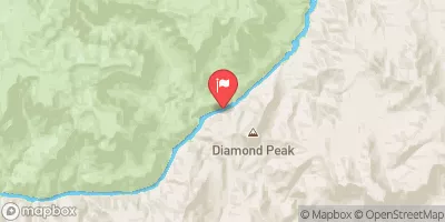
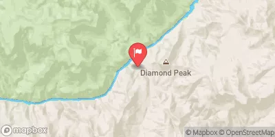
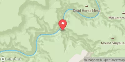
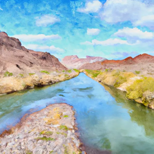 Begins 0.5 Miles Upstream From The Confluence With The Colorado River To Confluence With The Colorado River