Begins Just Downstream From South Canyon Creek Confluence To Ends 0.25 Miles Downstream From Beginning Paddle Report
Last Updated: 2026-02-07
The Whitewater River Run in Arizona is a thrilling adventure that begins just downstream from South Canyon Creek confluence and ends 0.25 miles downstream from the beginning.
Summary
The ideal streamflow range for this river is between 500 and 1000 cubic feet per second (cfs), which provides a thrilling ride through Class III and IV rapids.
The segment mileage for this river run is approximately 3.5 miles, with specific rapids and obstacles along the way such as the "Chaos" rapid and "Hell's Corner" rapid. These rapids offer a challenging and exciting experience for both novice and experienced rafters.
In terms of regulations, the Whitewater River Run is managed by the Bureau of Land Management and requires a permit for commercial and non-commercial use. Additionally, all boaters are required to wear a personal flotation device and follow Leave No Trace principles to protect the natural environment.
Overall, the Whitewater River Run in Arizona offers a thrilling and scenic adventure for those looking for an exciting rafting experience. It is important to follow regulations and safety guidelines to ensure a safe and enjoyable trip.
°F
°F
mph
Wind
%
Humidity
15-Day Weather Outlook
River Run Details
| Last Updated | 2026-02-07 |
| River Levels | 220 cfs (5.19 ft) |
| Percent of Normal | 71% |
| Status | |
| Class Level | iii |
| Elevation | ft |
| Streamflow Discharge | cfs |
| Gauge Height | ft |
| Reporting Streamgage | USGS 09402300 |


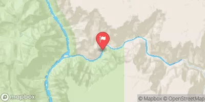
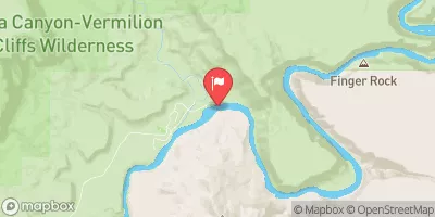
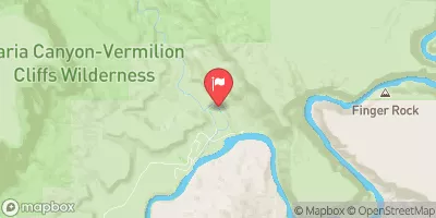
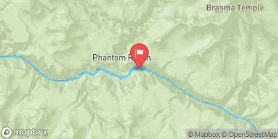
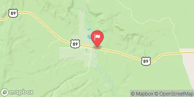
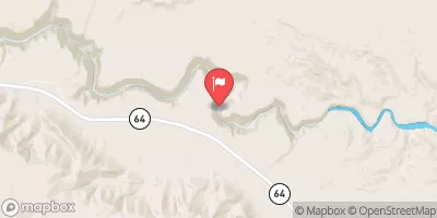
 Begins Just Downstream From South Canyon Creek Confluence To Ends 0.25 Miles Downstream From Beginning
 Lee'S Ferry To Confluence With Nankoweap Creek