Summary
The ideal streamflow range for this segment is between 100 and 300 cubic feet per second (cfs). The river is categorized as Class III, which makes it suitable for intermediate kayakers and rafters. It covers a distance of approximately 7 miles, with obstacles such as boulder gardens, tight chutes, and sharp turns. Some of the notable rapids along the route include Rattlesnake, Wall, and Holes.
The Coronado National Forest has specific regulations in place to protect the area's natural resources and maintain safety for visitors. All individuals embarking on river trips must obtain a permit from the forest service and adhere to the Leave No Trace principles. Additionally, there are restrictions on fires, camping, and the use of motorized vehicles in the area. It is also highly recommended that boaters wear personal flotation devices and take necessary precautions to avoid hazardous situations.
°F
°F
mph
Wind
%
Humidity
15-Day Weather Outlook
River Run Details
| Last Updated | 2026-01-18 |
| River Levels | 0 cfs (7.47 ft) |
| Percent of Normal | 0% |
| Status | |
| Class Level | iii |
| Elevation | ft |
| Streamflow Discharge | cfs |
| Gauge Height | ft |
| Reporting Streamgage | USGS 09472050 |


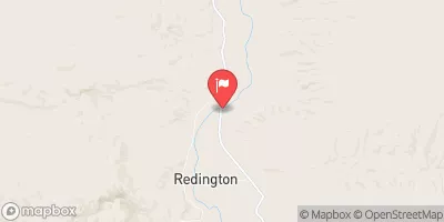
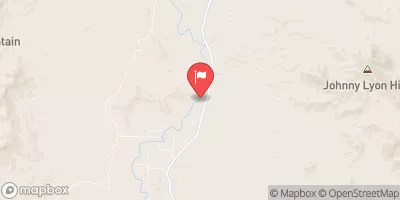
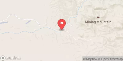
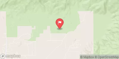
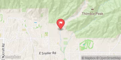
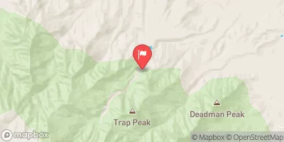
 Headwaters To Coronado National Forest Boundary