Summary
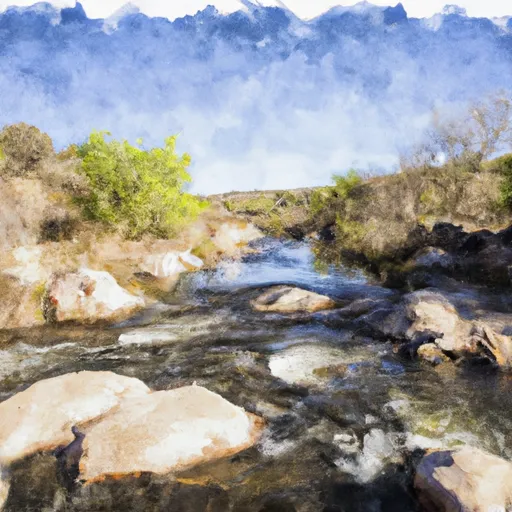
The ideal streamflow range for this section of the river is between 150 and 500 cubic feet per second (cfs). The class rating for this segment is class III/IV, with several challenging rapids, including the Scylla and Charybdis rapids.
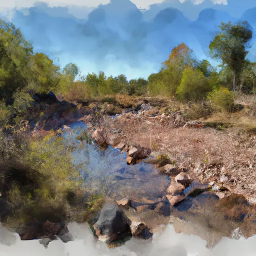
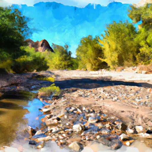
The segment is approximately 8.5 miles long, starting at the wilderness boundary and ending at the Coronado National Forest boundary. Along the way, paddlers will encounter steep drops, narrow chutes, and large boulders that create technical maneuvers.
There are specific regulations to be followed in this area to ensure the safety of paddlers, preserve the natural habitat, and respect the rights of private landowners. For example, paddlers must obtain a permit from the Coronado National Forest Service, carry out all trash, and avoid disturbing wildlife and vegetation.
In conclusion, the Whitewater River Run Wilderness Boundary to Coronado National Forest Boundary in Arizona is a challenging yet rewarding section of the river for experienced paddlers. The ideal streamflow range, class rating, segment mileage, and specific river rapids and obstacles offer a unique and exciting adventure. It is important to follow specific regulations to ensure the safety of everyone involved and preserve the natural beauty of the area.
°F
°F
mph
Wind
%
Humidity
15-Day Weather Outlook
River Run Details
| Last Updated | 2026-02-07 |
| River Levels | 0 cfs (0.04 ft) |
| Percent of Normal | 12% |
| Status | |
| Class Level | iii/iv |
| Elevation | ft |
| Streamflow Discharge | cfs |
| Gauge Height | ft |
| Reporting Streamgage | USGS 09484000 |
5-Day Hourly Forecast Detail
Nearby Streamflow Levels
Area Campgrounds
| Location | Reservations | Toilets |
|---|---|---|
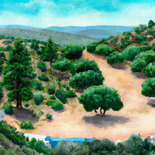 Spencer Canyon Campground
|
||
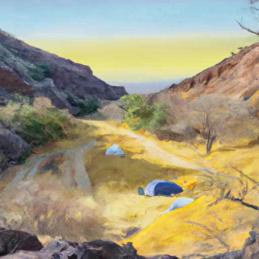 Spencer Canyon
|
||
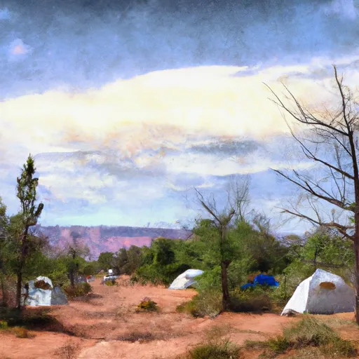 Whitetail Group Site
|
||
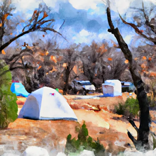 Whitetail Campground
|
||
 Mt. Bigelow Dispersed Camping
|
||
 Showers Point Group Campground
|
River Runs
-
 Wilderness Boundary To Coronado National Forest Boundary
-
 Marshall Gulch Recreation Area To Wilderness Boundary
-
 Headwaters To Pusch Ridge Wilderness Boundary
-
 Headwaters To 1/4 Mile South Of Forest Road 736
-
 1/4 Mile South Of Forest Road 736 To Coronado National Forest Boundary
-
 Pusch Ridge Wilderness Boundary To Confluence With Cañada Del Oro


 Wilderness Pusch Ridge
 Emily Gray Park
 Agua Calienta Regional Park
 Catalina Neighborhood Recreation Center
 Tanque Verde River Park