Summary
The ideal streamflow range for this river run is between 200-500 cubic feet per second (cfs), which usually occurs during the spring runoff season from late March to early May.
The Pinto Creek is classified as a Class III-IV run, which means it is recommended for intermediate to advanced paddlers who have previous whitewater experience. The segment mileage of this river run is approximately 7 miles long, and it offers a variety of exciting rapids and obstacles for paddlers to navigate.
Some of the specific river rapids and obstacles on the Pinto Creek include the "Rock Drop," "Corkscrew," and "S-Turn." These rapids are known for their challenging waves and technical maneuvers, making them a favorite among experienced paddlers.
In terms of regulations, the Pinto Creek is located within the Tonto National Forest, and visitors must obtain a permit to use the area. Additionally, visitors are required to follow Leave No Trace principles, as well as any specific rules and regulations set forth by the forest service.
Overall, the Pinto Creek offers a thrilling whitewater experience for paddlers with previous experience and skill. It is important to check current streamflow conditions and follow all regulations to ensure a safe and enjoyable trip.
°F
°F
mph
Wind
%
Humidity
15-Day Weather Outlook
River Run Details
| Last Updated | 2026-02-07 |
| River Levels | 1 cfs (5.25 ft) |
| Percent of Normal | 42% |
| Status | |
| Class Level | iii-iv |
| Elevation | ft |
| Streamflow Discharge | cfs |
| Gauge Height | ft |
| Reporting Streamgage | USGS 09498501 |
5-Day Hourly Forecast Detail
Nearby Streamflow Levels
Area Campgrounds
| Location | Reservations | Toilets |
|---|---|---|
 Kellner Group Site
|
||
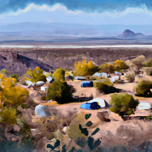 Sulphide Del Rey
|
||
 Sulphide Del Rey Campground
|
||
 Sulphide Del Ray
|
||
 Pinal
Pinal
|
||
 Pinal & Upper Pinal Campgrounds
|


 Pinto Creek