Summary
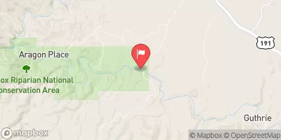
The ideal streamflow range for this run is between 500 and 1,500 cubic feet per second (cfs), with the best season for rafting being from late March to early May. The segment mileage of this river run is 11.8 miles, starting at the Eastern Private Land Boundary in Section 4, T02S, R30E, Gila, and Salt Meridian, and ending at the confluence with Pigeon Creek.
The class rating for the Whitewater River Run ranges from II to IV, with various rapids and obstacles along the way. Some notable rapids include Rock Garden, The Chute, and Box Canyon. Obstacles such as boulder gardens and strainers also exist along the river.
There are specific regulations in place for this area, including a permit requirement for commercial outfitters and a limit on the number of commercial trips per day. Additionally, all users of the river are required to carry a Personal Flotation Device (PFD) and are prohibited from littering or damaging the natural environment.
Overall, the Whitewater River Run offers a thrilling and challenging experience for those seeking a rafting adventure, while also maintaining measures to protect the environment and ensure safety.
°F
°F
mph
Wind
%
Humidity
15-Day Weather Outlook
River Run Details
| Last Updated | 2025-12-01 |
| River Levels | 13 cfs (4.42 ft) |
| Percent of Normal | 1% |
| Status | |
| Class Level | None |
| Elevation | ft |
| Streamflow Discharge | cfs |
| Gauge Height | ft |
| Reporting Streamgage | USGS 09444200 |
5-Day Hourly Forecast Detail
Nearby Streamflow Levels
Area Campgrounds
| Location | Reservations | Toilets |
|---|---|---|
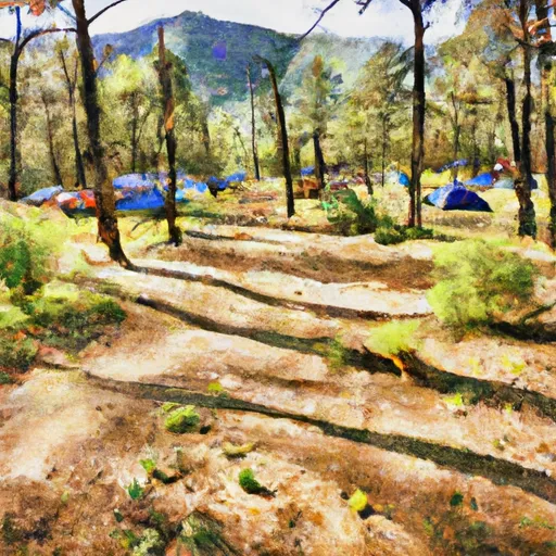 Lower Juan Miller Campground
|
||
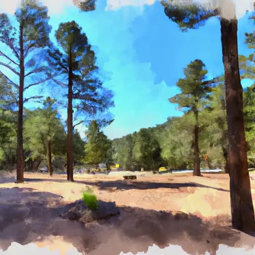 Lower Juan Miller
|
||
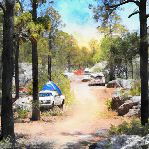 Upper Juan Miller Campground
|
||
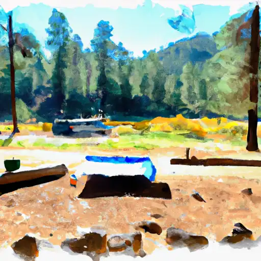 Upper Juan Miller
|
||
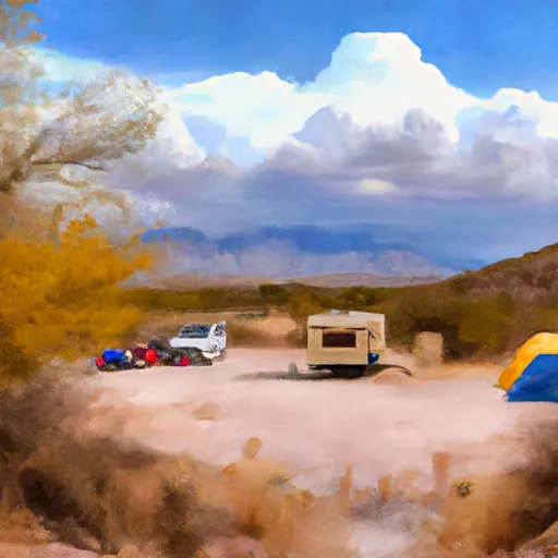 Granville Campground
|
||
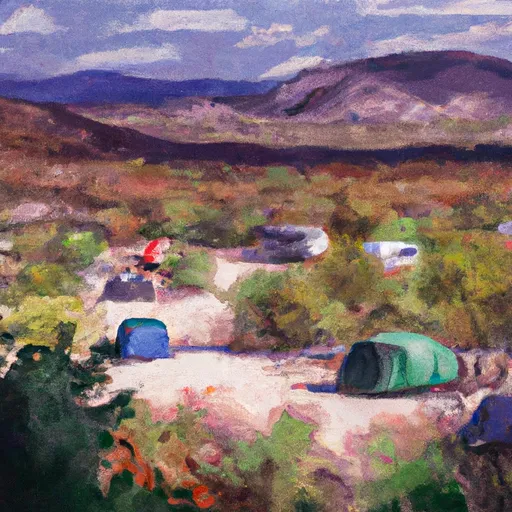 Granville
|
River Runs
-
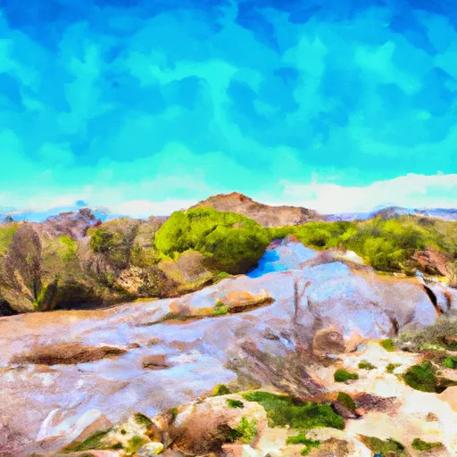 Eastern Private Land Boundary In Section 4, T02S, R30E, Gila And Salt Meridian To Confluence With Pigeon Creek
-
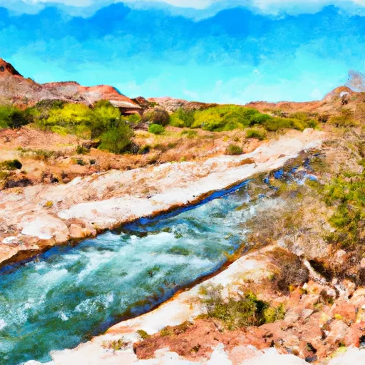 Confluence With Turkey Creek To Confluence With Blue River
-
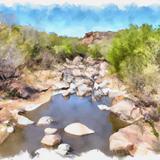 1/2 Mile Below Forest Road 475 To 0.76 Miles Above Confluence With San Francisco River
-
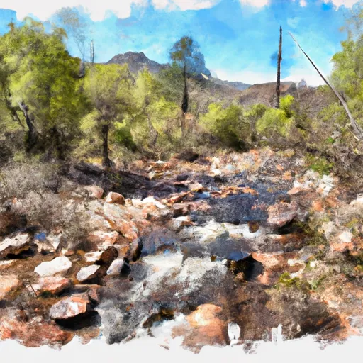 1/4 Mile Above Blue Creek Trailhead To 1/2 Mile Below Forest Road 475
-
 Headwaters To Western Private Land Boundary In Section 4, T02S, R30E, Gila And Salt Meridian
-
 Headwaters To Confluence With Turkey Creek


