Summary
This boat ramp is designed for motorized boats and can accommodate various sizes of watercraft.
The width of the boat ramp is not specified in the available information. However, it is likely to be wide enough to allow motorized boats to launch and retrieve from the water safely.
The Gila River Boat Put In provides access to the Gila River, which is a major waterway in Arizona. The Gila River is a tributary of the Colorado River, and it flows for over 650 miles through New Mexico and Arizona.
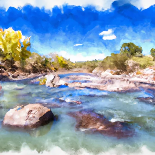
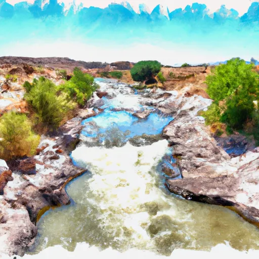
According to the Arizona Game and Fish Department, the Gila River and its tributaries are open to a variety of watercraft, including motorized boats, kayaks, canoes, and paddleboards. However, boaters are advised to exercise caution when navigating the river, as it can be shallow and rocky in some areas.
In conclusion, the Gila River Boat Put In is a concrete boat ramp located in Arizona that provides access to the Gila River. It is designed for motorized boats and can accommodate various sizes of watercraft. The Gila River is open to several types of watercraft, including motorized boats, kayaks, canoes, and paddleboards.
°F
°F
mph
Wind
%
Humidity

 Gila River Boat Put In
 Dry Canyon Boat Take Out
 Gila River (Gila Box)
 Lower San Francisco River