Summary
The ideal streamflow range for this run is between 200 and 500 cfs, and the class rating ranges from II to IV, making it a challenging but manageable trip. The segment mileage is approximately 16 miles, starting in Section 16, T15N, R8E and ending at the Wet Beaver Creek Wilderness Boundary.
There are several notable rapids and obstacles on this run, including the "Elk Rapid" and "Pinball Alley." Elk Rapid is a Class III rapid with several large boulders that must be navigated, while Pinball Alley is a Class IV rapid with several large rocks and a narrow channel that requires precise maneuvering.
There are specific regulations for the area, including a permit system for commercial rafting companies and a requirement for personal flotation devices for all participants. Additionally, motorized watercraft are not allowed on this section of the river.
Overall, the Whitewater River Run is a challenging and exciting trip for experienced rafters and kayakers, with several notable rapids and obstacles to navigate along the way. It is important to follow all regulations and safety guidelines to ensure a safe and enjoyable experience.
°F
°F
mph
Wind
%
Humidity
15-Day Weather Outlook
River Run Details
| Last Updated | 2025-06-28 |
| River Levels | 6 cfs (2.81 ft) |
| Percent of Normal | 107% |
| Status | |
| Class Level | iii-iv |
| Elevation | ft |
| Streamflow Discharge | cfs |
| Gauge Height | ft |
| Reporting Streamgage | USGS 09505200 |


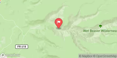
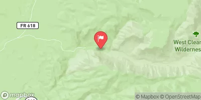
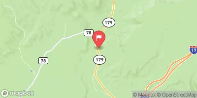

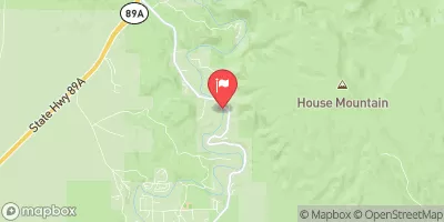
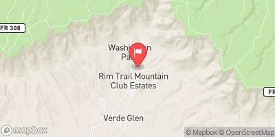
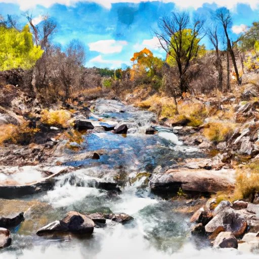 Headwaters In Sec 16, T15N, R8E To Wet Beaver Creek Wilderness Boundary
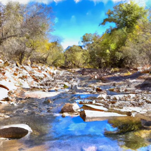 Wet Beaver Creek Wilderness Boundary To Private Land In Sec 32, T15N, R6E