Summary
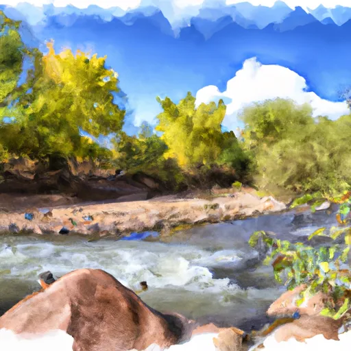
The ideal streamflow range for this river is between 100-300 cfs. The river is classified as Class III-IV, making it a challenging and exciting experience for experienced paddlers. The segment mileage of the river is around 10 miles, with several rapids and obstacles along the way. Some of the notable rapids include the "Jaws" and "Squeeze Play". However, the river also has several calm stretches, making it a great option for recreational paddlers as well.
It's essential to note that the Aravaipa Creek is located within the Aravaipa Canyon Wilderness Area, and specific regulations apply to the area. Paddling is only allowed from November 1st through April 30th, and a permit is required for all visitors. The permit system is in place to limit the number of visitors and ensure the protection of the natural environment. Additionally, visitors are required to pack out all trash and minimize the impact on the area.
°F
°F
mph
Wind
%
Humidity
15-Day Weather Outlook
River Run Details
| Last Updated | 2025-06-28 |
| River Levels | 3 cfs (0.3 ft) |
| Percent of Normal | 0% |
| Status | |
| Class Level | iii-iv |
| Elevation | ft |
| Streamflow Discharge | cfs |
| Gauge Height | ft |
| Reporting Streamgage | USGS 09473000 |
5-Day Hourly Forecast Detail
Nearby Streamflow Levels
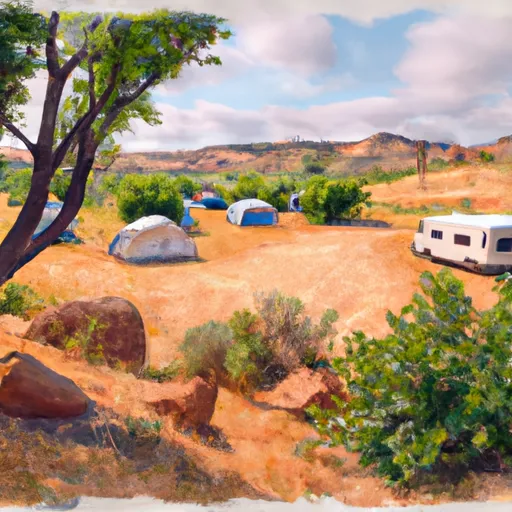
Area Campgrounds
| Location | Reservations | Toilets |
|---|---|---|
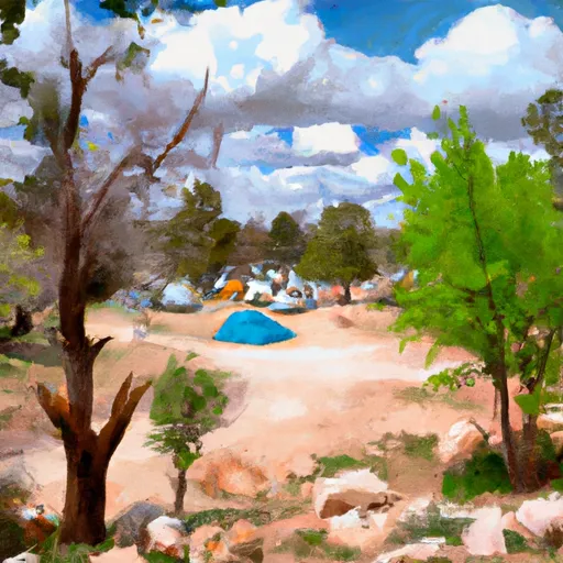 Turkey Creek Camp Sites
|
||
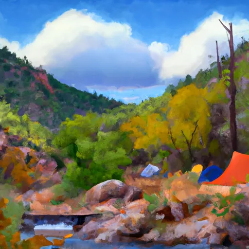 Fourmile Canyon
|
||
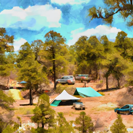 Fourmile Campground
|
||
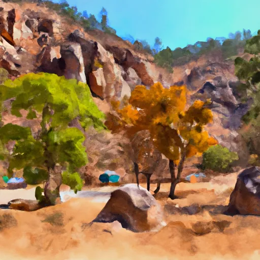 Fourmile Canyon Campground
|
||
 Brandenburg Campground
|


 Aravaipa Creek