Summary
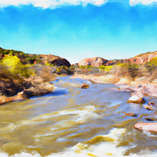
The ideal streamflow range for the Santa Maria River is between 200 and 800 cubic feet per second (cfs). The river has a class rating of III to IV, meaning it has moderate to difficult rapids and requires moderate to advanced skills.
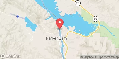
The Santa Maria River has a segment mileage of approximately 10 miles. Some of the specific river rapids and obstacles include the Eye of the Needle, Wall Slammer, and the Screaming Left Turn. These rapids offer exciting challenges for experienced whitewater rafters.
Specific regulations for the area include a permit system through the Bureau of Land Management (BLM) and a limit on the number of daily users. Additionally, all visitors must pack out their trash and follow Leave No Trace principles to protect the natural environment.
°F
°F
mph
Wind
%
Humidity
15-Day Weather Outlook
River Run Details
| Last Updated | 2025-06-06 |
| River Levels | 0 cfs (1.37 ft) |
| Percent of Normal | 0% |
| Status | |
| Class Level | None |
| Elevation | ft |
| Streamflow Discharge | cfs |
| Gauge Height | ft |
| Reporting Streamgage | USGS 09424900 |
5-Day Hourly Forecast Detail
Nearby Streamflow Levels
Area Campgrounds
| Location | Reservations | Toilets |
|---|---|---|
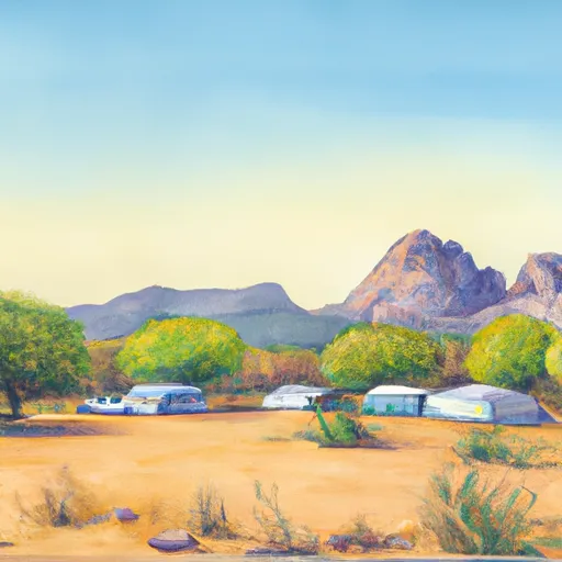 Camp Area E
|
||
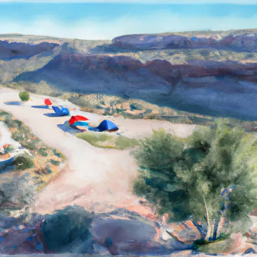 Camp Area C
|
||
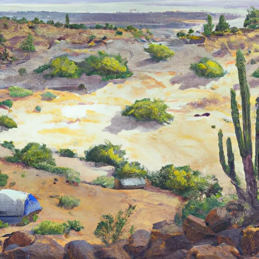 Camp Area D (undeveloped)
|
||
 Group Camp Area
|
||
 Ramada Area
|
||
 Complete Hookups
|


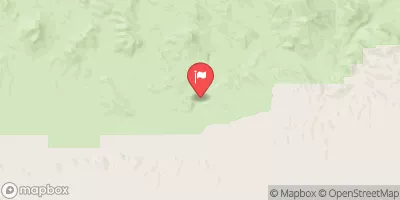
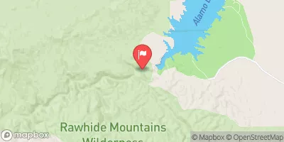
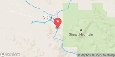
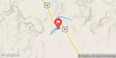
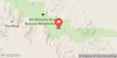
 Santa Maria River
 Bill Williams River