Summary
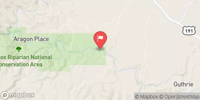
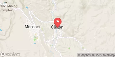
The ideal streamflow range for this river run is between 500-1,500 cubic feet per second (cfs). The Lower San Francisco River is rated as Class III-IV rapids, and the segment mileage is approximately 25 miles, with a total drop in elevation of 1,500 feet.
The river rapids on the Lower San Francisco River include obstacles such as "The Falls," which is a technical drop that requires precise boat maneuvering, and "The Wall," a steep and powerful rapid that requires experienced paddlers. Other notable rapids include "The Slot," "The Squeeze," and "The Zig Zag."
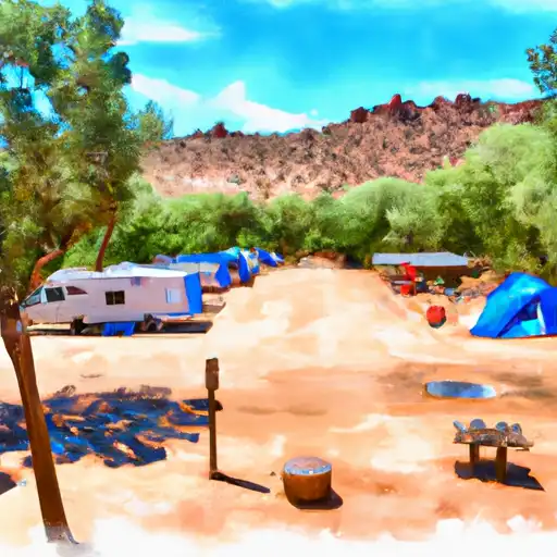
Regulations for the Lower San Francisco River include a permit requirement through the Bureau of Land Management (BLM) for all commercial and private boaters. Additionally, camping is only allowed in designated areas and fires are prohibited. The BLM also advises visitors to bring a throwable personal flotation device, a first aid kit, and other safety equipment.
Overall, the Lower San Francisco River is a challenging and exciting whitewater run for experienced paddlers. Proper preparation and safety precautions are essential for a successful trip on this river.
°F
°F
mph
Wind
%
Humidity
15-Day Weather Outlook
River Run Details
| Last Updated | 2025-06-28 |
| River Levels | 35 cfs (2.22 ft) |
| Percent of Normal | 77% |
| Status | |
| Class Level | iii-iv |
| Elevation | ft |
| Streamflow Discharge | cfs |
| Gauge Height | ft |
| Reporting Streamgage | USGS 09442000 |
5-Day Hourly Forecast Detail
Nearby Streamflow Levels
Area Campgrounds
| Location | Reservations | Toilets |
|---|---|---|
 Owl Creek
|
||
 Owl Creek Campground
|
||
 Riverview Campground
|
||
 Riverview
|


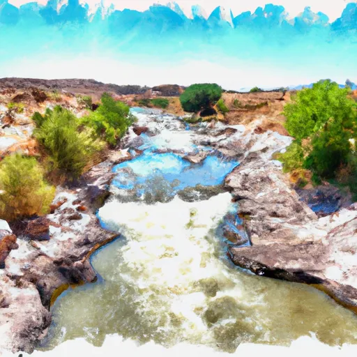 Lower San Francisco River
 Gila River (Gila Box)
 Bonita Creek