Summary
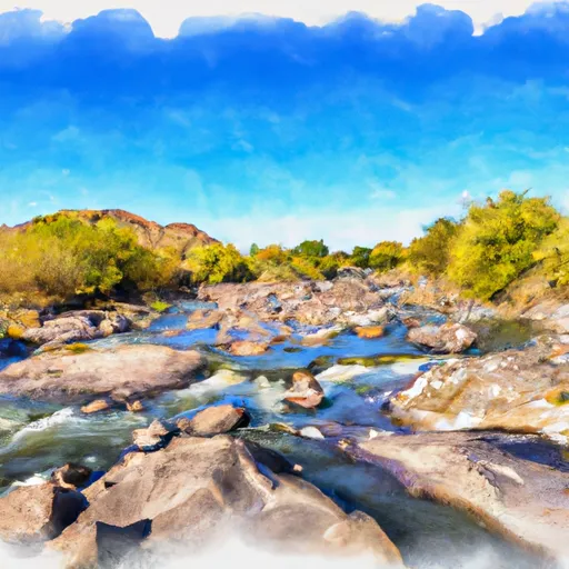
The ideal streamflow range for this river is between 500 and 1,000 cfs, which occurs during the spring runoff season from March to May. The river is rated as Class III to IV, with numerous rapids and obstacles throughout the 24-mile segment. Some of the most notable rapids include the Three Way, the Box Drop, and the Corkscrew.
There are specific regulations for the Gila River (Middle) that visitors must follow. Permits are required for all river trips, and are distributed through the Bureau of Land Management. Visitors must also pack out all trash and human waste, and are prohibited from camping within 200 feet of the river. In addition, motorized watercraft are not allowed on the Gila River (Middle).
Overall, the Gila River (Middle) offers a challenging and exciting whitewater experience for those with the skills and experience to navigate its rapids and obstacles. It is important to follow all regulations and safety guidelines to ensure a safe and enjoyable trip.
°F
°F
mph
Wind
%
Humidity
15-Day Weather Outlook
River Run Details
| Last Updated | 2025-06-28 |
| River Levels | 645 cfs (7.98 ft) |
| Percent of Normal | 117% |
| Status | |
| Class Level | iii |
| Elevation | ft |
| Streamflow Discharge | cfs |
| Gauge Height | ft |
| Reporting Streamgage | USGS 09474000 |
5-Day Hourly Forecast Detail
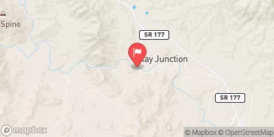
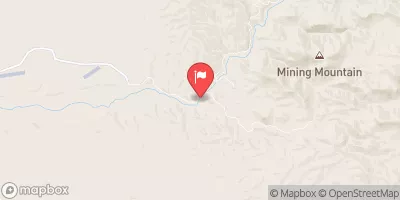
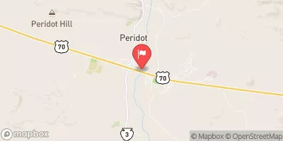
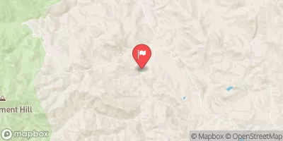
Nearby Streamflow Levels
Area Campgrounds
| Location | Reservations | Toilets |
|---|---|---|
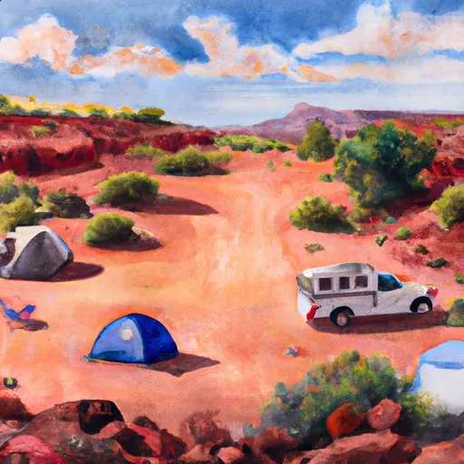 Christmas
|
||
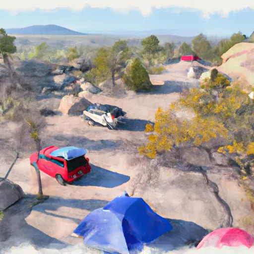 Christmas Recreation Site
|
||
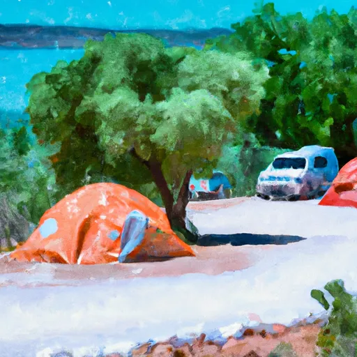 The Shores Recreation Site
|
||
 Shores
|


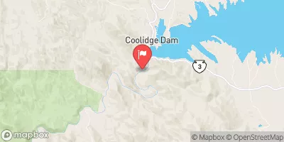
 Gila River (Middle)