Summary
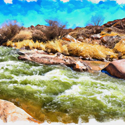
The ideal streamflow range for the Babocomari River is between 200-400 cfs, which provides Class II and III rapids suitable for intermediate-level kayakers and rafters. The river is approximately 20 miles long and is segmented into three sections: Upper, Middle and Lower. The Upper section is the most challenging, with Class III rapids and a 2.5 mile stretch of continuous whitewater. The Middle section is less challenging, with Class II and III rapids, and the Lower section is the easiest, with Class I and II rapids.
The river features several significant rapids and obstacles, including "Babo Falls," a Class III drop located in the Upper section. "Babo Rock Garden" is another Class III rapid that requires precise navigation through a tight channel. The river also features several Class II rapids, such as "Maverick" and "No Name."
There are specific regulations to the area that visitors should be aware of. The Babocomari River is located on private land, and visitors must obtain permission from the landowner before accessing the river. Additionally, visitors should practice Leave No Trace principles to minimize impact on the natural environment. Finally, all visitors should wear appropriate safety gear, including helmets and personal flotation devices, and should have experience navigating Class II and III rapids.
°F
°F
mph
Wind
%
Humidity
15-Day Weather Outlook
River Run Details
| Last Updated | 2025-06-28 |
| River Levels | 0 cfs (0.22 ft) |
| Percent of Normal | 7% |
| Status | |
| Class Level | ii-iii |
| Elevation | ft |
| Streamflow Discharge | cfs |
| Gauge Height | ft |
| Reporting Streamgage | USGS 09471400 |


 Babocomari River