Summary
The river run is rated as a Class III-IV and is best suited for intermediate and experienced paddlers. The river's obstacles include rapids, rocks, and narrow channels that require precise maneuvering. The best time to float this section of the water is from April to June, with a recommended water flow of 800-2500 CFS. The run offers breathtaking views of the canyon and wildlife sightings. Overall, the Hell's Gate Canyon River Run is an excellent choice for adventurous paddlers seeking an adrenaline rush.
°F
°F
mph
Wind
%
Humidity
15-Day Weather Outlook
River Run Details
| Last Updated | 2023-06-13 |
| River Levels | 15 cfs (3.27 ft) |
| Percent of Normal | 303% |
| Optimal Range | 300-2000 cfs |
| Status | Too Low |
| Class Level | V |
| Elevation | 2,523 ft |
| Run Length | 23.0 Mi |
| Gradient | 150 FPM |
| Streamflow Discharge | 132 cfs |
| Gauge Height | 2.7 ft |
| Reporting Streamgage | USGS 09499000 |
5-Day Hourly Forecast Detail
Nearby Streamflow Levels
Area Campgrounds
| Location | Reservations | Toilets |
|---|---|---|
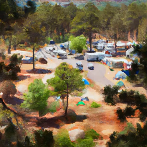 Payson Campground & RV Resort
|
||
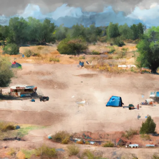 Houston Mesa Campground and Equestrian Sites
|
||
 Houston Mesa Campground
|
||
 Houston Mesa
|


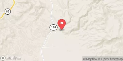
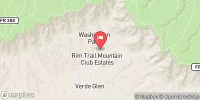
 Hell's Gate Canyon
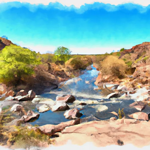 Confluence With Cocomunga Creek To Confluence With Gun Creek
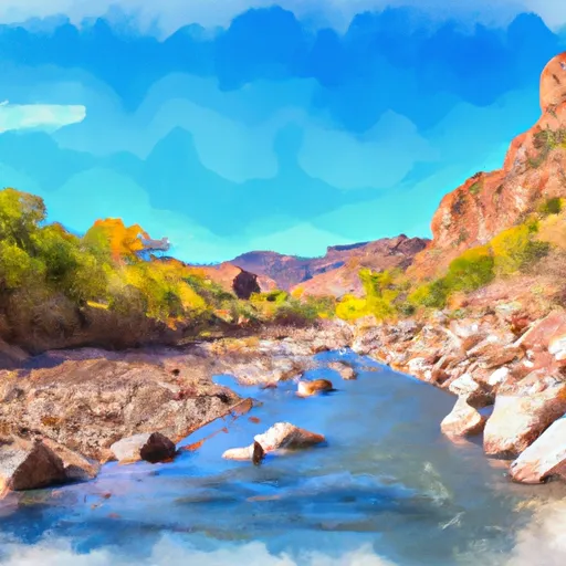 Hellsgate Wilderness Boundary To Confluence With Tonto Creek