None
Expect south to southwesterly winds around 10 to 20 mph by Thursday afternoon with some gusts in excess of 30 mph at times. Very dry air will be located over the area with minimum afternoon RH values between 15 to 30 percent. This will make it possible for wildfires to ignite and spread rapidly. Outdoor burning is not recommended. If a wildfire is observed, report it by dialing 911 or by contacting the Arkansas Forestry Division at (800) 468-8834.
Summary
The ideal streamflow range for this section is between 350 and 700 cfs. It is rated as Class II-III, making it suitable for intermediate paddlers. The segment mileage is around 7 miles, starting from the headwaters and ending at the National Forest boundary.
There are several rapids and obstacles along the way, including Suckhole, Cat Rock, and the Narrows. The Suckhole is a particularly challenging rapid that requires precise maneuvering to avoid getting sucked into a hydraulic. Cat Rock is another notable feature of the run, which requires boaters to navigate sharp turns while avoiding rocks.
There are specific regulations that apply to this area, including a limit of one watercraft per person, per trip. Additionally, all watercraft must be registered with the Arkansas Game and Fish Commission. It is also important to note that the run is only open during certain times of the year, typically from March to June.
Overall, the Whitewater River Run Headwaters in Sec 8, T1S, R31W to NF Boundary at Acorn, AR is a thrilling and challenging whitewater run that is suitable for intermediate paddlers. With its rapids, obstacles, and specific regulations, it offers a unique and exciting experience for anyone looking to explore the Arkansas wilderness.
°F
°F
mph
Wind
%
Humidity
15-Day Weather Outlook
River Run Details
| Last Updated | 2026-02-07 |
| River Levels | 19 cfs (4.34 ft) |
| Percent of Normal | 48% |
| Status | |
| Class Level | ii-iii |
| Elevation | ft |
| Streamflow Discharge | cfs |
| Gauge Height | ft |
| Reporting Streamgage | USGS 07247000 |
5-Day Hourly Forecast Detail
Nearby Streamflow Levels
 Black Fork Below Big Creek Nr Page
|
58cfs |
 Poteau River At Cauthron
|
222cfs |
 Cossatot River Near Vandervoort
|
121cfs |
 Poteau River At Loving
|
273cfs |
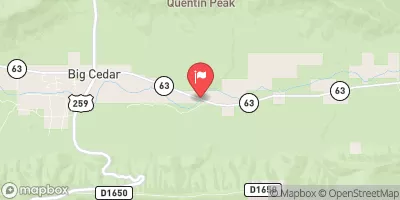 Kiamichi River Near Big Cedar
|
87cfs |
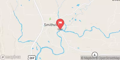 Mountain Fork At Smithville
|
216cfs |


 Headwaters In Sec 8, T1S, R31W To Nf Boundary At Acorn, Ar
 Lee McMillan Memorial Park
 Queen Wilhelmina State Park
 Black Fork Mountain Wilderness
 Iron Mountain Natural Area Wildlife Management Area