Summary
The ideal streamflow range for this section is between 100 and 800 cubic feet per second (cfs). The class rating for this section is Class II-III, which means it has moderate to high difficulty rapids with waves up to four feet high and narrow channels with rocks and obstacles that require skilled maneuvering. The segment mileage for this section is around 13 miles.
Specific river rapids and obstacles on this section include the "The Chute," which is a Class III rapid with a narrow channel and large boulders. Other rapids include "Barker's Bluff," "Jaws," and "The Slide."
There are specific regulations for this area that should be followed to ensure safety and preservation of the environment. All boats must have a personal flotation device for each person on board, and all paddlers must wear a helmet. The use of glass containers is prohibited, and all trash must be packed out. Additionally, there are restrictions on camping, fires, and hunting in the area.
Overall, the Whitewater River Run on Highway 298 Bridge near Sims, AR to Slackwater of Lake Ouachita is a challenging and exciting section of river for experienced whitewater paddlers with proper equipment and training. It is important to always be aware of the ideal streamflow range, class rating, and specific regulations in order to have a safe and enjoyable experience.
°F
°F
mph
Wind
%
Humidity
15-Day Weather Outlook
River Run Details
| Last Updated | 2026-02-07 |
| River Levels | 210 cfs (3.09 ft) |
| Percent of Normal | 85% |
| Status | |
| Class Level | ii-iii |
| Elevation | ft |
| Streamflow Discharge | cfs |
| Gauge Height | ft |
| Reporting Streamgage | USGS 07356000 |
5-Day Hourly Forecast Detail
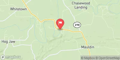
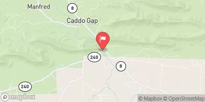
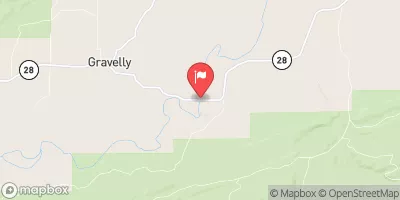
Nearby Streamflow Levels
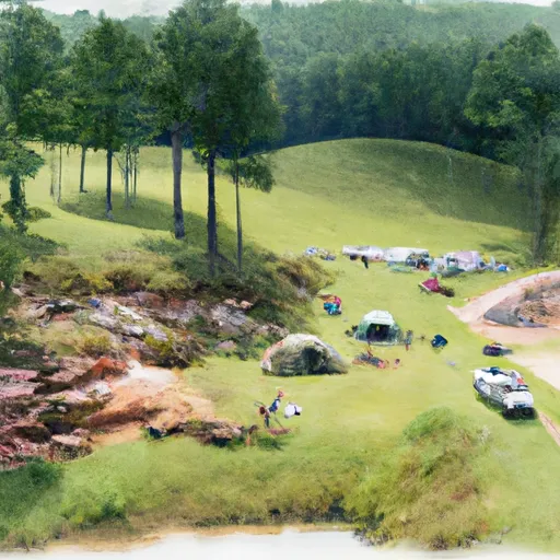
Area Campgrounds
| Location | Reservations | Toilets |
|---|---|---|
 Highway 27 - Lake Ouachita
|
||
 Washita - Lake Ouachita
|
||
 High Shoals Cabins
|
||
 Little Fir - Lake Ouachita
|
||
 River Bluff
|
||
 Dragover
|



 Highway 298 Bridge Near Sims, Ar To Slackwater Of Lake Ouachita
 Rocky Shoals Day Use
 Lake Ouachita
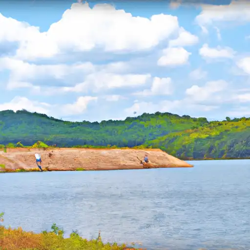 Camp Clear Fork Reservoir
 Clearfork