Arkansas Points of Interest

Upper Buffalo Wilderness Area


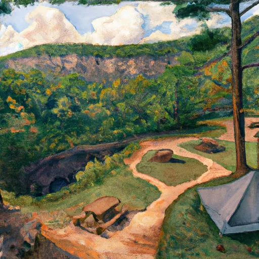
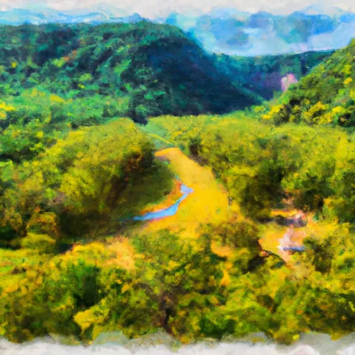
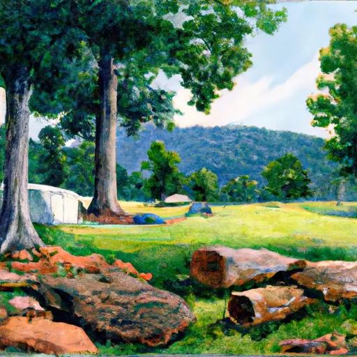
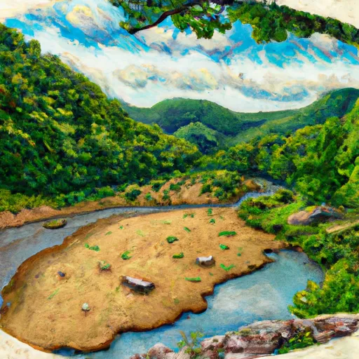
The main section of the Upper Buffalo Wilderness was designated in 1974 with additional acreages created by the 1984 Arkansas Wilderness Act totaling approximately 12.000 acres. This is one of the 3 wildernesses on the Buffalo Ranger District. The forest cover is mostly second and third growth oak-hickory. Some scattered stands of shortleaf pine in old fields still exist from when the Forest Service purchased the land in the 1930s and 1940s. The route to Hawksbill Crag is the only designated hiking trail located in the wilderness. The trail is developed but unmarked. A system of old lodging roads that runs throughout the area provides and informal network of trails for hiking and horseback rising. There are four developed access points to reach the Upper Buffalo Wilderness : Hawksbill Crag, Kapark Cemetery, Dahl Memorial, and Boen Gulf. Point of interest- Hawksbill Crag Rock Formation.


UPPER BUFFALO WILDERNESS AREA

Points of Interest
Location
Brantley House Ruin
Buffalo Point Visitor Contact Station
Bundy House
Collier Homestead Barn
Collier Homestead Cistern
Collier Homestead House
Collier Homestead Smokehouse
Erbie Church
Hicks Hotel
Hicks Store
James A. Villines (Beaver Jim) Barn
James A. Villines (Beaver Jim) Chicken House
James A. Villines (Beaver Jim) Corn Crib
James A. Villines (Beaver Jim) Fruit Cellar
James A. Villines (Beaver Jim) House
James A. Villines (Beaver Jim) Smokehouse
James A. Villines (Beaver Jim) WPA Outhouse
Kastning House
Leatherwood Wilderness
Morning Star Mill Ruins
New White Eagle Mill Ruins
Old White Eagle Mill Ruins
Parker-Hickman Board Barn
Parker-Hickman Chicken House
Parker-Hickman Corn Crib
Parker-Hickman House
Parker-Hickman Log Barn
Parker-Hickman Machine Shed
Parker-Hickman Smokehouse
Parker-Hickman WPA Outhouse
Rabey House Ruins
Richland Creek Wilderness
Rush Ghost Town
Rush Smelter
Storekeeper's House
Taylor-Medley General Store
Tyler Bend Visitor Center
Upper Buffalo Wilderness Area
Warehouse Ruins
Washhouse
William Villines Corn Crib
William Villines Harness Shed
William Villines Log Barn/House

Nearby Camping
Location Campsites Reservations Toilets Showers Elevation
Spadra - Lake Dardanelle Numerous 360 ft
Indian Point - Table Rock Lake Numerous 1,040 ft
Viola - Table Rock Lake Numerous 1,017 ft
Little Fir - Lake Ouachita 29 602 ft
Harry S Truman State Park Numerous 864 ft
Piney Bay - Lake Dardanelle Numerous 365 ft
Osage Bluff - Harry S. Truman Lake Numerous 807 ft
Cape Fair - Table Rock Lake Numerous 966 ft
Weaubleau City Park Numerous 988 ft
Spring Lake 53 522 ft
Wheatland - Pomme de Terre Lake Numerous 905 ft
Outlet Area - Pomme de Terre Lake Numerous 776 ft
Shoal Bay - Lake Dardanelle Numerous 375 ft
Joplin - Lake Ouachita 64 592 ft
Big Bay - Table Rock Lake 61 1,022 ft
Cane Creek - Lake Dardanelle 16 344 ft
Old Highway 86 - Table Rock Lake Numerous 914 ft
Berry Bend - Harry S. Truman Lake Numerous 850 ft
Bucksaw - Harry S. Truman Lake Numerous 738 ft
Highway 27 - Lake Ouachita Numerous 593 ft
Long Shoal - Harry S. Truman Lake Numerous 783 ft
Baxter - Table Rock Lake Numerous 941 ft
Shawnee Bend - Harry S Truman Lake Numerous 772 ft
Campbell Point - Table Rock Lake Numerous 999 ft
Irons Fork - Lake Ouachita 12 586 ft
Denby Point - Lake Ouachita 67 655 ft
Pomme de Terre State Park Numerous 923 ft
Berryville RV Park 18 1,169 ft
Joe Bald - Table Rock Lake Numerous 948 ft
Charlton 58 725 ft
Aunts Creek - Table Rock Lake Numerous 998 ft
Avant - Lake Ouachita 25 589 ft
Steel Creek - Buffalo National River Numerous 977 ft
Washita - Lake Ouachita Numerous 600 ft
Lightfoot Landing - Pomme de Terre Lake Numerous 870 ft
Ozone 28 1,825 ft
Big Fir 50 617 ft
Twin Creek - Lake Ouachita 15 590 ft
Rabbit Tail - Lake Ouachita Numerous 652 ft
Crystal Springs - Lake Ouachita 74 623 ft
Tompkins Bend - Lake Ouachita 77 603 ft
Buckville - Lake Ouachita Numerous 610 ft
Lost Valley - Buffalo National River Numerous 1,096 ft
Mill Creek - Table Rock Lake Numerous 950 ft

Nearby Streamflow Levels

Gauge Streamflow
Turnback Creek Above Greenfield
USGS 06918460
2,240 cfs
South Fork Dry Sac River Near Springfield
USGS 06918493
460 cfs
Sac River Near Dadeville
USGS 06918440
2,120 cfs
Bull Creek Near Walnut Shade
USGS 07053810
7,160 cfs
Beaver Creek At Bradleyville
USGS 07054080
15,800 cfs
Little Sac River Near Morrisville
USGS 06918740
4,770 cfs
James River At Galena
USGS 07052500
10,200 cfs
Snotel Site Snowpack 24hr Change