Summary
The ideal streamflow range for this section of the river ranges from 800 to 2000 cfs, which offers a thrilling experience for rafters and kayakers alike.
The class rating of this section of the river is class III-IV, with rapids ranging from technical to powerful. The segment mileage is approximately 8 miles, making it a great half-day trip for experienced paddlers.
There are several specific rapids and obstacles on this section of the river, including the infamous "Corkscrew" rapid and "Pinball" rapid. These rapids require technical paddling skills and a strong understanding of river safety.
Specific regulations for this area include a permit and fee system for commercial outfitters, as well as a requirement for all boaters to wear a personal flotation device and carry a whistle. Additionally, there are restrictions on campfires and camping along the river.
Overall, the Whitewater River run from Sally's Camp to Confluence with Willow Creek is a must-visit for experienced whitewater paddlers seeking a challenging and thrilling adventure. However, it is important to prioritize safety and follow all regulations to ensure a safe and enjoyable trip.
°F
°F
mph
Wind
%
Humidity
15-Day Weather Outlook
River Run Details
| Last Updated | 2026-02-07 |
| River Levels | 406 cfs (3.96 ft) |
| Percent of Normal | 27% |
| Status | |
| Class Level | iii-iv |
| Elevation | ft |
| Streamflow Discharge | cfs |
| Gauge Height | ft |
| Reporting Streamgage | USGS 11348500 |
5-Day Hourly Forecast Detail
Nearby Streamflow Levels
 Pit R Nr Canby Ca
|
150cfs |
 Sf Pit R Nr Likely Ca
|
10cfs |
 Klamath Straits Drain Near Worden
|
128cfs |
 Ady Canal At Highway 97
|
6cfs |
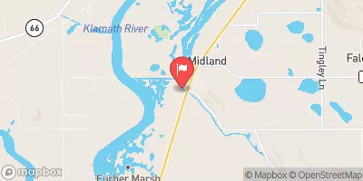 North Canal At Highway 97
|
2cfs |
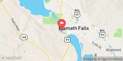 Link River At Klamath Falls
|
2830cfs |
Area Campgrounds
| Location | Reservations | Toilets |
|---|---|---|
 Reservoir C Campground
|
||
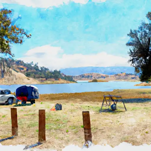 Reservoir C
|
||
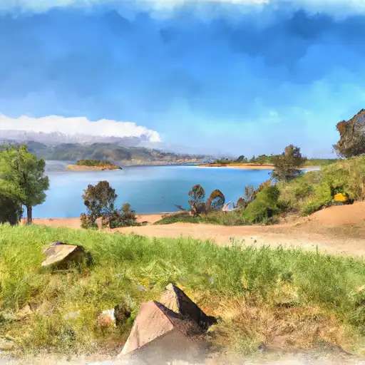 Reservoir F
|
||
 Reservoir F Campground
|
||
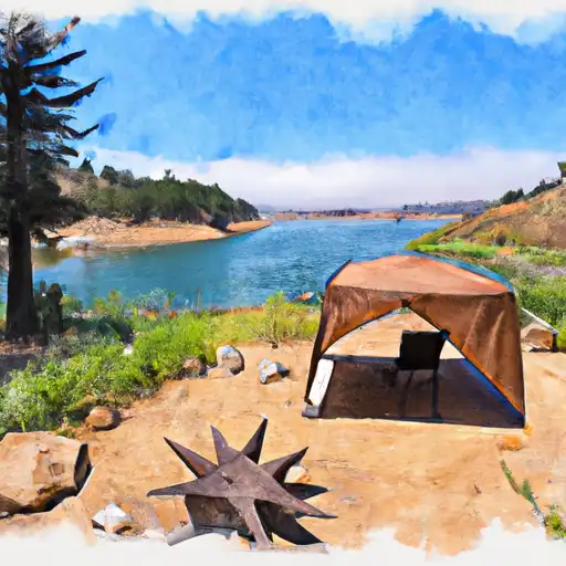 Janes Reservoir
|
||
 Jane's Reservoir Campground
|


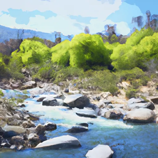 Sally'S Camp To Confluence With Willow Creek
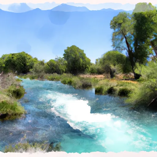 Wilcox Spring To Clear Lake National Wildlife Refuge Boundary