Summary
The ideal streamflow range for this run is between 400-800 cfs, according to American Whitewater. This run is classified as a Class III-IV, making it suitable for intermediate to advanced paddlers.
This segment covers 6.5 miles and features some notable rapids and obstacles, including the White Horse Rapids and the Class IV Virginia Creek Falls. Paddlers should also be aware of the steep drops and narrow chutes throughout the run, which can add to the challenge and excitement of the experience.
The area is subject to specific regulations, including a permit requirement for overnight camping in the Inyo National Forest. Additionally, paddlers should be aware of potential hazards, including downed trees and rocks, and should exercise caution when navigating the river. Overall, the Whitewater River Run offers a challenging and exciting experience for experienced paddlers, and is a popular destination in California for whitewater enthusiasts.
°F
°F
mph
Wind
%
Humidity
15-Day Weather Outlook
River Run Details
| Last Updated | 2026-02-07 |
| River Levels | 235 cfs (2.76 ft) |
| Percent of Normal | 83% |
| Status | |
| Class Level | iii-iv |
| Elevation | ft |
| Streamflow Discharge | cfs |
| Gauge Height | ft |
| Reporting Streamgage | USGS 10289500 |
5-Day Hourly Forecast Detail
Nearby Streamflow Levels
Area Campgrounds
| Location | Reservations | Toilets |
|---|---|---|
 Junction Campground
|
||
 Junction
|
||
 Ellery Lake Campground
|
||
 Ellery
|
||
 Tioga Lake Campground
|
||
 Tioga Lake
|


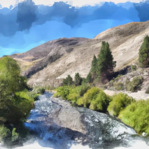 Saddlebag Lake Rna Boundary To State Highway 120
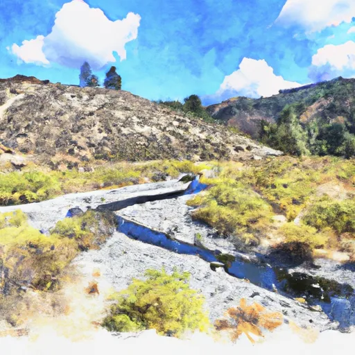 Headwaters Tributaries To Research Natural Area Boundary
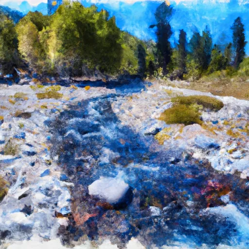 Headwaters To Wilderness Boundary
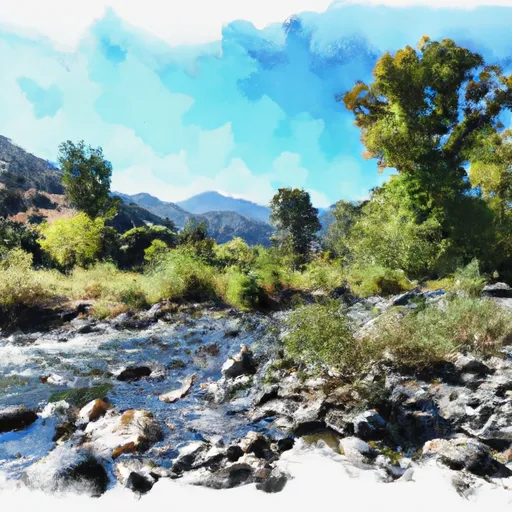 Wilderness Boundary To Private Property
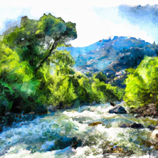 Wilderness Boundary To Confluence With Mill Creek
 Alpine Lake
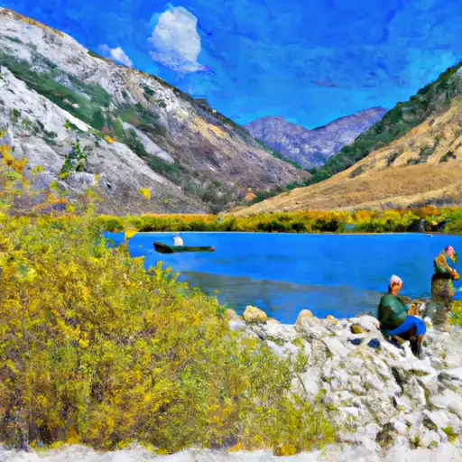 Lundy Lake
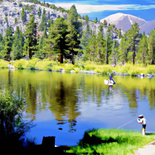 Virginia Lakes
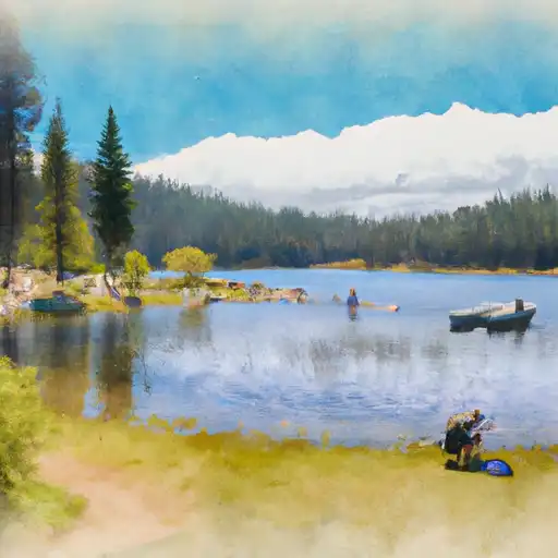 Evelyn Lake
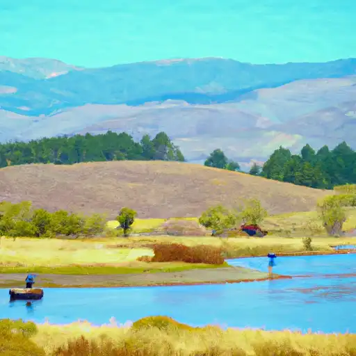 Grant Lake