None
ESFMFR A moderate atmospheric river will likely bring periods of moderate to heavy rainfall later this weekend into early next week. The first frontal system is forecast to arrive late Saturday night into Sunday with multiple waves of precipitation continuing Sunday night through Tuesday morning. Preliminary estimates are showing widespread amounts of 4 to 6 inches along the coast with locally 8 inches in the favored coast ranges of Curry County. Amounts of 3 to 5 inches are possible in the Mount Shasta region and also other favored areas of western Siskiyou County. Small streams and creeks are likely to rise rapidly during this event with nuisance flooding and ponding of water on roadways during periods of heavy rain. Significant rises on main stem rivers and flashier creeks are also expected. Given that rivers are still running fairly low for this time of year, river flooding potential is a bit lower than usual, but there is at least a low probability of some flooding, especially in the Coquille Basin. While the exact scenario for the heavy rainfall and potential flooding remains uncertain, we will continue to monitor the forecasts and update accordingly. Flood Watches may be issued by the National Weather Service if this situation worsens
Summary
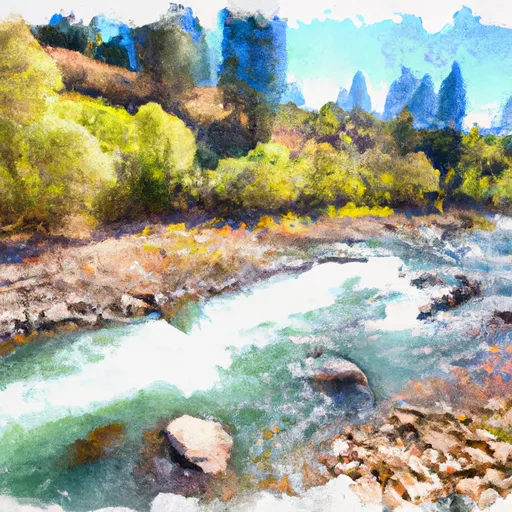
The Whitewater River Run Confluence with Sixmile Creek to Confluence with South Fork Salmon River is a popular destination for whitewater enthusiasts in California. The ideal streamflow range for this segment is between 800 and 2500 cfs, depending on the skill level of the paddlers. The class rating for this run is class IV-V, making it suitable for experienced paddlers only.
The segment mileage for this run is approximately 16 miles, and it is known for its challenging rapids and obstacles, such as Devil's Teeth, which is a steep drop with a narrow chute that requires precise navigation. Other notable rapids include Sixmile Rapid and Parallel Parking.
There are specific regulations that apply to this area, including a requirement for all paddlers to wear a personal flotation device (PFD) at all times while on the river. Additionally, there are restrictions on camping and fires in the area, so visitors should check with the local authorities before planning a trip.
In conclusion, the Whitewater River Run Confluence with Sixmile Creek to Confluence with South Fork Salmon River is a challenging and exciting destination for experienced whitewater paddlers in California. With its ideal streamflow range, class IV-V rating, and impressive rapids and obstacles, this segment offers a thrilling adventure for those who are up for the challenge. Visitors should be aware of specific regulations and restrictions in the area to ensure a safe and enjoyable experience.
°F
°F
mph
Wind
%
Humidity
15-Day Weather Outlook
River Run Details
| Last Updated | 2026-02-07 |
| River Levels | 1180 cfs (5.69 ft) |
| Percent of Normal | 35% |
| Status | |
| Class Level | iv-v |
| Elevation | ft |
| Streamflow Discharge | cfs |
| Gauge Height | ft |
| Reporting Streamgage | USGS 11523200 |
5-Day Hourly Forecast Detail
Nearby Streamflow Levels
 Trinity R Ab Coffee C Nr Trinity Ctr Ca
|
256cfs |
 Salmon R A Somes Bar Ca
|
1060cfs |
 Klamath R A Orleans
|
4720cfs |
 Nf Trinity R A Helena Ca
|
47cfs |
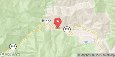 Trinity R Ab Nf Trinity R Nr Helena Ca
|
999cfs |
 Trinity R A Junction City Ca
|
828cfs |
Area Campgrounds
| Location | Reservations | Toilets |
|---|---|---|
 Eastfork
|
||
 Shadow Creek Campground
|
||
 Shadow Creek
|
||
 Matthews
|
||
 Matthews Creek Campground
|
||
 Trail Creek Campground
|
River Runs
-
 Confluence With Sixmile Creek To Confluence With South Fork Salmon River
-
 Confluence With Blind Horse Creek To Cecilville Bridge
-
 Scott District Boundary To Confluence With Sixmile Creek
-
 Confluence Of Tributaries In Sec 6 Near Black Mtn. To Confluence With Blind Horse Creek
-
 Headwaters In Sw 1/4, Sec 24, T8N, R12W To Trinity Wsr (At Hobo Gulch Trailhead And Campground)
-
 Headwaters In Russian Wilderness To Wilderness Boundary


 Matthews Creek River Access