Summary
The ideal streamflow range for this river is between 300-700 cfs, which provides Class III and IV rapids. The river is divided into three segments, with the first segment covering 3.5 miles, the second segment covering 5.5 miles, and the third segment covering 11.2 miles.
The first segment of the Whitewater River has mostly Class I and II rapids, but it also has a Class III rapid called "Headache." The second segment has Class III and IV rapids, with "Frogman's Grotto" being the most challenging rapid. The third segment has a mix of Class II, III, and IV rapids, with "Staircase" and "Triple Threat" being the most challenging.
The Whitewater River has several obstacles that kayakers and rafters must navigate, such as boulders, fallen trees, and tight chutes. It is important to note that the river is regulated, and all visitors must follow specific regulations, such as wearing a personal flotation device and having a permit to use the river.
Overall, the Whitewater River provides a thrilling and challenging experience for kayakers and rafters, with its Class III and IV rapids and various obstacles. It is essential to check the streamflow range before entering the river and to follow all regulations to ensure a safe and enjoyable experience.
°F
°F
mph
Wind
%
Humidity
15-Day Weather Outlook
River Run Details
| Last Updated | 2026-02-07 |
| River Levels | 98 cfs (3.95 ft) |
| Percent of Normal | 67% |
| Status | |
| Class Level | iii-ii |
| Elevation | ft |
| Streamflow Discharge | cfs |
| Gauge Height | ft |
| Reporting Streamgage | USGS 11200800 |
5-Day Hourly Forecast Detail
Nearby Streamflow Levels
Area Campgrounds
| Location | Reservations | Toilets |
|---|---|---|
 Kern River Camp Ground. Bakersfield
|
||
 Camp Okihi. Bakersfield
|
||
 Oak Flat Lookout/cabin
|
||
 Kern River Park
|
||
 Breckenridge
|
||
 Breckenridge Campground
|


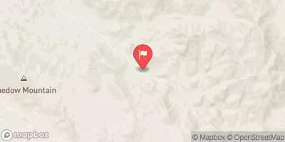
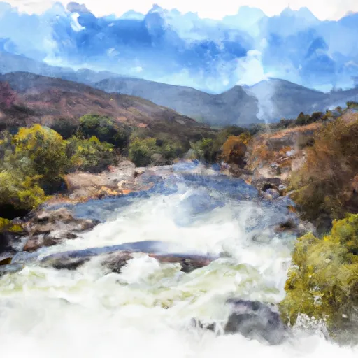 20.2 Miles Downstream Of Isabella Dam To Western Nf Boundary
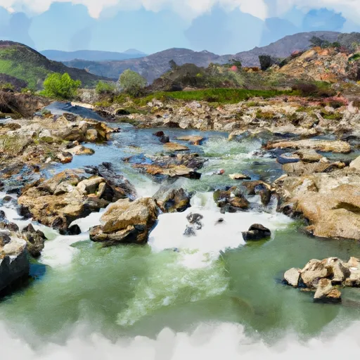 7 Miles From Isabella Dam To 20.2 Miles From Isabella Dam
 Kern River County Park
 Marin Sports Complex
 Orangewood Park
 Siemon Park
 Potomac Park