2026-02-20T09:00:00-08:00
* WHAT...While snow showers end this morning, strong winds will continue to produce blowing snow and reduced visibility. And roads will be icy. Winds gusting as high as 55 mph. * WHERE...San Bernardino County Mountains. * WHEN...Until 9 AM PST this morning. * IMPACTS...Plan on slippery road conditions. The hazardous conditions could impact the Friday morning commute. Strong winds could cause tree damage.
Summary
The ideal streamflow range (cfs) for this river run is between 400 and 800 cubic feet per second. The segment mileage of this run is approximately 20 miles.
This river run is known for its advanced rapids, including Devil's Toilet Bowl, Suicide Falls, and Pinball Rapid. These rapids require advanced paddling skills and knowledge of navigating technical maneuvers. Additionally, there are several other rapids and obstacles on this river run that require expert-level kayaking or rafting skills.
There are specific regulations that apply to the Whitewater River Run. It is recommended that all paddlers wear personal flotation devices (PFDs) and helmets. Additionally, all paddlers must adhere to Leave No Trace principles and pack out all trash and waste. This river run is located on public lands, and permits may be required for overnight camping or use of certain areas.
°F
°F
mph
Wind
%
Humidity
15-Day Weather Outlook
River Run Details
| Last Updated | 2026-02-07 |
| River Levels | 69 cfs (7.58 ft) |
| Percent of Normal | 121% |
| Status | |
| Class Level | iv-v |
| Elevation | ft |
| Streamflow Discharge | cfs |
| Gauge Height | ft |
| Reporting Streamgage | USGS 11051499 |
5-Day Hourly Forecast Detail
Nearby Streamflow Levels
Area Campgrounds
| Location | Reservations | Toilets |
|---|---|---|
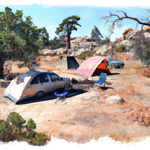 Mountain Home Flat
|
||
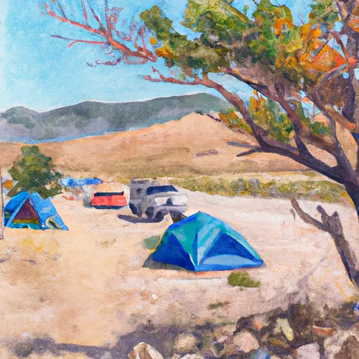 Columbine Springs
|
||
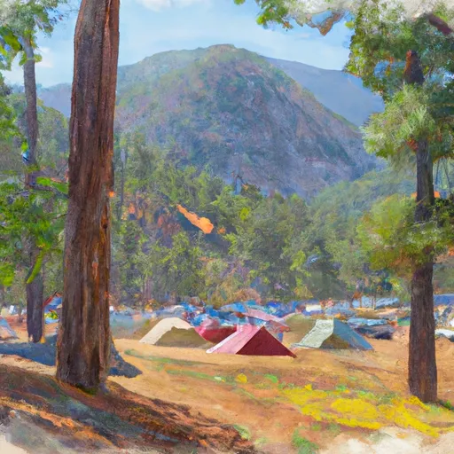 Seven Oaks Mountain Resort
|
||
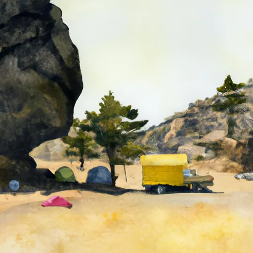 Yellow Post #28
|
||
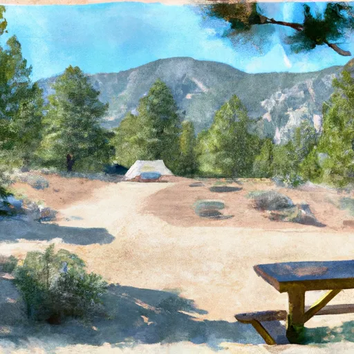 Limber Pine Bench
|
||
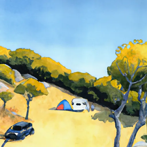 Yellow Post #29
|


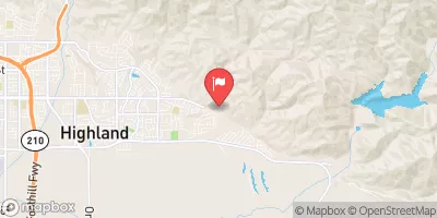
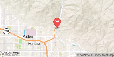
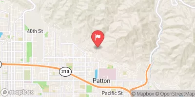
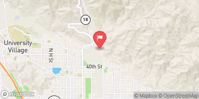
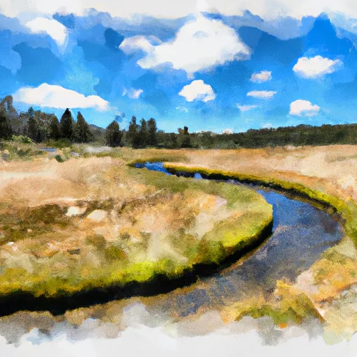 Big Meadows To Filaree Flat
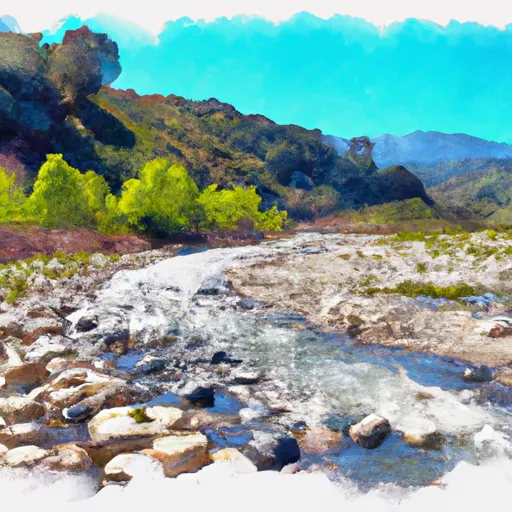 Filaree Flat To Confluence With Bear Creek
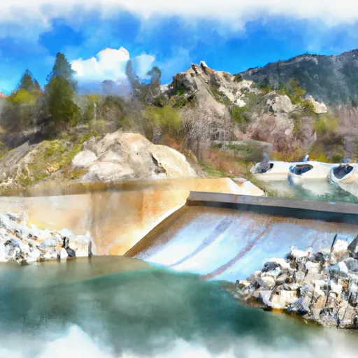 Big Bear Dam To Private Land In Sec 19, T1N, R1W
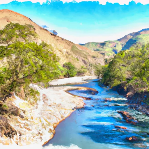 Bluff Lake To Confluence With Bear Creek
 South Fork Meadows To San Gorgonia Wilderness Boundary
 Below Deep Creek Lake To Below 2W01 Crossing
 Grout Bay Park
 Dana Point Park
 Meadows Edge Park
 Flag Hill Park
 Yucaipa Regional Park
 Arrowbear Lake
 Big Bear Lake
 Green Valley Lake
 Santa Ana River
 Yucaipa Park Lake