2026-02-06T22:00:00-08:00
* WHAT...Increased threat of sneaker waves expected. * WHERE...Coastal Del Norte, Northern Humboldt Coast, Southwestern Humboldt and Mendocino Coast Counties. * WHEN...Through this evening. . * IMPACTS...Large, unexpected waves can sweep across the beach without warning, sweeping people into the sea from rocks, jetties, and beaches. These sneaker waves can also move large objects such as logs, crushing anyone caught underneath.
Summary
19, T3S, R1W, Hm, and flows for approximately 30 miles until it empties into the Pacific Ocean in Southern California. The ideal streamflow range for the river is between 200-400 cfs, which makes it perfect for rafting and kayaking. The river is rated as a class III-IV, which means that it features moderate to difficult rapids with waves up to 4 feet and some obstacles that should be approached with caution.
The segment mileage of the Whitewater River is divided into different sections, each with its own set of rapids and obstacles. The first section, from the headwaters to Palm Springs, is 10 miles long and features exciting rapids such as "The Chute" and "Pinball." The second section, from Palm Springs to the Mission Creek Preserve, is 8 miles long and includes the famous "Cathedral Canyon" and "The Maze" rapids. The third and final section, from the Mission Creek Preserve to the Pacific Ocean, is 12 miles long and features the most challenging rapids, such as "Mother's Rapid" and "The Corkscrew."
To protect the natural environment and preserve the safety of visitors, the Whitewater River is subject to specific regulations. For example, visitors are required to wear appropriate safety gear, including helmets and life jackets, while on the river. Additionally, visitors are not allowed to litter, disturb wildlife, or damage vegetation in the surrounding area. Overall, the Whitewater River is a thrilling and exciting destination for outdoor enthusiasts looking for a challenging and beautiful river run in Southern California.
°F
°F
mph
Wind
%
Humidity
15-Day Weather Outlook
River Run Details
| Last Updated | 2026-01-26 |
| River Levels | 117 cfs (12.28 ft) |
| Percent of Normal | 24% |
| Status | |
| Class Level | iii-iv |
| Elevation | ft |
| Run Length | 2.0 Mi |
| Streamflow Discharge | cfs |
| Gauge Height | ft |
| Reporting Streamgage | USGS 11469000 |
5-Day Hourly Forecast Detail
Nearby Streamflow Levels
 Mattole R Nr Petrolia Ca
|
233cfs |
 Mattole R Nr Ettersburg Ca
|
62cfs |
 Bull C Nr Weott Ca
|
83cfs |
 Eel R A Scotia Ca
|
2460cfs |
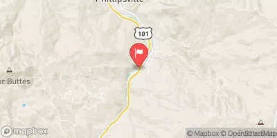 Sf Eel R Nr Miranda Ca
|
604cfs |
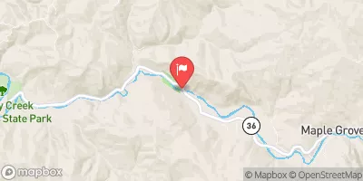 Van Duzen R Nr Bridgeville Ca
|
96cfs |
Area Campgrounds
| Location | Reservations | Toilets |
|---|---|---|
 Kinsey Creek
|
||
 Spanish Creek
|
||
 Spanish Flats
|
||
 Camp Wolfman
|
||
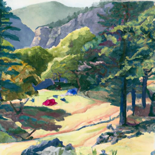 Big Creek (sites with tree coverage)
|
||
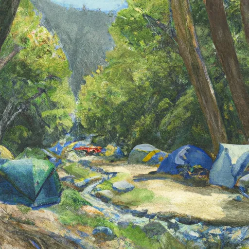 Big Creek Camp
|
River Runs
-
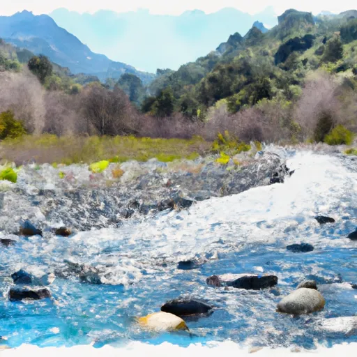 From Its Headwaters In Sec. 19, T3S, R1W, Hm To To The Pacific Ocean
-
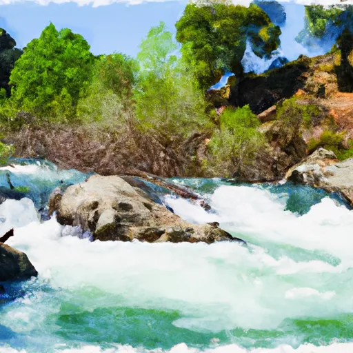 Northeast 1/4 Sec. 19 T3S, R1W, Hm To To Its Junction With The Main Stem
-
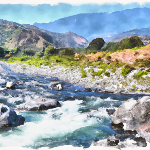 From Its Headwaters In Sec. 18, T3S, R1W, Hm To To The Pacific Ocean
-
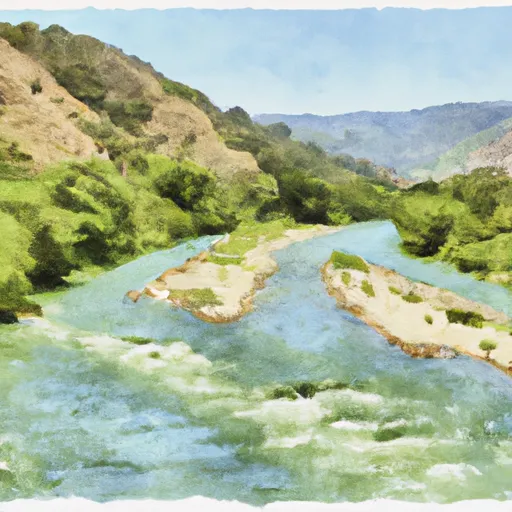 Northeast 1/4 Of Sec. 35 23 And 24, T3S, R2W, Hm To To Its Junction With The Main Stem
-
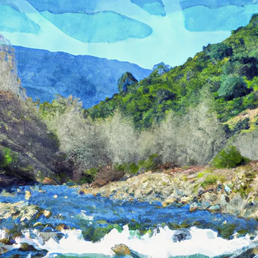 From Its Headwaters In Sec. 20, T3S, R1W, Hm To To The Pacific Ocean
-
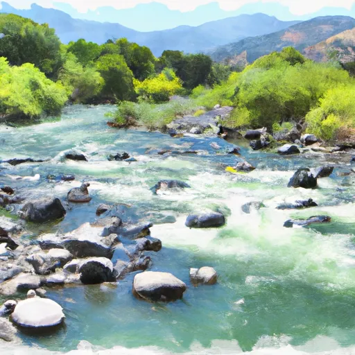 Northwest 1/4 Of Sec 29, T3S, R1W, Hm To To Its Junction With The Main Stem

