Winter Storm Warning
2026-02-18T16:00:00-08:00
2026-02-18T16:00:00-08:00
* WHAT...Heavy snow expected. Total snow accumulations between 4 to 8 inches above 2000 feet. Winds gusting as high as 45 mph. * WHERE...Southwestern Humboldt. * WHEN...From 10 PM this evening to 4 PM PST Wednesday. * IMPACTS...Travel could be very difficult. Gusty winds and heavy snow could bring down tree branches and cause power outages. Road closures are possible. * ADDITIONAL DETAILS...This may impact Mattole Road and Shelter Cove road among other roads above 2,000 feet.
Southwest And Northwest 1/4 Of Sec. 36 T4s, R1e, Hm. To To Its Junction With Big Creek Paddle Report
Last Updated: 2026-02-07
Get the latest Paddle Report, Streamflow Levels, and Weather Forecast for Southwest And Northwest 1/4 Of Sec. 36 T4s, R1e, Hm. To To Its Junction With Big Creek in California. California Streamflow Levels and Weather Forecast
Summary
°F
°F
mph
Wind
%
Humidity
15-Day Weather Outlook
River Run Details
| Last Updated | 2026-02-07 |
| River Levels | 47 cfs (8.9 ft) |
| Percent of Normal | 8% |
| Status | |
| Class Level | None |
| Elevation | ft |
| Run Length | 3.0 Mi |
| Streamflow Discharge | cfs |
| Gauge Height | ft |
| Reporting Streamgage | USGS 11468900 |
5-Day Hourly Forecast Detail
Nearby Streamflow Levels
 Mattole R Nr Ettersburg Ca
|
1060cfs |
 Sf Eel R Nr Miranda Ca
|
3950cfs |
 Bull C Nr Weott Ca
|
240cfs |
 Sf Eel R A Leggett Ca
|
4360cfs |
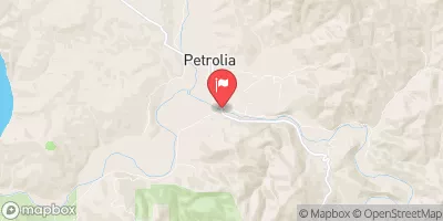 Mattole R Nr Petrolia Ca
|
1950cfs |
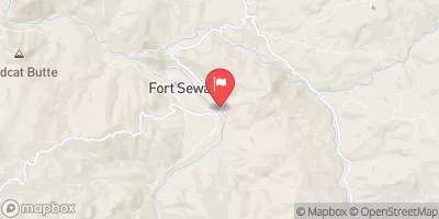 Eel R A Fort Seward Ca
|
8400cfs |
Area Campgrounds
| Location | Reservations | Toilets |
|---|---|---|
 Tolkan
|
||
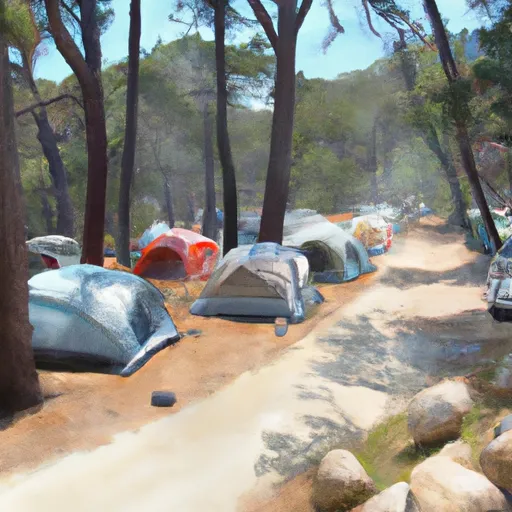 Nadelos
|
||
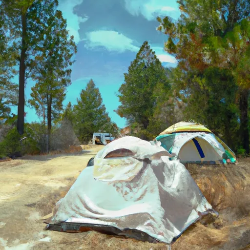 Nadelos Tenting Area
|
||
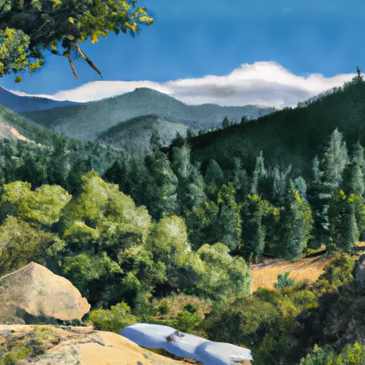 Horse Mountain Creek
|
||
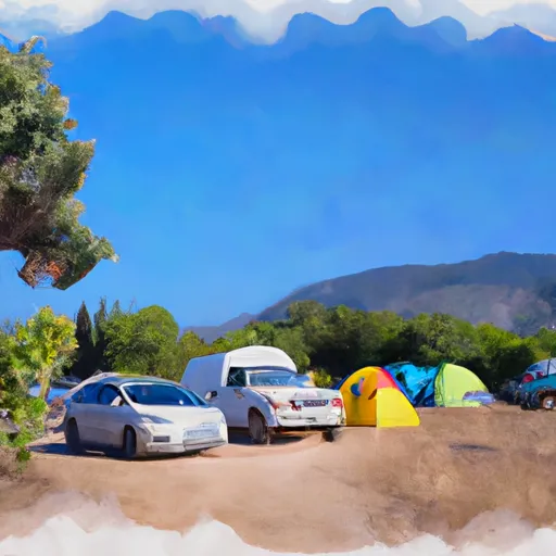 Wailaki Campground
|
||
 Place for a tent
|
River Runs
-
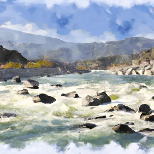 Southwest And Northwest 1/4 Of Sec. 36 T4S, R1E, Hm. To To Its Junction With Big Creek
-
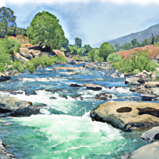 Southeast 1/4 Of Sec. 1 T5S, R1E, Hm To To Its Junction With The Main Stem
-
 From Its Headwaters In Sec. 1, T5S, R1E, Hm To To Its Junction With The Mattole River
-
 From Headwaters In Sec. 35, T4S, R1E, Hm To To Its Junction With The Mattole River
-
 Northeast 1/4 Sec. 3, T5S, R1E, Hm To To Its Junction With The Main Stem
-
 Bear Creak, South Fork

