2026-02-22T10:00:00-08:00
* WHAT...Southeast winds 30 to 40 mph with gusts up to 70 mph expected. Higher gusts over high, exposed terrain. * WHERE...Humboldt Interior, Del Norte Interior, and Southwestern Humboldt. * WHEN...Until 10 AM PST Sunday. * IMPACTS...Wind gusts will be particularly strong along windward ridges and exposed coastal headlands. Damaging winds will blow down trees and power lines. Widespread power outages are expected. Travel will be difficult. * ADDITIONAL DETAILS...A prolonged period of strong winds is expected to continue through Sunday morning. Winds are expected to increase to up to 60 mph today, peaking up to 70 mph tonight into Sunday. Locally up to 80 mph possible.
Summary
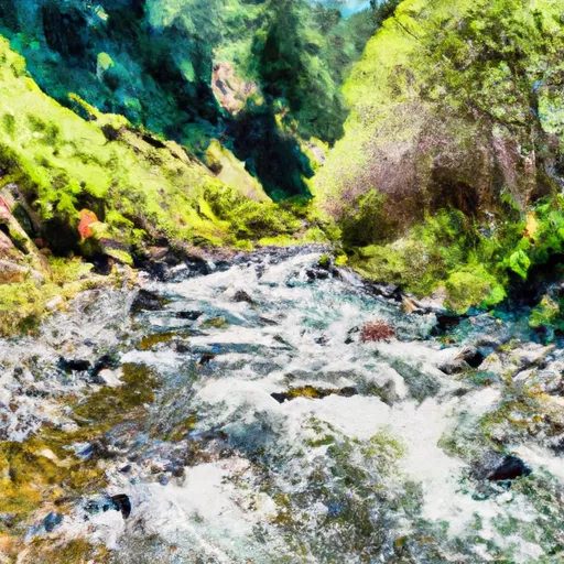
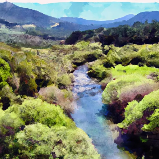
The ideal streamflow range for this section of the river is between 100 and 800 cfs, with the best conditions occurring in the springtime. It is rated as a Class III-IV river, with several challenging rapids throughout the 27-mile segment.
Some of the specific rapids and obstacles to look out for on the Whitewater River Run include the "Staircase," "Pinball," and "Sledgehammer" rapids. These rapids range in difficulty from Class III to Class IV and require advanced paddling skills to navigate safely. There are also several large boulders and fallen trees that add to the complexity of the run.
In terms of regulations, the Whitewater River Run is located within the San Bernardino National Forest and is subject to National Forest regulations. Visitors are required to obtain a permit for overnight camping and are advised to follow Leave No Trace principles to minimize their impact on the environment.
Overall, the Whitewater River Run offers a challenging and exciting experience for advanced paddlers. However, it is important to approach the river with caution and respect for the natural environment.
°F
°F
mph
Wind
%
Humidity
15-Day Weather Outlook
River Run Details
| Last Updated | 2026-02-07 |
| River Levels | 117 cfs (12.28 ft) |
| Percent of Normal | 9% |
| Status | |
| Class Level | iii-iv |
| Elevation | ft |
| Run Length | 1.0 Mi |
| Streamflow Discharge | cfs |
| Gauge Height | ft |
| Reporting Streamgage | USGS 11469000 |
5-Day Hourly Forecast Detail
Nearby Streamflow Levels
 Mattole R Nr Petrolia Ca
|
1390cfs |
 Mattole R Nr Ettersburg Ca
|
572cfs |
 Bull C Nr Weott Ca
|
266cfs |
 Eel R A Scotia Ca
|
13300cfs |
 Van Duzen R Nr Bridgeville Ca
|
461cfs |
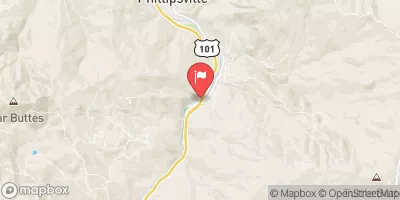 Sf Eel R Nr Miranda Ca
|
2830cfs |
Area Campgrounds
| Location | Reservations | Toilets |
|---|---|---|
 Cooskie Creek
|
||
 Sea Lion Gulch
|
||
 Randall Creek
|
||
 Camp Wolfman
|
||
 Spanish Flats
|
||
 Spanish Creek
|
River Runs
-
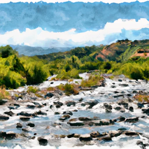 From Its Intersection With Chaparral Creek In Sec. 9 T3S, R2W, Hm To To The Pacific Ocean
-
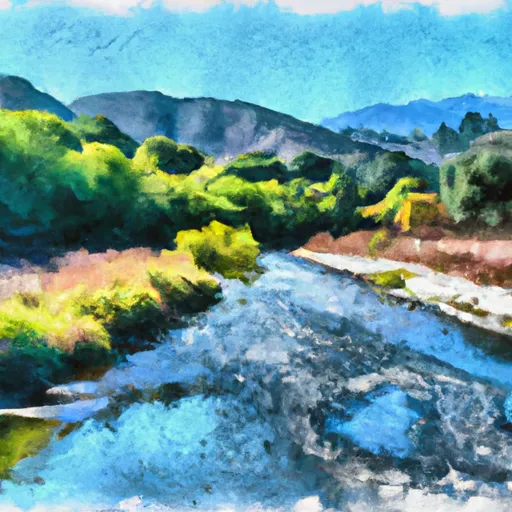 From Its Headwaters In Sec. 32, T2S, R2W, Hm To To The Pacific Ocean
-
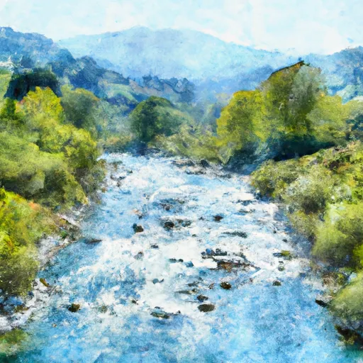 From Its Headwaters In Sec 27, T2S, R2W, Hm To To The Pacific Ocean
-
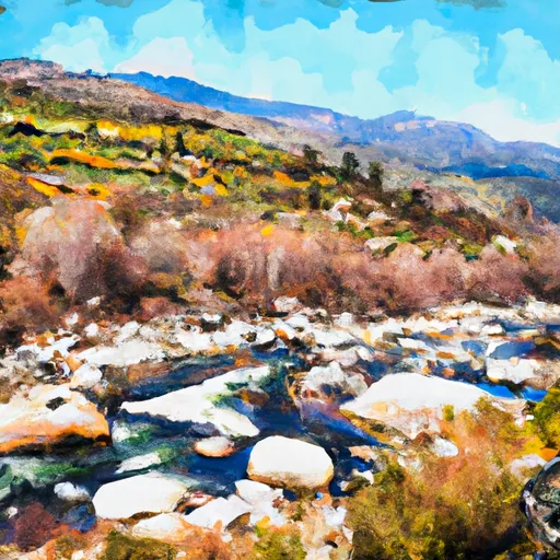 From Its Headwaters In Sec. 13, T3S, R2W, Hm To To The Pacific Ocean
-
 From Its Headwaters In Sec. 21, T2S, R2W, Hm To To Its Junction With The Mattole River
-
 Headwaters In Sec. 27., T2S, R2W, Hm To To Its Junction With The Mattole River

