2026-02-25T00:00:00-08:00
* WHAT...Flooding caused by excessive rainfall is possible. * WHERE...A portion of northwest California, including the following areas, Coastal Del Norte, Del Norte Interior, Mendocino Coast, Northeastern Mendocino Interior, Northern Humboldt Coast, Northern Humboldt Interior, Northern Lake, Northern Trinity, Northwestern Mendocino Interior, Southeastern Mendocino Interior, Southern Humboldt Interior, Southern Lake, Southern Trinity, Southwestern Humboldt and Southwestern Mendocino Interior. * WHEN...From Monday evening through Tuesday evening. * IMPACTS...There will be an increased risk of rock and land slides along roadways. Excessive runoff may result in flooding of rivers, creeks, streams, and other low-lying and flood-prone locations. * ADDITIONAL DETAILS... - A prolonged duration of moderate to heavy rain is expected. - http://www.weather.gov/safety/flood
Summary
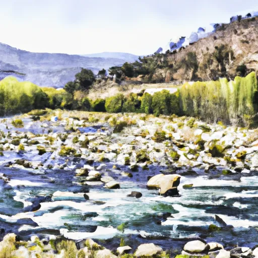
The ideal streamflow range for this section of the river is between 800 and 3,000 cfs. The segment covers 14.5 miles and is rated as Class III-IV, with some sections reaching Class V during high water. The run begins four-tenths of a mile upstream from the confluence of Foley Creek and ends at Trinity WSR.
The river rapids and obstacles to look out for include the "Cascades," "Chamberlain Falls," and "Hell's Half Mile." These rapids are all Class IV-V and require experienced paddlers to navigate safely.
There are specific regulations in place for the Whitewater River Run. Paddlers must wear a properly fitting US Coast Guard-approved personal flotation device (PFD) at all times while on the river, and helmets are strongly recommended. Additionally, camping is only allowed in designated areas, and fires are prohibited within 100 feet of the river.
°F
°F
mph
Wind
%
Humidity
15-Day Weather Outlook
River Run Details
| Last Updated | 2026-02-07 |
| River Levels | 13 cfs (3.51 ft) |
| Percent of Normal | 12% |
| Status | |
| Class Level | iii-iv |
| Elevation | ft |
| Streamflow Discharge | cfs |
| Gauge Height | ft |
| Reporting Streamgage | USGS 11480390 |
5-Day Hourly Forecast Detail
Nearby Streamflow Levels
 Mad R Ab Ruth Res Nr Forest Glen Ca
|
216cfs |
 Eel R A Fort Seward Ca
|
6240cfs |
 Sf Trinity R Bl Hyampom Ca
|
903cfs |
 Trinity R A Douglas City Ca
|
640cfs |
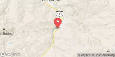 Sf Eel R Nr Miranda Ca
|
2830cfs |
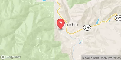 Trinity R A Junction City Ca
|
775cfs |
Area Campgrounds
| Location | Reservations | Toilets |
|---|---|---|
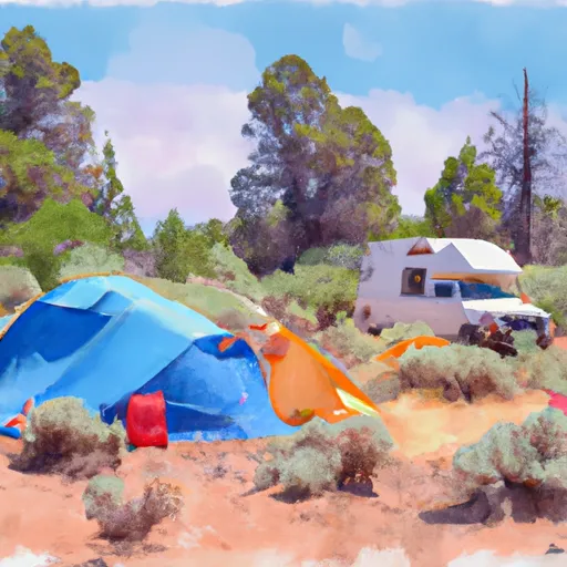 Scott Flat
|
||
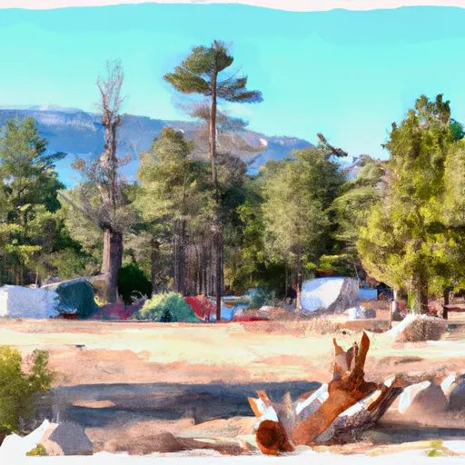 Scott Flat Campground
|
||
 Forest Glen Cabin (Guard Station)
|
||
 Hell Gate
|
||
 Hell Gate Campground
|
||
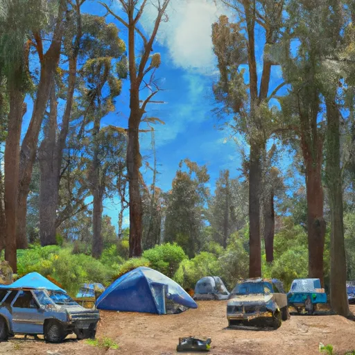 Fern Campground
|
River Runs
-
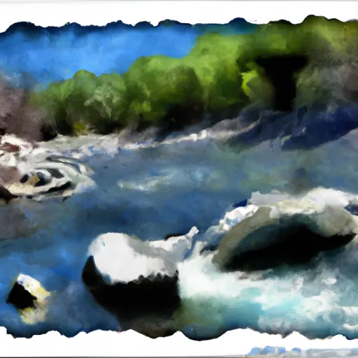 Four Tenths Mile Upstream With The Confluence Of Foley Creek
Four Tenths Mile Upstream With Confluence With Foley Creek To Trinity Wsr
-
 Confluence With Smoky Creek To Four Tenths Of A Mile West And Downstream Of Double Cabins Site
-
 Two Tenth Mile West And Downstream Of Double Cabins Site To Confluence With Smoky Creek
-
 West Section Line Of Sec 28, T28N, R11W To Two Tenths Of A Mile West And Downstream Of Double Cabins Site

