2026-02-18T16:00:00-08:00
* WHAT...Heavy snow. Additional snow accumulations up to 8 inches. Winds gusting as high as 35 mph. * WHERE...Southwestern Humboldt. * WHEN...Until 4 PM PST Wednesday. * IMPACTS...Roads, and especially bridges and overpasses, will likely become slick and hazardous. Travel could be very difficult. Snow may no * ADDITIONAL DETAILS...Snow is possible down to 1,000 feet and small hail may create slippery conditions below the snow level.
Summary
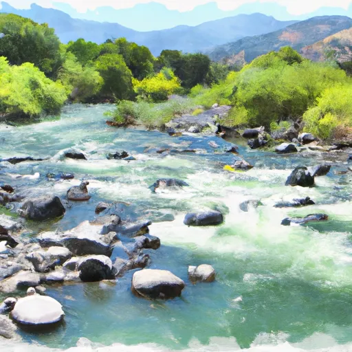
28, T3S, R1W, Hm to the Pacific Ocean. The ideal streamflow range for this river is between 200 and 400 cubic feet per second (cfs) for kayaking and rafting. The river is rated as a Class III to Class IV for its challenging rapids and obstacles. The river is divided into three segments: the Upper, Middle, and Lower sections. The Upper segment is approximately 6 miles long and offers Class IV rapids, including the infamous "Frog Rock" rapid. The Middle segment is approximately 10 miles long and offers Class III and IV rapids, including "The Chute" and "Butcher Knife." The Lower segment is approximately 14 miles long and offers Class II and III rapids.
There are specific regulations to the area, including a permit system administered by the Bureau of Land Management for all commercial and private users. All users are required to wear a life jacket and helmet while on the river. Additionally, camping is allowed at designated campsites along the river with a valid permit. Overall, the Whitewater River is a challenging and exciting destination for experienced kayakers and rafters looking for a Class III to IV adventure.
°F
°F
mph
Wind
%
Humidity
15-Day Weather Outlook
River Run Details
| Last Updated | 2026-02-07 |
| River Levels | 117 cfs (12.28 ft) |
| Percent of Normal | 9% |
| Status | |
| Class Level | iii-iv |
| Elevation | ft |
| Run Length | 3.0 Mi |
| Streamflow Discharge | cfs |
| Gauge Height | ft |
| Reporting Streamgage | USGS 11469000 |
5-Day Hourly Forecast Detail
Nearby Streamflow Levels
 Mattole R Nr Petrolia Ca
|
1340cfs |
 Mattole R Nr Ettersburg Ca
|
611cfs |
 Bull C Nr Weott Ca
|
162cfs |
 Sf Eel R Nr Miranda Ca
|
3080cfs |
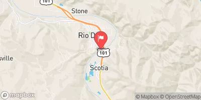 Eel R A Scotia Ca
|
17400cfs |
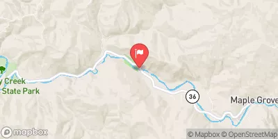 Van Duzen R Nr Bridgeville Ca
|
619cfs |
Area Campgrounds
| Location | Reservations | Toilets |
|---|---|---|
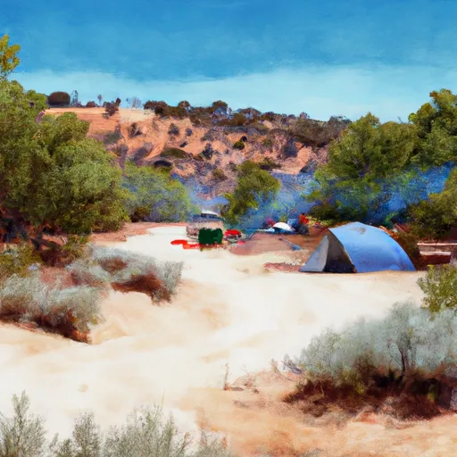 Miller Loop Camp
|
||
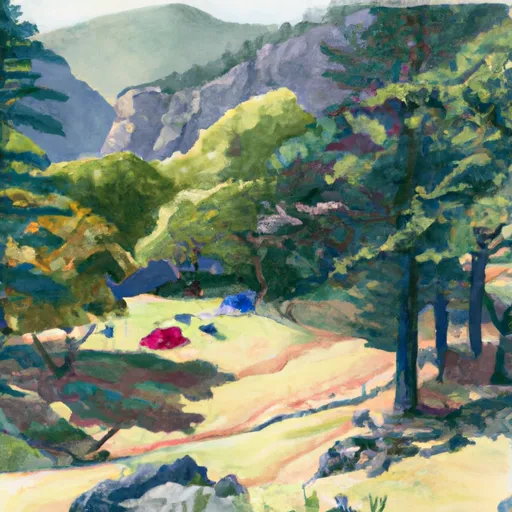 Big Creek (sites with tree coverage)
|
||
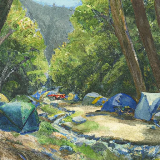 Big Creek Camp
|
||
 Kinsey Creek
|
||
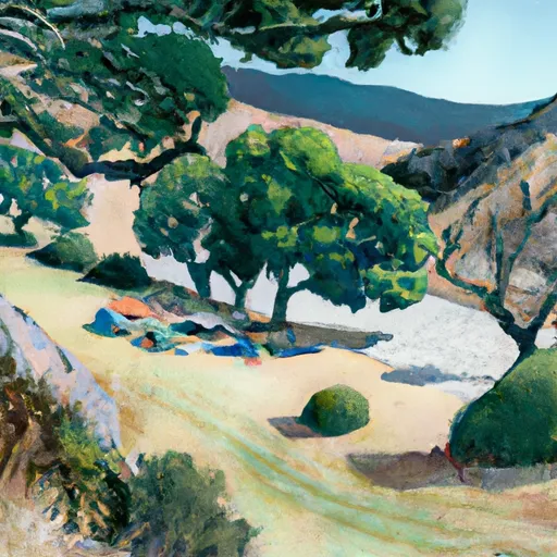 Spanish Creek
|
||
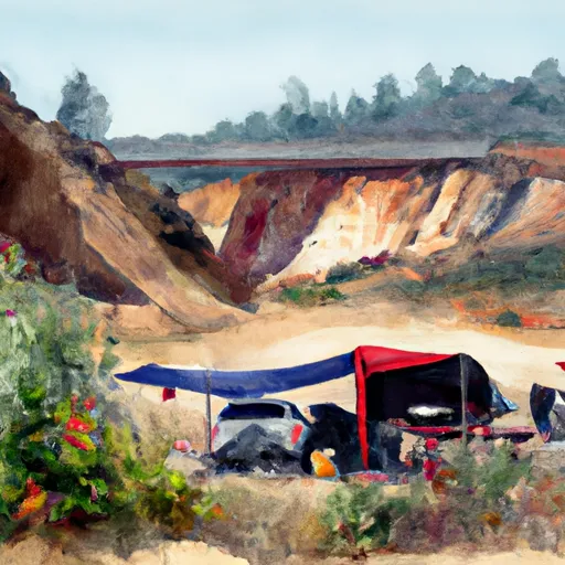 Spanish Flats
|
River Runs
-
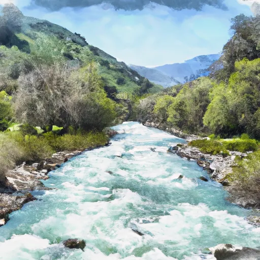 From Its Headwaters In Sec. 28, T3S, R1W, Hm To To The Pacific Ocean
-
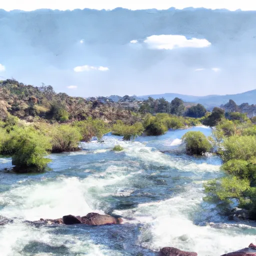 Northwest 1/4 Of Sec. 33 T3S, R1W, Hm. To Southeast 1/4 Of Sec. 27 T3S, R1W, Hm
-
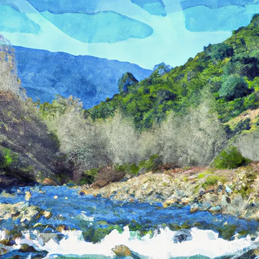 From Its Headwaters In Sec. 20, T3S, R1W, Hm To To The Pacific Ocean
-
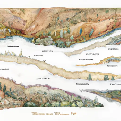 Multiple: Sec. 13, T3S, R2W, Hm; Sec. 18, 7, 17 (Nw1/4 & Sw1/4), 9, 10, 15, 21, T3S, R1W, Hm To To Their Junctions With The Main Stem
-
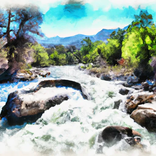 Big Creek
-
 Northwest 1/4 Of Sec 29, T3S, R1W, Hm To To Its Junction With The Main Stem

