Northeast 1/4 Of Sec. 35 23 And 24, T3s, R2w, Hm To To Its Junction With The Main Stem Paddle Report
Last Updated: 2026-02-07
Get the latest Paddle Report, Streamflow Levels, and Weather Forecast for Northeast 1/4 Of Sec. 35 23 And 24, T3s, R2w, Hm To To Its Junction With The Main Stem in California. California Streamflow Levels and Weather Forecast
Summary
°F
°F
mph
Wind
%
Humidity
15-Day Weather Outlook
River Run Details
| Last Updated | 2026-02-07 |
| River Levels | 117 cfs (12.28 ft) |
| Percent of Normal | 9% |
| Status | |
| Class Level | None |
| Elevation | ft |
| Run Length | 1.0 Mi |
| Streamflow Discharge | cfs |
| Gauge Height | ft |
| Reporting Streamgage | USGS 11469000 |
5-Day Hourly Forecast Detail
Nearby Streamflow Levels
 Mattole R Nr Petrolia Ca
|
1340cfs |
 Mattole R Nr Ettersburg Ca
|
611cfs |
 Bull C Nr Weott Ca
|
162cfs |
 Eel R A Scotia Ca
|
17400cfs |
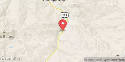 Sf Eel R Nr Miranda Ca
|
3080cfs |
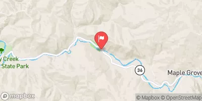 Van Duzen R Nr Bridgeville Ca
|
619cfs |
Area Campgrounds
| Location | Reservations | Toilets |
|---|---|---|
 Spanish Flats
|
||
 Spanish Creek
|
||
 Camp Wolfman
|
||
 Kinsey Creek
|
||
 Randall Creek
|
||
 Big Creek (sites with tree coverage)
|
River Runs
-
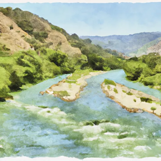 Northeast 1/4 Of Sec. 35 23 And 24, T3S, R2W, Hm To To Its Junction With The Main Stem
-
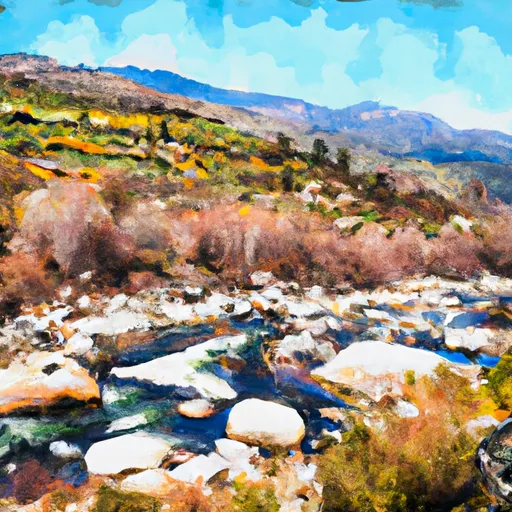 From Its Headwaters In Sec. 13, T3S, R2W, Hm To To The Pacific Ocean
-
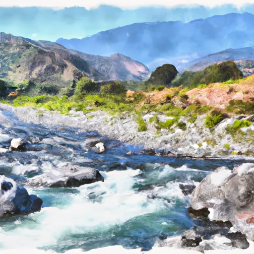 From Its Headwaters In Sec. 18, T3S, R1W, Hm To To The Pacific Ocean
-
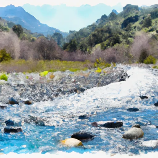 From Its Headwaters In Sec. 19, T3S, R1W, Hm To To The Pacific Ocean
-
 Northeast 1/4 Sec. 19 T3S, R1W, Hm To To Its Junction With The Main Stem
-
 Northwest 1/4 Of Sec 29, T3S, R1W, Hm To To Its Junction With The Main Stem

