2026-02-22T10:00:00-08:00
* WHAT...Southeast winds 25 to 35 mph with gusts up to 75 mph. * WHERE...Humboldt Interior, Del Norte Interior, and Southwestern Humboldt. * WHEN...Until 10 AM PST Sunday. * IMPACTS...Wind gusts will be particularly strong along windward ridges and exposed coastal headlands.
Summary
The headwaters of the river are located in Sec. 18, T5S, R2E, Hm and flow for approximately 30 miles before reaching the Pacific Ocean. The ideal streamflow range for whitewater rafting on the Whitewater River is between 300-800 cubic feet per second (cfs). The river is rated as Class II-IV, depending on the section being navigated. The segment mileage varies depending on the put-in and take-out points, but popular runs include the 10-mile section between Whitewater Preserve and Bonnie Bell, and the 6-mile section between Snow Creek and Painted Canyon.
The Whitewater River features a variety of rapids and obstacles, including boulder gardens, drops, and narrow chutes. Some of the most notable rapids include the Meatgrinder, which is a Class IV rapid located near Bonnie Bell, and the Painted Canyon rapid, which is a technical Class III rapid. It is important to note that the Whitewater River is subject to flash floods and can be dangerous during high water events.
There are specific regulations in place for the Whitewater River area, including restrictions on alcohol and drug use, and requirements for personal flotation devices (PFDs) and helmets. Additionally, permits may be required for certain sections of the river, and there may be restrictions on camping and fires in the surrounding areas.
°F
°F
mph
Wind
%
Humidity
15-Day Weather Outlook
River Run Details
| Last Updated | 2026-02-07 |
| River Levels | 47 cfs (8.9 ft) |
| Percent of Normal | 8% |
| Status | |
| Class Level | ii-iv |
| Elevation | ft |
| Run Length | 3.0 Mi |
| Streamflow Discharge | cfs |
| Gauge Height | ft |
| Reporting Streamgage | USGS 11468900 |
5-Day Hourly Forecast Detail
Nearby Streamflow Levels
 Mattole R Nr Ettersburg Ca
|
691cfs |
 Sf Eel R Nr Miranda Ca
|
3400cfs |
 Sf Eel R A Leggett Ca
|
2590cfs |
 Bull C Nr Weott Ca
|
300cfs |
 Eel R A Fort Seward Ca
|
7610cfs |
 Mattole R Nr Petrolia Ca
|
1650cfs |
Area Campgrounds
| Location | Reservations | Toilets |
|---|---|---|
 Wailaki
|
||
 Wailaki Campground
|
||
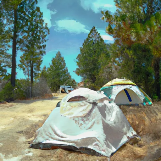 Nadelos Tenting Area
|
||
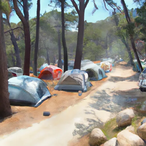 Nadelos
|
||
 Nick's Camp
|
||
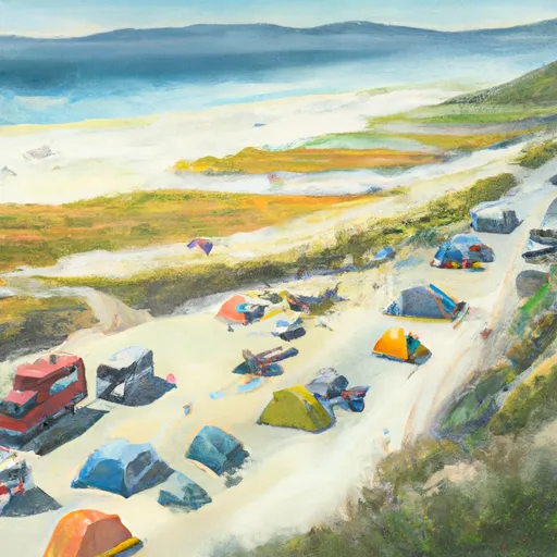 Jones Beach Campground
|


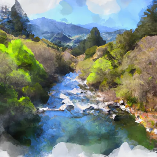 From Its Headwaters In Sec. 18, T5S, R2E, Hm To From Shelter Cove Road
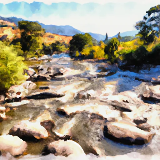 Bear Creak, South Fork
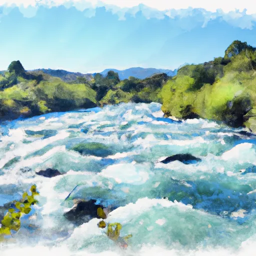 Southeast 1/4 Of Sec. 19 And 30, T5S, R2E, Hm To To The Junction With The Main Stem
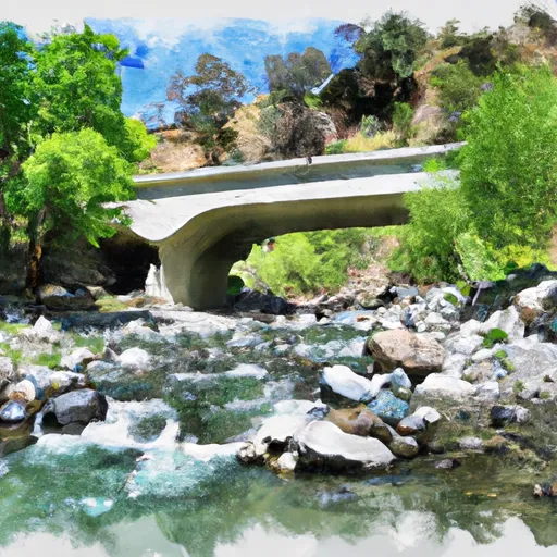 Bridge Creek
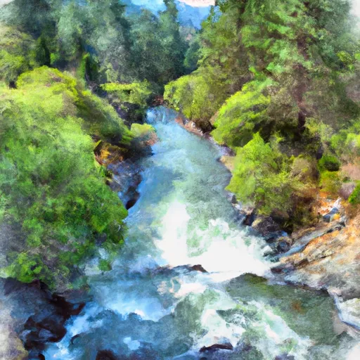 From Its Headwaters Just North Of The Humboldt Co./ Mendocino Co. Line To To The Pacific Ocean
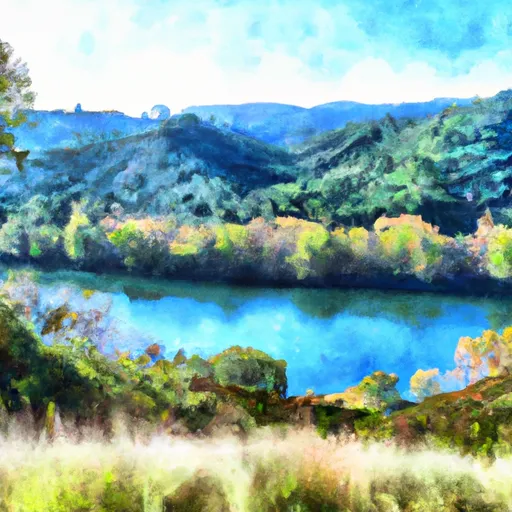 Benbow Lake State Recreation Area
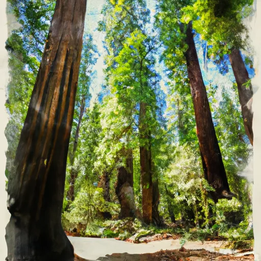 John B. Dewitt Redwoods State Reserve
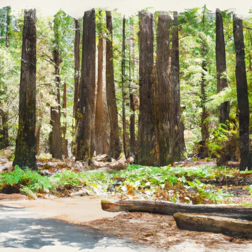 Richardson Grove State Park