2026-02-06T22:00:00-08:00
* WHAT...Increased threat of sneaker waves expected. * WHERE...Coastal Del Norte, Northern Humboldt Coast, Southwestern Humboldt and Mendocino Coast Counties. * WHEN...Through this evening. . * IMPACTS...Large, unexpected waves can sweep across the beach without warning, sweeping people into the sea from rocks, jetties, and beaches. These sneaker waves can also move large objects such as logs, crushing anyone caught underneath.
Summary
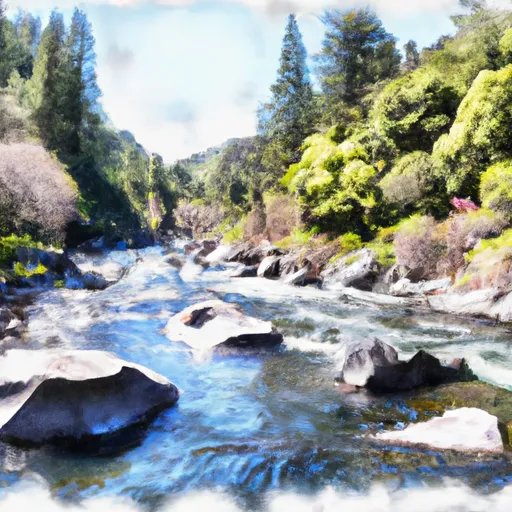
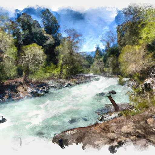
The ideal streamflow range for this river is between 500-1500 cfs. The river is divided into three segments: upper, middle and lower.
The upper segment is a class IV-V section that runs for 9 miles from the headwaters in Section 17, T4S, R1E, to the Whitewater Preserve. It features steep drops and technical rapids such as "Bitch Slap" and "Pinball." The middle segment is a class III-IV section that runs for 7 miles from the preserve to White Water Village. It features fun and challenging rapids such as "The Maze" and "Jump Off."
The lower segment is a class II-III section that runs for 13 miles from White Water Village to the Pacific Ocean. It features beautiful scenery and milder rapids such as "Boulder Garden" and "The Narrows." Specific regulations to the area require all boaters to wear a personal flotation device (PFD) and to pack out all trash.
Overall, the Whitewater River run provides a diverse range of rapids and scenery for all skill levels. It is important to note that water levels can change quickly, so it is essential to check current flow conditions before embarking on any trip.
°F
°F
mph
Wind
%
Humidity
15-Day Weather Outlook
River Run Details
| Last Updated | 2026-01-26 |
| River Levels | 47 cfs (8.9 ft) |
| Percent of Normal | 15% |
| Status | |
| Class Level | iv-v |
| Elevation | ft |
| Run Length | 3.0 Mi |
| Streamflow Discharge | cfs |
| Gauge Height | ft |
| Reporting Streamgage | USGS 11468900 |
5-Day Hourly Forecast Detail
Nearby Streamflow Levels
 Mattole R Nr Ettersburg Ca
|
62cfs |
 Bull C Nr Weott Ca
|
83cfs |
 Mattole R Nr Petrolia Ca
|
233cfs |
 Sf Eel R Nr Miranda Ca
|
604cfs |
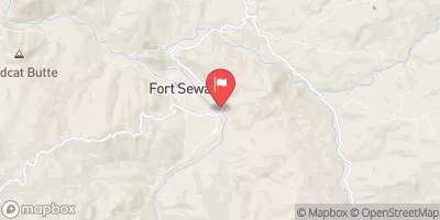 Eel R A Fort Seward Ca
|
1620cfs |
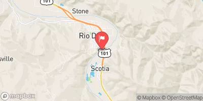 Eel R A Scotia Ca
|
2460cfs |
Area Campgrounds
| Location | Reservations | Toilets |
|---|---|---|
 Gitchell Creek
|
||
 Maple Camp
|
||
 Shipman Creek
|
||
 Place for a tent
|
||
 Tolkan
|
||
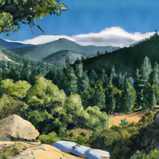 Horse Mountain Creek
|


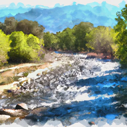 From Its Headwaters In Sec. 17, T4S, R1E To To The Pacific Ocean
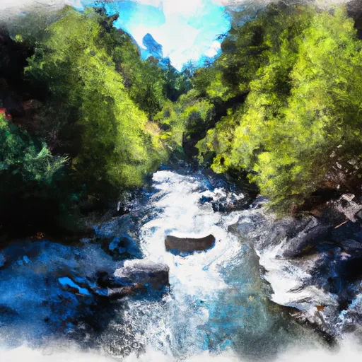 Bear Creek, North Fork, Trib
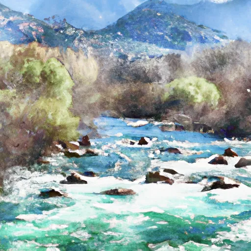 From Its Headwaters In Sec. 7, T4S, R1E, Hm To To Junction With N. Fork In Sec. 32, T3S, R1E, Hm
 From Its Headwaters In Sec. 18, T4S, R1E, Hm To To The Pacific Ocean
 Bear Creek, North Fork