2026-02-18T16:00:00-08:00
* WHAT...Heavy snow. Additional snow accumulations up to 8 inches. Winds gusting as high as 35 mph. * WHERE...Southwestern Humboldt. * WHEN...Until 4 PM PST Wednesday. * IMPACTS...Roads, and especially bridges and overpasses, will likely become slick and hazardous. Travel could be very difficult. Snow may no * ADDITIONAL DETAILS...Snow is possible down to 1,000 feet and small hail may create slippery conditions below the snow level.
Summary
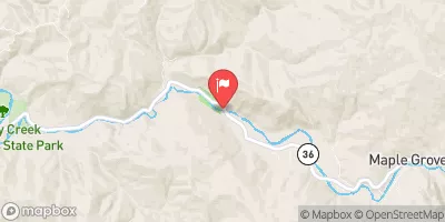
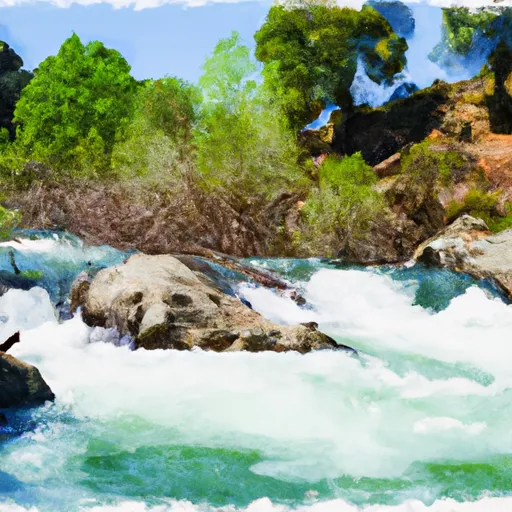
The ideal streamflow range for this river is 200-400 cubic feet per second (cfs) during the summer months, while 500-1,000 cfs is considered ideal during the winter and spring. The river is rated as a Class III-IV, and its total length is approximately 30 miles.
There are several notable rapids and obstacles along the river, including the "Rockpile" and "Pinball" rapids. The "Rockpile" rapid is a Class IV rapid located near the beginning of the run and is known for its large boulders that create challenging waves and hydraulics. "Pinball" is another Class IV rapid that is named for its narrow channel and numerous obstacles that create a pinball-like effect for boaters.
There are specific regulations in place for the Whitewater River, including the requirement of a permit for all commercial rafting trips. Additionally, boaters are required to wear personal flotation devices (PFDs) at all times while on the river. It is also recommended that boaters have experience in whitewater rafting and have appropriate safety equipment on hand.
In summary, the Whitewater River in California is a challenging and exciting river run with ideal streamflow ranges, a Class III-IV rating, and several notable rapids and obstacles. Boaters should be aware of specific regulations and safety requirements before embarking on this adventure. Sources used for verification include whitewater guidebooks and the California State Parks website.
°F
°F
mph
Wind
%
Humidity
15-Day Weather Outlook
River Run Details
| Last Updated | 2025-06-28 |
| River Levels | 117 cfs (12.28 ft) |
| Percent of Normal | 107% |
| Status | |
| Class Level | iii-iv |
| Elevation | ft |
| Run Length | 2.0 Mi |
| Streamflow Discharge | cfs |
| Gauge Height | ft |
| Reporting Streamgage | USGS 11469000 |
5-Day Hourly Forecast Detail
Nearby Streamflow Levels
 Mattole R Nr Petrolia Ca
|
1340cfs |
 Mattole R Nr Ettersburg Ca
|
611cfs |
 Bull C Nr Weott Ca
|
162cfs |
 Eel R A Scotia Ca
|
17400cfs |
 Sf Eel R Nr Miranda Ca
|
3080cfs |
 Van Duzen R Nr Bridgeville Ca
|
619cfs |
Area Campgrounds
| Location | Reservations | Toilets |
|---|---|---|
 Camp Wolfman
|
||
 Spanish Flats
|
||
 Randall Creek
|
||
 Spanish Creek
|
||
 Kinsey Creek
|
||
 Cooskie Creek
|
River Runs
-
 From Its Headwaters In Sec. 13, T3S, R2W, Hm To To The Pacific Ocean
-
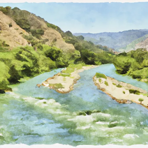 Northeast 1/4 Of Sec. 35 23 And 24, T3S, R2W, Hm To To Its Junction With The Main Stem
-
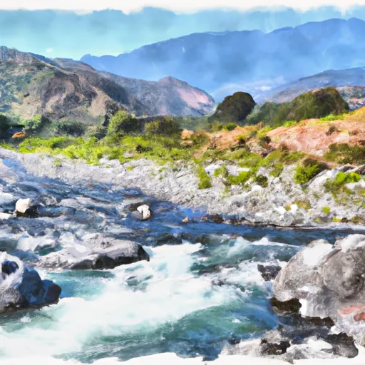 From Its Headwaters In Sec. 18, T3S, R1W, Hm To To The Pacific Ocean
-
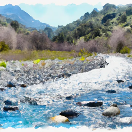 From Its Headwaters In Sec. 19, T3S, R1W, Hm To To The Pacific Ocean
-
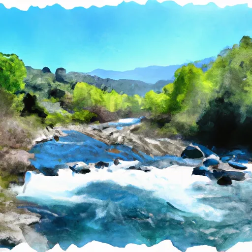 From Headwaters In Sec. 21, T3S, R1W, Hm To To Private Land Boundary In The Nw 1/4 Of Se. 8, T3S, R1W, Hm
-
 Northeast 1/4 Sec. 19 T3S, R1W, Hm To To Its Junction With The Main Stem

