2026-02-18T16:00:00-08:00
* WHAT...Heavy snow snow levels falling to 2000 feet Monday night. Additional snow accumulations between 4 and 8 inches. * WHERE...Trinity County. * WHEN...Until 4 PM PST Wednesday. * IMPACTS...Travel could be very difficult to impossible. Tire chains may be necessary if travelling through mountain passes. Road closures are possible.
Summary
The ideal streamflow range for this section of the river is between 1,000 and 3,000 cubic feet per second (cfs). This section is rated as class III-IV, meaning it is suitable for experienced paddlers with good technical skills.
The segment covers a distance of approximately 9 miles, with numerous rapids and obstacles along the way. Some of the rapids include Pinball, Little Widowmaker, and Powerhouse. The river also features several challenging drops and steep chutes, which require careful navigation.
There are specific regulations that visitors must adhere to when visiting this area. For example, all visitors must obtain a permit before entering the wilderness area, and fires are only allowed in designated fire rings. Additionally, visitors must pack out all trash and waste, and are not allowed to camp within 100 feet of the river.
°F
°F
mph
Wind
%
Humidity
15-Day Weather Outlook
River Run Details
| Last Updated | 2025-06-28 |
| River Levels | 13 cfs (3.51 ft) |
| Percent of Normal | 43% |
| Status | |
| Class Level | iii-iv |
| Elevation | ft |
| Streamflow Discharge | cfs |
| Gauge Height | ft |
| Reporting Streamgage | USGS 11480390 |
5-Day Hourly Forecast Detail
Nearby Streamflow Levels
 Mad R Ab Ruth Res Nr Forest Glen Ca
|
213cfs |
 Elder C Nr Paskenta Ca
|
353cfs |
 Trinity R A Douglas City Ca
|
748cfs |
 Eel R A Fort Seward Ca
|
8020cfs |
 Indian C Nr Douglas City Ca
|
159cfs |
 Clear C Nr Igo Ca
|
364cfs |
Area Campgrounds
| Location | Reservations | Toilets |
|---|---|---|
 Chicago Camp
|
||
 Cherry Camp
|
||
 Post Creek Lookout
|
||
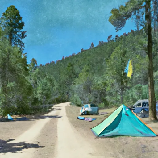 Hawk Camp
|
||
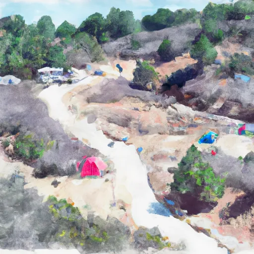 Watertrough Camp
|
||
 D Camp
|
River Runs
-
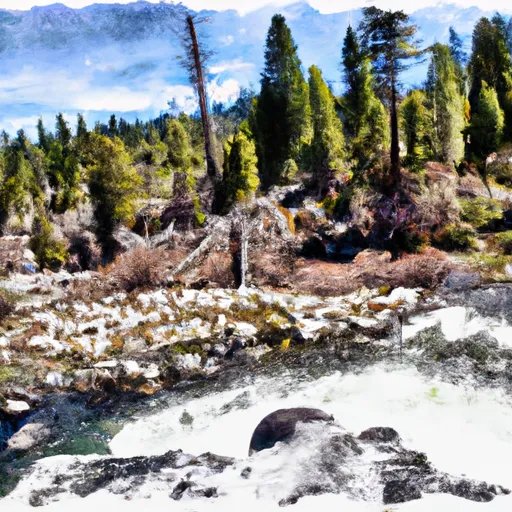 Headwaters (At Wilderness Boundary) To West Section Line Of Sec 28, T28S,R11W
-
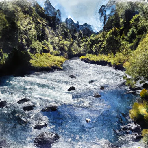 Headwaters In Sec 27, T26N, R10W To One Mile North Of Fern Point, At Boundary Of Designated Eel River
-
 West Section Line Of Sec 28, T28N, R11W To Two Tenths Of A Mile West And Downstream Of Double Cabins Site
-
 Headwaters In Sec 27, T26N, R10W To Confluence With Middle Fork Eel River
-
 South Fork Cottonwood Creek
-
 West Sec Line Of Sec 6, T28N,R9/10W To Nf Boundary With Blm

