Summary
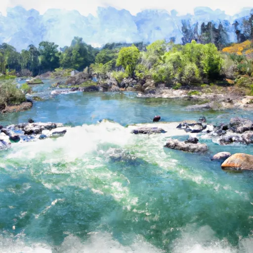
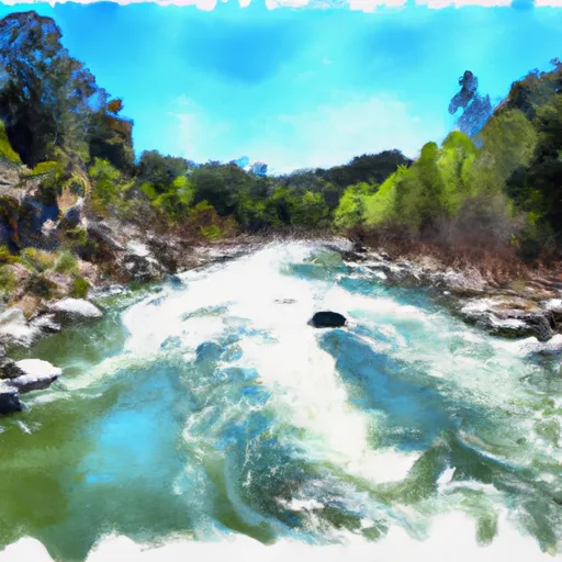
The ideal streamflow range for this section of the river is between 2,500 and 7,000 cubic feet per second (cfs), with peak season occurring in the spring and early summer. The class rating for this segment of the river is Class III, with some sections reaching Class IV at higher flow levels. The segment mileage for the Whitewater River Run is approximately 20 miles, beginning at the Dog Creek put-in and ending at the Jellys Ferry take-out.
The river is known for its challenging rapids and obstacles, including Satan's Cesspool, Troublemaker, and Deadman's Drop. These rapids offer exciting challenges for experienced boaters, but also require advanced skills and careful navigation. The river is also subject to changing conditions due to water releases from the nearby Keswick Dam, so boaters should be aware of current flow levels and be prepared to adjust their plans accordingly.
There are specific regulations in place for the Whitewater River Run, including permits required for commercial outfitters and regulations regarding camping and fires in the area. It is important for visitors to familiarize themselves with these regulations and practice responsible outdoor ethics to help preserve the natural beauty of the area. Overall, the Whitewater River Run is a thrilling adventure for experienced boaters looking to test their skills on the challenging rapids of the Sacramento River.
°F
°F
mph
Wind
%
Humidity
15-Day Weather Outlook
River Run Details
| Last Updated | 2025-06-28 |
| River Levels | 10900 cfs (4.27 ft) |
| Percent of Normal | 116% |
| Status | |
| Class Level | iii-iv |
| Elevation | ft |
| Streamflow Discharge | cfs |
| Gauge Height | ft |
| Reporting Streamgage | USGS 11377100 |
5-Day Hourly Forecast Detail
Nearby Streamflow Levels
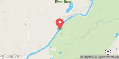 Sacramento R Ab Bend Bridge Nr Red Bluff Ca
|
11600cfs |
 Cottonwood C Nr Cottonwood Ca
|
1650cfs |
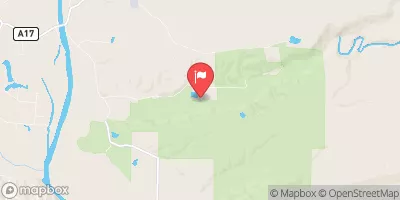 Battle C Bl Coleman Fish Hatchery Nr Cottonwood Ca
|
528cfs |
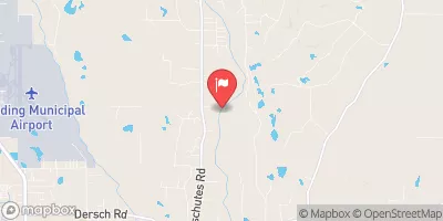 Cow C Nr Millville Ca
|
1140cfs |
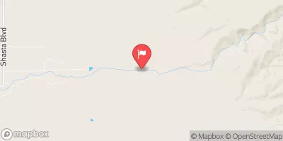 Mill C Nr Los Molinos Ca
|
460cfs |
 Elder C Nr Paskenta Ca
|
216cfs |
Area Campgrounds
| Location | Reservations | Toilets |
|---|---|---|
 Massacre Flat
|
||
 Sycamore Grove
|
||
 Sycamore Grove Campground
|
||
 Camp Discovery Group Campground
|
||
 Reading Island
|


 Jelly's Ferry
 Main Street 98, Red Bluff
 Sacramento River
 Paynes Creek
 Forward Park
 Diamond Park
 John R Trainor Park