2026-02-25T00:00:00-08:00
* WHAT...Flooding caused by excessive rainfall continues to be possible. * WHERE...A portion of northwest California, including the following areas, Del Norte County, Humboldt County, Trinity County, Mendocino County and Lake County. * WHEN...From Monday evening through Tuesday evening. * IMPACTS...There will be an increased risk of rock and land slides along roadways. Excessive runoff may result in flooding of rivers, creeks, streams, and other low-lying and flood-prone locations. * ADDITIONAL DETAILS... - A prolonged duration of moderate to heavy rain is expected. - http://www.weather.gov/safety/flood
Summary
The ideal streamflow range for this run is between 100-300 cfs, with higher flows making the rapids much more difficult to navigate. The segment mileage of this run is around 6 miles, and it is rated as a class III-IV rapids.
There are a number of specific rapids and obstacles on this run that can make it challenging, including "Corner Pocket," "S-Turn," and "The Maze." These rapids require strong maneuvering and technical skill to navigate safely.
In terms of regulations, the Cedar Creek Tributary is located within the San Bernardino National Forest, and visitors are expected to follow Leave No Trace principles while visiting the area. Additionally, all visitors are required to have a valid Adventure Pass displayed in their vehicle while parked in the national forest.
Overall, the Cedar Creek Tributary is a challenging and exciting run for experienced kayakers and rafters. However, it is important to always be prepared and follow all regulations to ensure a safe and enjoyable experience.
°F
°F
mph
Wind
%
Humidity
15-Day Weather Outlook
River Run Details
| Last Updated | 2025-06-28 |
| River Levels | 73 cfs (5.38 ft) |
| Percent of Normal | 109% |
| Status | |
| Class Level | iii-iv |
| Elevation | ft |
| Streamflow Discharge | cfs |
| Gauge Height | ft |
| Reporting Streamgage | USGS 11475800 |
5-Day Hourly Forecast Detail
Nearby Streamflow Levels
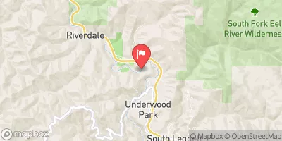 Sf Eel R A Leggett Ca
|
1220cfs |
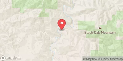 Elder C Nr Branscomb Ca
|
26cfs |
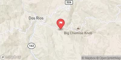 Mf Eel R Nr Dos Rios Ca
|
1620cfs |
 Sf Eel R Nr Miranda Ca
|
2420cfs |
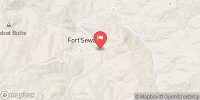 Eel R A Fort Seward Ca
|
5170cfs |
 Mattole R Nr Ettersburg Ca
|
470cfs |


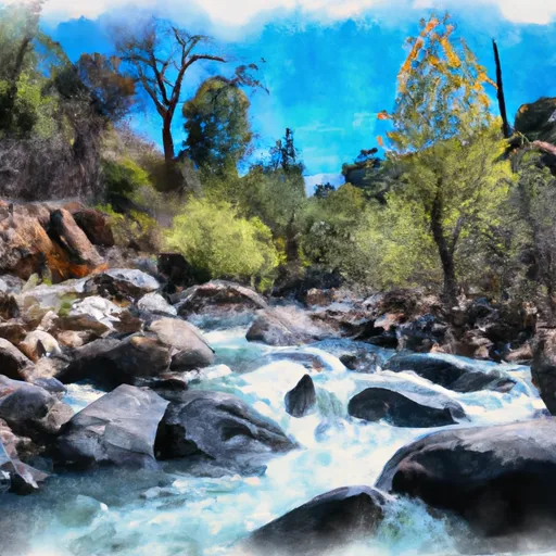 Cedar Creek Trib
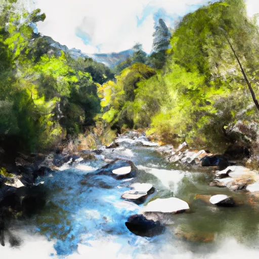 Cedar Creek
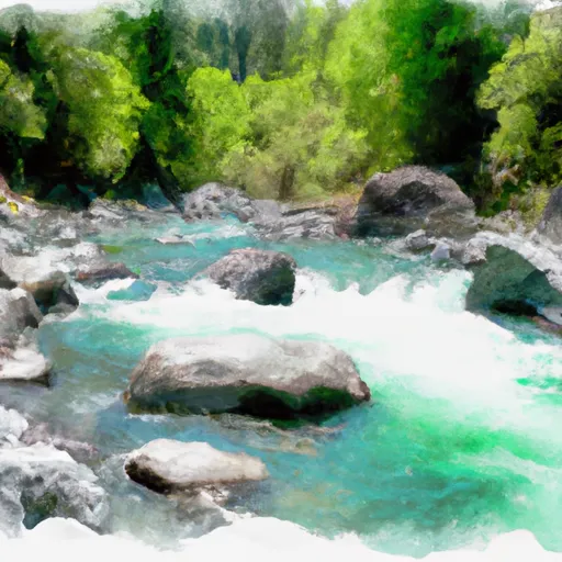 North Fork Cedar Creek
 East Branch South Fork Eel
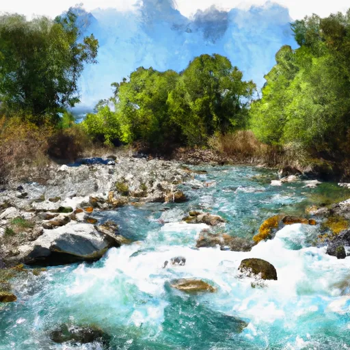 Rattlesnake Creek
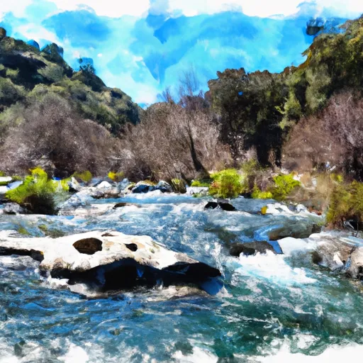 Bell Springs Creek Trib
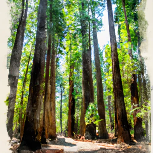 Smithe Redwoods State Reserve
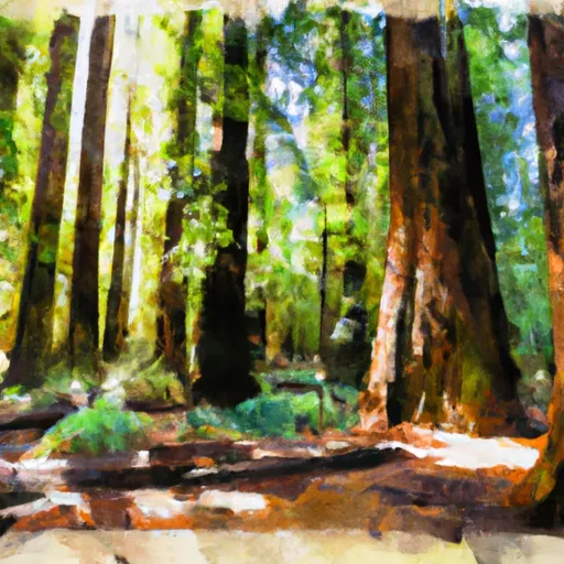 Natural Reserve Smithe Redwoods State
 Elkhorn Ridge Potential Wilderness
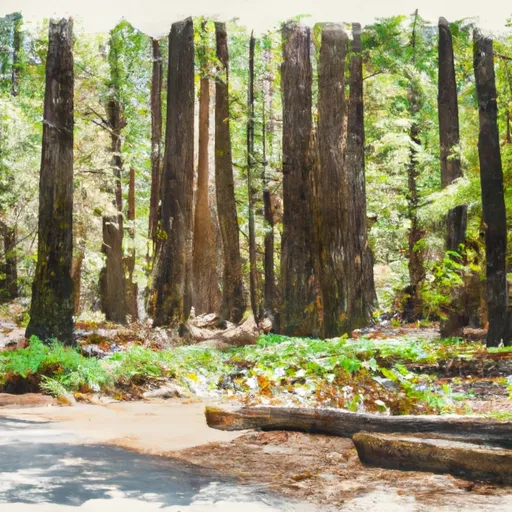 Richardson Grove State Park