2026-02-25T00:00:00-08:00
* WHAT...Flooding caused by excessive rainfall continues to be possible. * WHERE...A portion of northwest California, including the following areas, Del Norte County, Humboldt County, Trinity County, Mendocino County and Lake County. * WHEN...From Monday evening through Tuesday evening. * IMPACTS...There will be an increased risk of rock and land slides along roadways. Excessive runoff may result in flooding of rivers, creeks, streams, and other low-lying and flood-prone locations. * ADDITIONAL DETAILS... - A prolonged duration of moderate to heavy rain is expected. - http://www.weather.gov/safety/flood
Summary
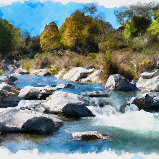
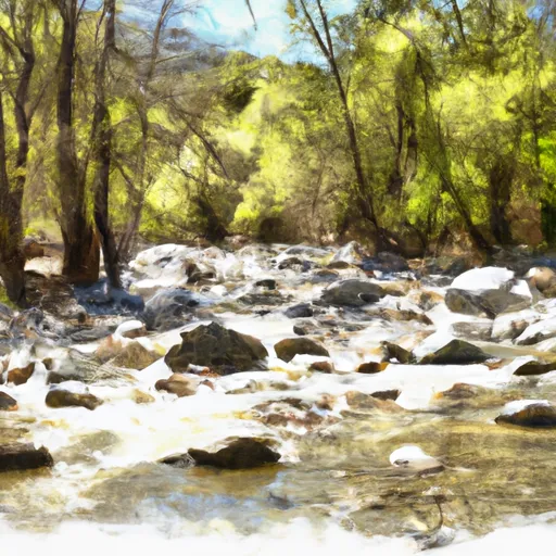
The ideal streamflow range for this river run is between 150-400 cfs, with 300 cfs being the optimal flow for kayakers and rafters. The river is rated as Class III, with a few Class IV rapids thrown in for good measure. The segment mileage for the White Rock Creek Tributary is approximately 9 miles.
Some of the specific rapids and obstacles on this river include "The Meatgrinder," "Pinball," and "The S-Turns." These rapids are known for their technical challenges, with steep drops, tight turns, and turbulent water.
In terms of regulations, the White Rock Creek Tributary is located on private property, which means that river runners must obtain permission from the landowner before accessing the river. Additionally, visitors are required to pack out all trash and leave the area in the same condition as they found it.
Overall, the White Rock Creek Tributary is a challenging and exciting river run that is best suited for experienced kayakers and rafters who are looking for a technical challenge. With its steep drops, tight turns, and turbulent water, this river provides a thrilling adventure for those who are up to the challenge.
°F
°F
mph
Wind
%
Humidity
15-Day Weather Outlook
River Run Details
| Last Updated | 2025-06-28 |
| River Levels | 4 cfs (3.15 ft) |
| Percent of Normal | 117% |
| Status | |
| Class Level | iii-iv |
| Elevation | ft |
| Streamflow Discharge | cfs |
| Gauge Height | ft |
| Reporting Streamgage | USGS 11475560 |
5-Day Hourly Forecast Detail
Nearby Streamflow Levels
 Elder C Nr Branscomb Ca
|
26cfs |
 Mf Eel R Nr Dos Rios Ca
|
1620cfs |
 Sf Eel R A Leggett Ca
|
1220cfs |
 Willits C Ab Lk Emily Nr Willits Ca
|
0cfs |
 Outlet C Nr Willits Ca
|
88cfs |
 Noyo R Nr Fort Bragg Ca
|
435cfs |


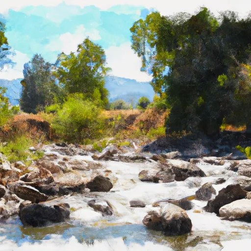 White Rock Creek Trib
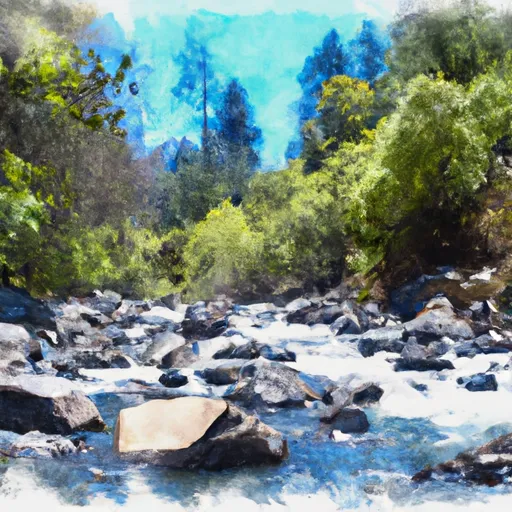 Woodman Creek Trib
 White Rock Creek
 Woodman Creek
 Angelo Coast Range Reserve
 Elkhorn Ridge Potential Wilderness
 Admiral Standley State Park