2026-02-25T00:00:00-08:00
* WHAT...Flooding caused by excessive rainfall continues to be possible. * WHERE...A portion of northwest California, including the following areas, Del Norte County, Humboldt County, Trinity County, Mendocino County and Lake County. * WHEN...From Monday evening through Tuesday evening. * IMPACTS...There will be an increased risk of rock and land slides along roadways. Excessive runoff may result in flooding of rivers, creeks, streams, and other low-lying and flood-prone locations. * ADDITIONAL DETAILS... - A prolonged duration of moderate to heavy rain is expected. - http://www.weather.gov/safety/flood
Summary
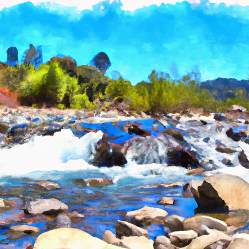
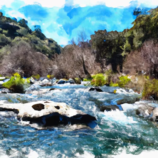
The ideal streamflow range for this river run is between 300-1000 cfs. The run starts at Charlton Peak and ends at the South Fork of the Santa Ana River, and is known for its steep gradient, narrow channels, and technical rapids.
The most challenging section of the river is the three-mile stretch from Charlton Peak to the confluence with Plunge Creek. This section is characterized by steep drops, tight turns, and boulder gardens. The most notable rapids on this section are the Charlton Falls, a 20-foot waterfall, and the Plunge Creek Falls, a 60-foot waterfall.
There are specific regulations to the area, and permits are required to run this river. The permits are issued by the US Forest Service, and only a limited number of permits are available each year. Additionally, there are restrictions on camping, fires, and group size.
In conclusion, Charlton Creek is a challenging and technical river run that requires experience and skill. The ideal streamflow range is between 300-1000 cfs, and the class rating is IV-V. The most challenging section of the river is the three-mile stretch from Charlton Peak to the confluence with Plunge Creek, characterized by steep drops, tight turns, and boulder gardens. Permits are required to run the river, and there are specific regulations to the area.
°F
°F
mph
Wind
%
Humidity
15-Day Weather Outlook
River Run Details
| Last Updated | 2025-06-28 |
| River Levels | 73 cfs (5.38 ft) |
| Percent of Normal | 109% |
| Status | |
| Class Level | iv-v |
| Elevation | ft |
| Streamflow Discharge | cfs |
| Gauge Height | ft |
| Reporting Streamgage | USGS 11475800 |
5-Day Hourly Forecast Detail
Nearby Streamflow Levels
 Sf Eel R A Leggett Ca
|
1220cfs |
 Elder C Nr Branscomb Ca
|
26cfs |
 Eel R A Fort Seward Ca
|
5170cfs |
 Sf Eel R Nr Miranda Ca
|
2420cfs |
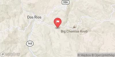 Mf Eel R Nr Dos Rios Ca
|
1620cfs |
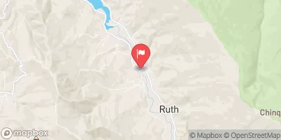 Mad R Ab Ruth Res Nr Forest Glen Ca
|
270cfs |


 Charlton Creek
 Bell Springs Creek Trib
 Bell Springs Creek
 Charlton Creek Trib
 East Branch South Fork Eel
 Cedar Creek
 Smithe Redwoods State Reserve
 Standish Hickey State Recreation Area
 Six Rivers National Forest