2026-02-22T10:00:00-08:00
* WHAT...Southeast winds 25 to 35 mph with gusts up to 75 mph. * WHERE...Humboldt Interior, Del Norte Interior, and Southwestern Humboldt. * WHEN...Until 10 AM PST Sunday. * IMPACTS...Wind gusts will be particularly strong along windward ridges and exposed coastal headlands.
Summary
The ideal streamflow range for this river is between 500 to 1500 cubic feet per second (cfs), providing a great balance between rapids and navigable sections. The class rating of the Mattole River ranges from II to V, offering a mix of moderate to extreme rapids.
The Mattole River run is 17 miles long and is divided into two segments. The upper section is 9 miles long and is rated as a class III to IV, containing rapids such as The Slot and The Squeeze. The lower section is 8 miles long and is rated as a class II to III, offering a more relaxed and scenic float.
One of the significant obstacles on the Mattole River is the infamous House Rock rapid, a class V rapid located in the upper section of the river. The rapid features a steep drop and a challenging entrance that requires precise maneuvering. Another obstacle to watch out for is the numerous strainers, which can be dangerous and difficult to navigate.
When planning to run the Mattole River, it is important to note that the river is only open for boating in the winter months from December to April. Additionally, visitors are required to have a permit to access the river, and groups are limited to a maximum of 15 people per permit.
Overall, the Mattole River run offers a thrilling and adventurous whitewater experience with a mix of rapids and navigable sections. It is important to be prepared and follow all regulations and safety guidelines when exploring this river.
°F
°F
mph
Wind
%
Humidity
15-Day Weather Outlook
River Run Details
| Last Updated | 2025-06-28 |
| River Levels | 117 cfs (12.28 ft) |
| Percent of Normal | 107% |
| Status | |
| Class Level | iii-ii |
| Elevation | ft |
| Streamflow Discharge | cfs |
| Gauge Height | ft |
| Reporting Streamgage | USGS 11469000 |
5-Day Hourly Forecast Detail
Nearby Streamflow Levels
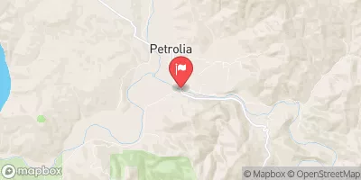 Mattole R Nr Petrolia Ca
|
1390cfs |
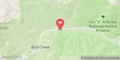 Bull C Nr Weott Ca
|
266cfs |
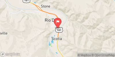 Eel R A Scotia Ca
|
13300cfs |
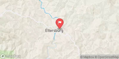 Mattole R Nr Ettersburg Ca
|
572cfs |
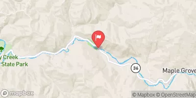 Van Duzen R Nr Bridgeville Ca
|
461cfs |
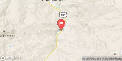 Sf Eel R Nr Miranda Ca
|
2830cfs |
Area Campgrounds
| Location | Reservations | Toilets |
|---|---|---|
 Mattole
|
||
 A.W. Way County Park
|
||
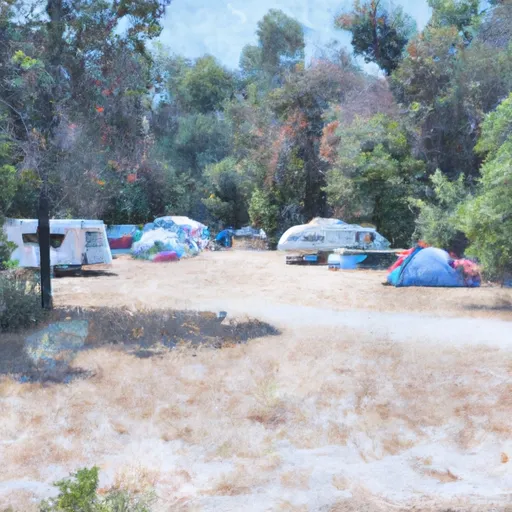 Arthur W. Way County Memorial Park Campground
|
||
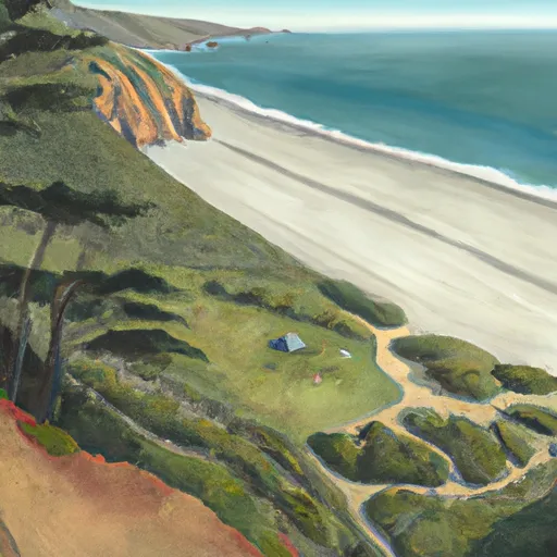 Sea Lion Gulch
|
||
 Cooskie Creek
|
||
 Randall Creek
|
River Runs
-
 Mattole River
-
 From Private Land Boundary Between Sec. 8 And 17, T2S, R2W, Hm To To The Pacific Ocean
-
 Mill Creek
-
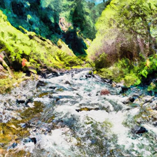 From Its Headwaters In Sec. 21, T2S, R2W, Hm To To Its Junction With The Mattole River
-
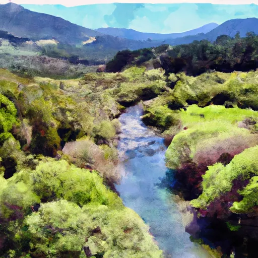 Headwaters In Sec. 27., T2S, R2W, Hm To To Its Junction With The Mattole River
-
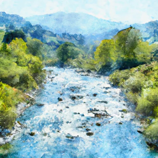 From Its Headwaters In Sec 27, T2S, R2W, Hm To To The Pacific Ocean

