Summary
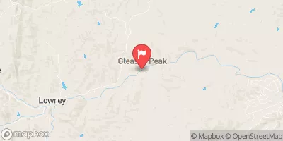
Hulls Creek is a popular whitewater river run located in California. The ideal streamflow range (cfs) for Hulls Creek ranges between 200 and 500 cfs. The class rating for Hulls Creek is Class IV-V, making it a challenging river for experienced kayakers and rafters. The segment mileage for Hulls Creek is 3.5 miles, starting from the put-in at Frazier Falls to the take-out at the confluence with the North Fork Feather River.
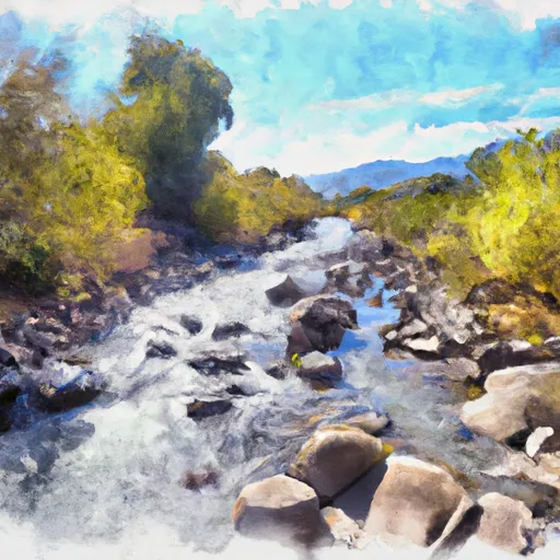
Specific river rapids/obstacles on Hulls Creek include the Entrance Rapid, which is a Class V drop that marks the beginning of the run. Other notable rapids on Hulls Creek include the Wicked Witch, Widowmaker, and Toilet Bowl. The rapids on Hulls Creek require advanced paddling skills and knowledge of proper river safety.
There are specific regulations that apply to Hulls Creek. The area is managed by the Plumas National Forest, and visitors must obtain a permit to access the river. The permit is free and can be obtained from the Forest Service Ranger Station. Additionally, visitors must adhere to Leave No Trace principles and pack out all trash and waste.
In conclusion, Hulls Creek is a challenging whitewater river run in California with a Class IV-V rating and a streamflow range of 200-500 cfs. The segment mileage is 3.5 miles, and there are specific rapids and obstacles that require advanced paddling skills. Regulations include obtaining a permit and adhering to Leave No Trace principles.
°F
°F
mph
Wind
%
Humidity
15-Day Weather Outlook
River Run Details
| Last Updated | 2025-06-28 |
| River Levels | 566 cfs (6.04 ft) |
| Percent of Normal | 52% |
| Status | |
| Class Level | iv-v |
| Elevation | ft |
| Streamflow Discharge | cfs |
| Gauge Height | ft |
| Reporting Streamgage | USGS 11473900 |
5-Day Hourly Forecast Detail
Nearby Streamflow Levels
 Mf Eel R Nr Dos Rios Ca
|
1670cfs |
 Mad R Ab Ruth Res Nr Forest Glen Ca
|
216cfs |
 Elder C Nr Branscomb Ca
|
26cfs |
 Sf Eel R A Leggett Ca
|
1480cfs |
 Eel R A Fort Seward Ca
|
6240cfs |
 Elder C Nr Paskenta Ca
|
216cfs |
Area Campgrounds
| Location | Reservations | Toilets |
|---|---|---|
 Police Camp
|
||
 Brown Camp
|
||
 Butte Camp
|
||
 Hammerhorn Campground
|
||
 Hammerhorn Lake
|
||
 Eel River
|


 Hulls Creek
 Casoose Creek
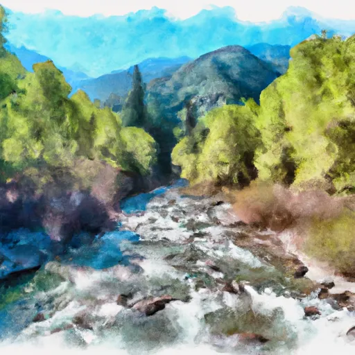 Headwaters In Sec 27, T26N, R10W To Confluence With Middle Fork Eel River
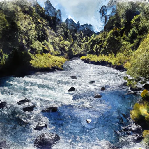 Headwaters In Sec 27, T26N, R10W To One Mile North Of Fern Point, At Boundary Of Designated Eel River
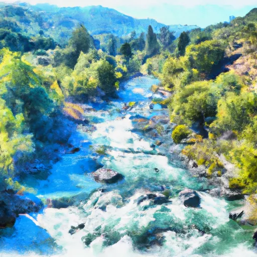 Nw 1/4 Sec 26, T26N, R12W To Confluence With North Fork Eel River
 National Wild and Scenic River Eel, California
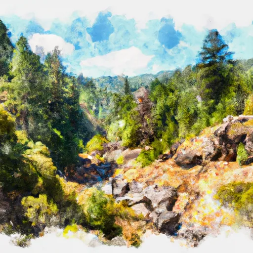 Six Rivers National Forest
 Wilderness North Fork