Summary
The ideal streamflow range for this area is between 200 and 800 cubic feet per second (cfs). This segment of the river is rated as a Class IV-V, which means it is recommended for experienced kayakers and rafters due to its difficult rapids and obstacles.
The segment of the river that runs through the Lower Horse Creek Canyon is approximately 4 miles long. This stretch of the river is known for its steep drops, tight chutes, and technical rapids, such as the "Staircase" and "Boulder Drop."
It is important to note that there are specific regulations in place for this area. All boaters must obtain a permit from the Bureau of Land Management (BLM) before entering the river. Additionally, all boaters must wear a personal floatation device (PFD) and carry a rescue throw bag.
In conclusion, the Lower Horse Creek Canyon is a challenging whitewater river run in California, with an ideal streamflow range between 200 and 800 cfs and a Class IV-V rating. The segment of the river is approximately 4 miles long and features technical rapids and obstacles. Boaters must obtain a permit from the BLM and adhere to specific regulations while on the river.
°F
°F
mph
Wind
%
Humidity
15-Day Weather Outlook
River Run Details
| Last Updated | 2025-06-28 |
| River Levels | 287 cfs (3.54 ft) |
| Percent of Normal | 112% |
| Status | |
| Class Level | iv-v |
| Elevation | ft |
| Streamflow Discharge | cfs |
| Gauge Height | ft |
| Reporting Streamgage | USGS 11355500 |
5-Day Hourly Forecast Detail
Nearby Streamflow Levels
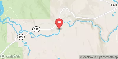 Pit R Bl Pit No 1 Ph Nr Fall River Mills Ca
|
1820cfs |
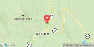 Hat C Nr Hat Creek Ca
|
164cfs |
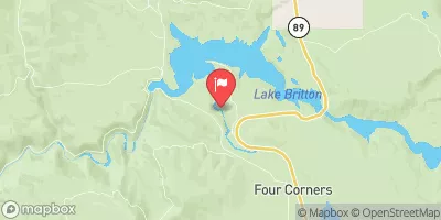 Burney C A Burney Falls Nr Burney Ca
|
168cfs |
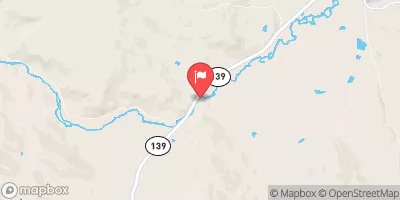 Pit R Nr Canby Ca
|
150cfs |
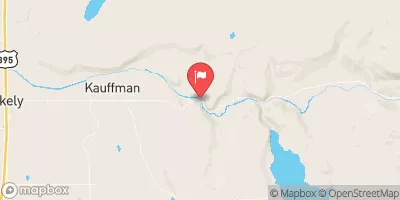 Sf Pit R Nr Likely Ca
|
10cfs |
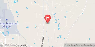 Cow C Nr Millville Ca
|
847cfs |


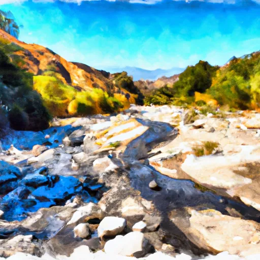 Lower Horse Creek Canyon
 Begins 2.5 Miles West Of Little Valley, California To Juncture With The Pit River.
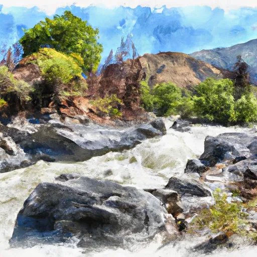
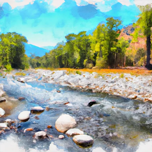 Begins Near Muck Valley To Ends Two Miles From The Fall River Valley
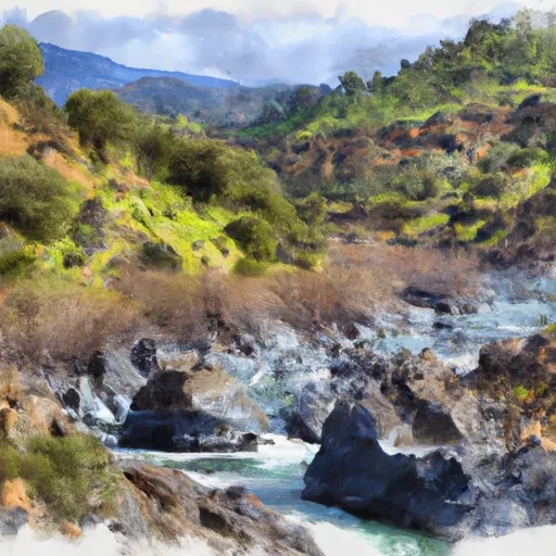 Upper Pit River Canyon