2026-02-25T00:00:00-08:00
* WHAT...Flooding caused by excessive rainfall is possible. * WHERE...A portion of northwest California, including the following areas, Coastal Del Norte, Del Norte Interior, Mendocino Coast, Northeastern Mendocino Interior, Northern Humboldt Coast, Northern Humboldt Interior, Northern Lake, Northern Trinity, Northwestern Mendocino Interior, Southeastern Mendocino Interior, Southern Humboldt Interior, Southern Lake, Southern Trinity, Southwestern Humboldt and Southwestern Mendocino Interior. * WHEN...From Monday evening through Tuesday evening. * IMPACTS...There will be an increased risk of rock and land slides along roadways. Excessive runoff may result in flooding of rivers, creeks, streams, and other low-lying and flood-prone locations. * ADDITIONAL DETAILS... - A prolonged duration of moderate to heavy rain is expected. - http://www.weather.gov/safety/flood
Summary
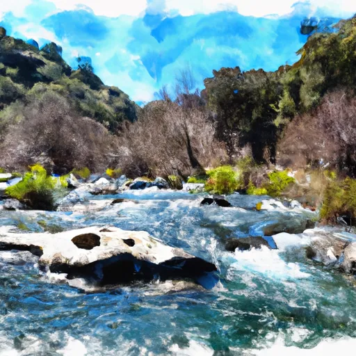
The ideal streamflow range for this river run is between 400 and 1,200 cubic feet per second (cfs), which typically occurs during the spring and early summer months. The class rating for this river run is Class III-IV, making it a challenging and exciting experience for intermediate to advanced paddlers.
The segment mileage for this river run is approximately 9 miles, with a put-in at the Dos Rios Bridge and a take-out at the South Fork Eel River. The river rapids and obstacles that paddlers can expect to encounter include the Hurricane Hole, which is a Class IV rapid, as well as numerous Class III rapids such as Pinball, Haystack, and Waterslide.
Specific regulations to the area include a mandatory shuttle service, which is designed to reduce traffic congestion and protect the environment. Additionally, all paddlers are required to wear a personal flotation device (PFD) and have a whistle on their person. It is also recommended that paddlers have prior whitewater experience and training before attempting this river run.
In summary, the East Branch South Fork Eel is a challenging and exciting whitewater river run with an ideal streamflow range between 400 and 1,200 cfs. The class rating is Class III-IV, with a segment mileage of 9 miles and specific river rapids and obstacles such as Hurricane Hole, Pinball, and Haystack. Specific regulations to the area include a mandatory shuttle service, PFD and whistle requirements, and recommended prior whitewater experience and training.
°F
°F
mph
Wind
%
Humidity
15-Day Weather Outlook
River Run Details
| Last Updated | 2025-06-28 |
| River Levels | 73 cfs (5.38 ft) |
| Percent of Normal | 109% |
| Status | |
| Class Level | iii-iv |
| Elevation | ft |
| Streamflow Discharge | cfs |
| Gauge Height | ft |
| Reporting Streamgage | USGS 11475800 |
5-Day Hourly Forecast Detail
Nearby Streamflow Levels
 Sf Eel R A Leggett Ca
|
1220cfs |
 Elder C Nr Branscomb Ca
|
26cfs |
 Sf Eel R Nr Miranda Ca
|
2420cfs |
 Eel R A Fort Seward Ca
|
5170cfs |
 Mf Eel R Nr Dos Rios Ca
|
1620cfs |
 Mattole R Nr Ettersburg Ca
|
470cfs |


 East Branch South Fork Eel
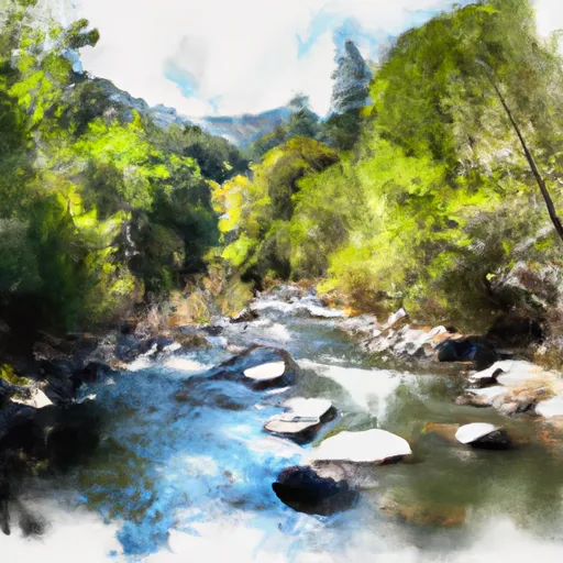 Cedar Creek
 North Fork Cedar Creek
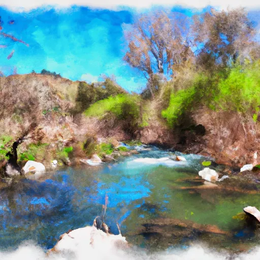 Bell Springs Creek
 Cedar Creek Trib
 Bell Springs Creek Trib
 Smithe Redwoods State Reserve
 Standish Hickey State Recreation Area
 Richardson Grove State Park
 Benbow Lake State Recreation Area