Summary
The ideal streamflow range for this river is between 200-500 cubic feet per second (cfs), with the best conditions occurring during the spring months of April and May. The segment mileage of this river run is approximately 9 miles long, with a class rating of III-IV.
There are several notable rapids and obstacles to be aware of on Green Creek. The first rapid is called "Entrance Exam," which is a class III drop that requires precise maneuvering to navigate successfully. Other notable rapids include "Lower Entrance Exam," "Marble Gorge," and "The Maze." The most challenging obstacle on this river is the "Corkscrew" rapid, which is a class IV drop that requires expert-level skills to navigate safely.
In terms of regulations, the use of personal flotation devices (PFDs) is mandatory for all participants on Green Creek. Additionally, all paddlers must be experienced and able to handle the class III-IV rapids. There are also restrictions on the number of people allowed on the river at one time, and a permit is required to access the launch site.
Overall, Green Creek is a thrilling whitewater river run that offers exciting rapids and challenges for experienced paddlers. It is important to follow all regulations and safety precautions to ensure a safe and enjoyable trip.
°F
°F
mph
Wind
%
Humidity
15-Day Weather Outlook
River Run Details
| Last Updated | 2025-06-28 |
| River Levels | 235 cfs (2.76 ft) |
| Percent of Normal | 56% |
| Status | |
| Class Level | iii-iv |
| Elevation | ft |
| Streamflow Discharge | cfs |
| Gauge Height | ft |
| Reporting Streamgage | USGS 10289500 |
5-Day Hourly Forecast Detail
Nearby Streamflow Levels
Area Campgrounds
| Location | Reservations | Toilets |
|---|---|---|
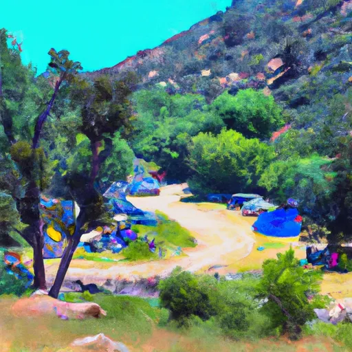 Green Creek Group Campground
|
||
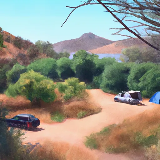 Green Creek Campground
|
||
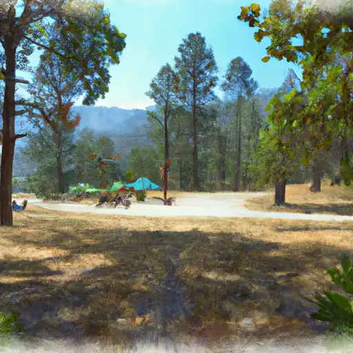 Green Creek
|
||
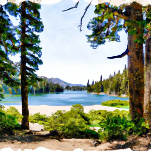 Lower Twin Lake
|
||
 Paha
Paha
|
||
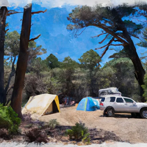 Paha Campground
|


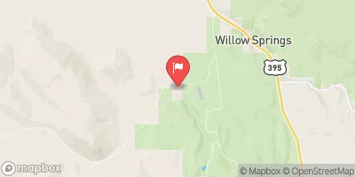
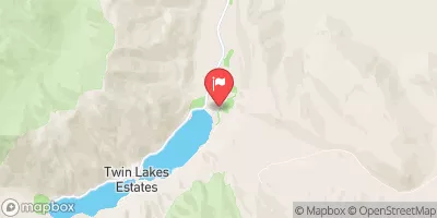
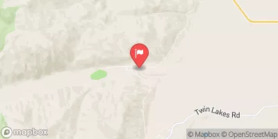
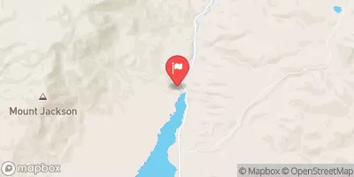
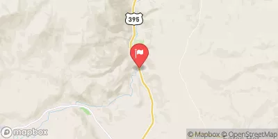
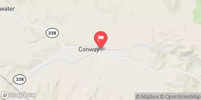
 Green Creek
 Dog Creek
 Virginia Creek
 Hoover Wilderness Boundary To Humboldt-Toiyabe National Forest Boundary
 Headwaters To Hoover Wilderness Boundary
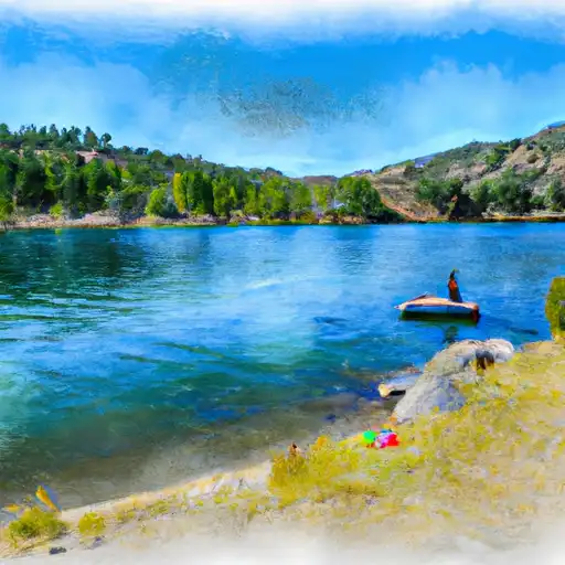 Twin Lakes (Bridgeport)
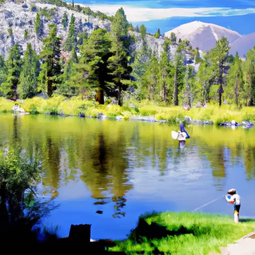 Virginia Lakes
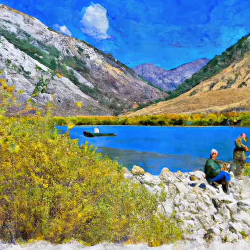 Lundy Lake
 Avalanche Lake
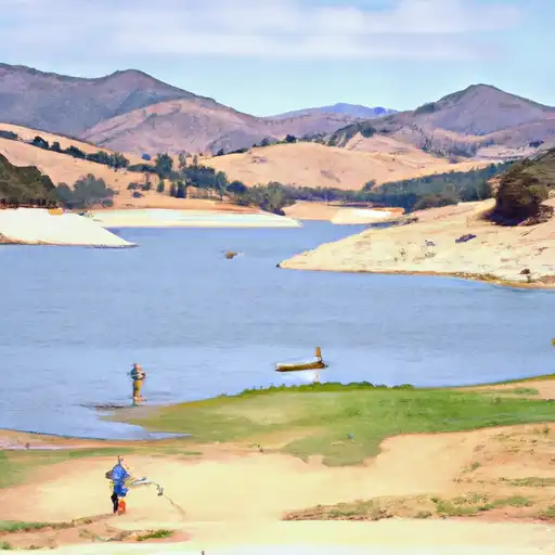 Bridgeport Reservoir