2026-02-25T00:00:00-08:00
* WHAT...Flooding caused by excessive rainfall is possible. * WHERE...A portion of northwest California, including the following areas, Coastal Del Norte, Del Norte Interior, Mendocino Coast, Northeastern Mendocino Interior, Northern Humboldt Coast, Northern Humboldt Interior, Northern Lake, Northern Trinity, Northwestern Mendocino Interior, Southeastern Mendocino Interior, Southern Humboldt Interior, Southern Lake, Southern Trinity, Southwestern Humboldt and Southwestern Mendocino Interior. * WHEN...From Monday evening through Tuesday evening. * IMPACTS...There will be an increased risk of rock and land slides along roadways. Excessive runoff may result in flooding of rivers, creeks, streams, and other low-lying and flood-prone locations. * ADDITIONAL DETAILS... - A prolonged duration of moderate to heavy rain is expected. - http://www.weather.gov/safety/flood
Summary
The ideal streamflow range for this river is between 200-600 cfs, with 400 cfs being the optimal range.
The class rating for Tenmile Creek is Class III-IV, with some portions of the river being more challenging than others. The segment mileage for the river is approximately 6 miles, which can take up to 3-4 hours to complete depending on the skill level of the paddlers.
The river features several challenging rapids and obstacles, such as "Rock Garden", "Triple Threat", and "Dead Tree Corner". These rapids require advanced paddling skills and experience to navigate safely.
In terms of specific regulations, the Tenmile Creek river run requires a permit from the Bureau of Land Management (BLM) and has a limited season from April to July. Additionally, all paddlers are required to wear a personal flotation device (PFD) and helmets are strongly recommended.
Overall, Tenmile Creek is a challenging and exciting whitewater river run that requires advanced paddling skills and experience. It is important to follow all regulations and safety guidelines to ensure a safe and enjoyable experience on the river.
°F
°F
mph
Wind
%
Humidity
15-Day Weather Outlook
River Run Details
| Last Updated | 2025-06-28 |
| River Levels | 4 cfs (3.15 ft) |
| Percent of Normal | 117% |
| Status | |
| Class Level | iii-iv |
| Elevation | ft |
| Streamflow Discharge | cfs |
| Gauge Height | ft |
| Reporting Streamgage | USGS 11475560 |
5-Day Hourly Forecast Detail
Nearby Streamflow Levels
 Elder C Nr Branscomb Ca
|
26cfs |
 Sf Eel R A Leggett Ca
|
1220cfs |
 Mf Eel R Nr Dos Rios Ca
|
1620cfs |
 Willits C Ab Lk Emily Nr Willits Ca
|
0cfs |
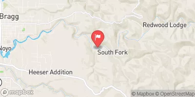 Noyo R Nr Fort Bragg Ca
|
435cfs |
 Outlet C Nr Willits Ca
|
88cfs |


 Tenmile Creek
 Elder Creek
 Elder Creek Trib (Paralyze)
 Woodman Creek Trib
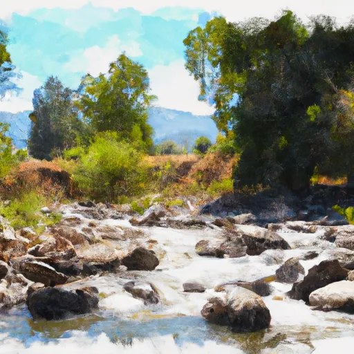 White Rock Creek Trib
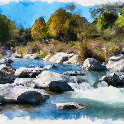 White Rock Creek
 Elkhorn Ridge Potential Wilderness
 South Fork Eel River Wilderness
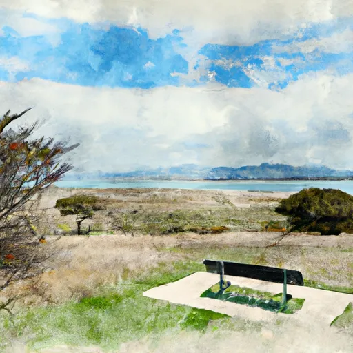 Admiral Standley State Park
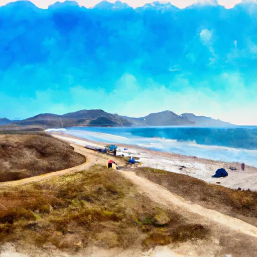 Westport-Union Landing State Beach
 Standish Hickey State Recreation Area