Summary
The best time to float this section is from May to September, with recommended CFS (cubic feet per second) of around 1,000-4,000. This section is suitable for intermediate to advanced paddlers and offers stunning views of the surrounding canyon. It is important to note that a permit is required for this section of the river.
°F
°F
mph
Wind
%
Humidity
15-Day Weather Outlook
River Run Details
| Last Updated | 2023-06-13 |
| River Levels | 512 cfs (2.05 ft) |
| Percent of Normal | 91% |
| Optimal Range | 700-2000 cfs |
| Status | Runnable |
| Class Level | III |
| Elevation | 1,951 ft |
| Run Length | 12.0 Mi |
| Gradient | 27 FPM |
| Streamflow Discharge | 919 cfs |
| Gauge Height | 3.2 ft |
| Reporting Streamgage | USGS 14076500 |
5-Day Hourly Forecast Detail
Nearby Streamflow Levels
 Crooked River Blw Osborne Canyon
|
167cfs |
 Crooked River Below Opal Springs
|
1270cfs |
 Deschutes River Near Culver
|
919cfs |
 Metolius River Near Grandview
|
1320cfs |
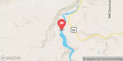 Deschutes River Near Madras
|
4130cfs |
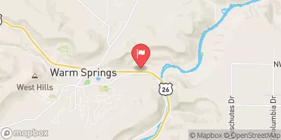 Shitike Creek Near Warm Springs
|
96cfs |


 Cline Falls State Park to Lower Bridge
 Canyon Run (Lower Bridge to Billy Chinook Res.)
 Tumalo State Park to Cline Falls State Park
 Valleyview Park
 Umatilla Sports Complex
 Fairhaven Park
 Kalama Park
 Pollack Memorial Field