Western Edge Of Bent's Old Fort National Historic Site To Eastern Edge Of Bent's Old Fort National Historic Site Paddle Report
Last Updated: 2025-11-13
The Whitewater River Run between the Western Edge of Bent's Old Fort National Historic Site to the Eastern Edge of Bent's Old Fort National Historic Site in Colorado is a popular destination for whitewater enthusiasts.
Summary
The ideal streamflow range for this river is between 200 and 800 cfs. The class rating for this stretch of the river is Class III, which means that it has moderate rapids and requires some skill and experience to navigate. The segment mileage for this run is approximately 6 miles.
The specific river rapids and obstacles on this stretch of the Whitewater River Run include the Gobbler, Pinball, and Trimmer rapids. The Gobbler is a challenging rapid with several large waves, while Pinball is a boulder-strewn section of the river that requires precise maneuvering. The Trimmer rapid is a technical section with several drops and eddies.
There are specific regulations in place to protect the area surrounding the Whitewater River Run. These regulations include restrictions on camping, fires, and littering. Additionally, all boaters are required to wear a personal flotation device (PFD) while on the river.
Overall, the Whitewater River Run between the Western Edge of Bent's Old Fort National Historic Site to the Eastern Edge of Bent's Old Fort National Historic Site in Colorado is a challenging and rewarding whitewater experience. It is important to follow all regulations and safety guidelines to ensure a safe and enjoyable adventure on the river.
°F
°F
mph
Wind
%
Humidity
15-Day Weather Outlook
River Run Details
| Last Updated | 2025-11-13 |
| River Levels | 731 cfs (8.97 ft) |
| Percent of Normal | 48% |
| Status | |
| Class Level | iii |
| Elevation | ft |
| Run Length | 3.0 Mi |
| Streamflow Discharge | cfs |
| Gauge Height | ft |
| Reporting Streamgage | USGS 07123000 |


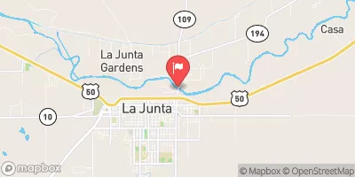
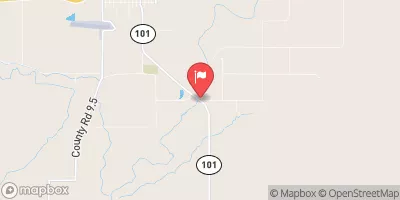
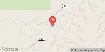
 Western Edge Of Bent'S Old Fort National Historic Site To Eastern Edge Of Bent'S Old Fort National Historic Site