Summary
The ideal streamflow range for this area is between 200 and 500 cfs. It is rated as a Class III-IV, making it suitable for intermediate to advanced paddlers. The segment distance is approximately 7.5 miles and takes around 4-6 hours to complete.
The rapids and obstacles in this section of the river include several Class III rapids, such as Beaver Falls, Razorback, and Frog Rock. Additionally, there are several rocks and boulders that must be navigated throughout the run.
There are specific regulations that kayakers and rafters must follow when paddling in this area. These include obtaining a permit from the US Forest Service, which can be obtained online or at local ranger stations. Additionally, all paddlers must wear a personal flotation device and helmets. Camping is only permitted in designated areas, and fires are prohibited.
Overall, the Beaver Creek to Cheeseman Reservoir section is a challenging and exciting whitewater river run that requires paddlers to have some experience. The area is well-regulated to ensure the safety of all paddlers and to protect the natural resources in the area.
°F
°F
mph
Wind
%
Humidity
15-Day Weather Outlook
River Run Details
| Last Updated | 2025-11-02 |
| River Levels | 51 cfs (0.68 ft) |
| Percent of Normal | 164% |
| Status | |
| Class Level | iii-iv |
| Elevation | ft |
| Streamflow Discharge | cfs |
| Gauge Height | ft |
| Reporting Streamgage | USGS 06695000 |
5-Day Hourly Forecast Detail
Nearby Streamflow Levels
Area Campgrounds
| Location | Reservations | Toilets |
|---|---|---|
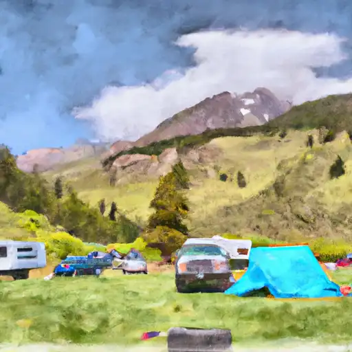 Happy Meadows
|
||
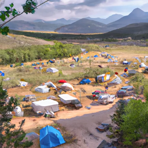 Happy Meadows Campground
|
||
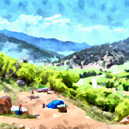 Round Mountain
|
||
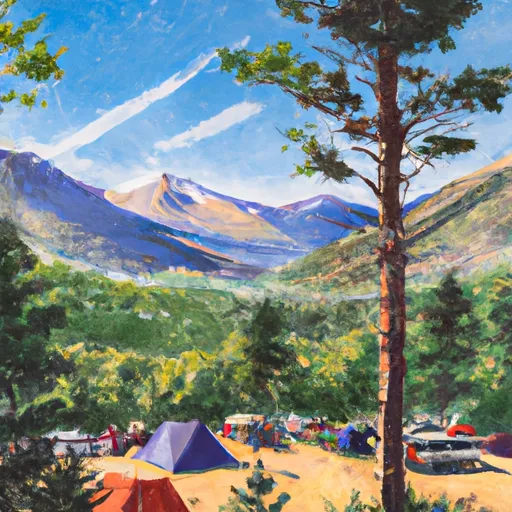 Blue Mountain
|
||
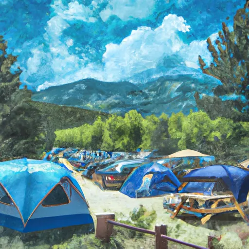 Blue Mountain Campground
|
||
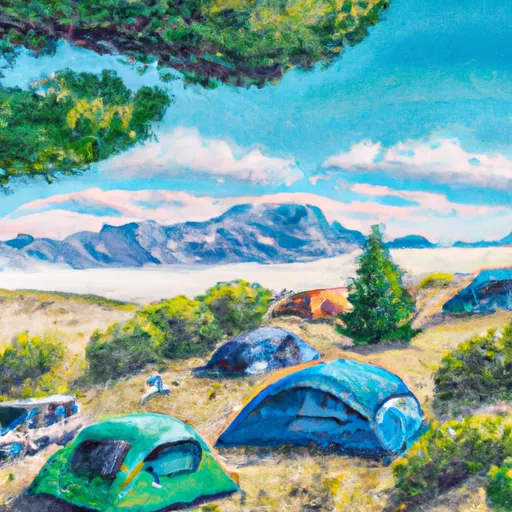 Wildhorn
|


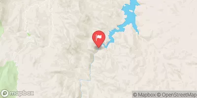
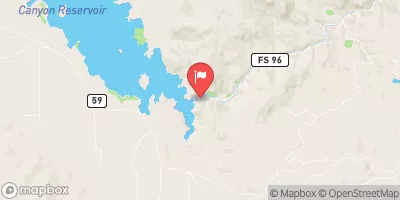
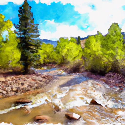 Private Land To Confluence With Beaver Creek
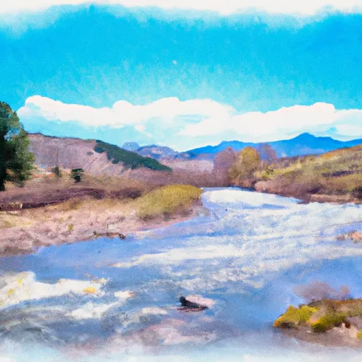 Beaver Creek To Cheeseman Reservoir
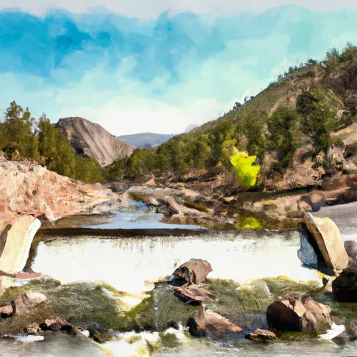 Eleven Mile Canyon Dam To Private Land In Vicinity Of Lake George
 Wilderness Lost Creek
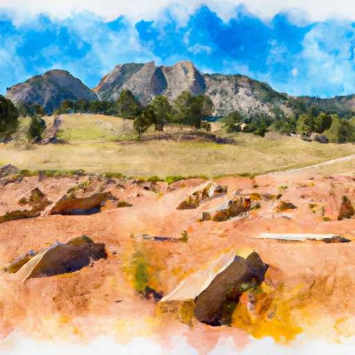 Florissant Fossil Beds National Monument
 Eleven Mile State Park