Summary
It is approximately 75 feet wide, providing enough space for multiple boats to launch and retrieve at the same time. The coordinates of the ramp are 39.55770111° N, -105.06713867° W.
The Chatfield Lake North Boat Ramp services Chatfield Reservoir, which is a popular recreational area for boating, fishing, and camping. The reservoir covers 1,400 acres and has a maximum depth of 47 feet.
The boating regulations at Chatfield Reservoir permit a wide variety of watercraft, including motorboats, sailboats, canoes, kayaks, and paddleboards. However, all boats must have a valid Colorado State Parks ANS Inspection seal to help prevent the spread of aquatic nuisance species.
As of 2021, the Chatfield State Park website provides updated information on the boat ramp's status, including whether it is open or closed due to low water levels or other issues. Boaters are advised to check the website before heading to the park to ensure that they can access the boat ramp.
°F
°F
mph
Wind
%
Humidity

 Chatfield Lake North Boat Ramp
 Idledale to Morrison
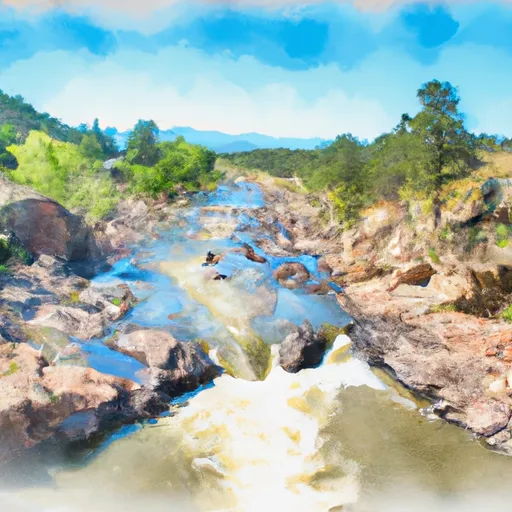 Cliffdale To Confluence With South Platte
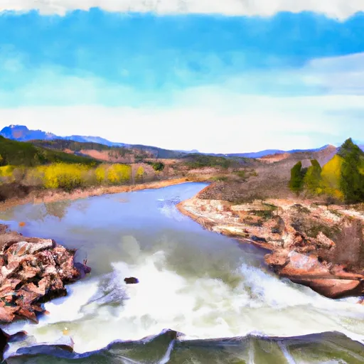 Wigman Club To Strontia Reservoir
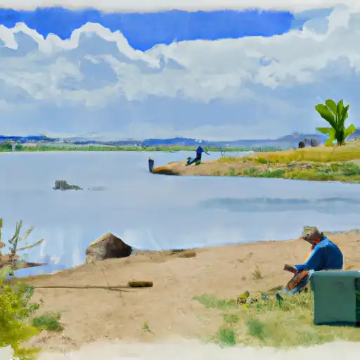 Chatfield Reservoir
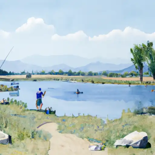 South Platte Park Ponds (Littleton Flood Plain Ponds)
 Eaglewatch Lake
 Redtail Lake
 Redstone Park Pond